

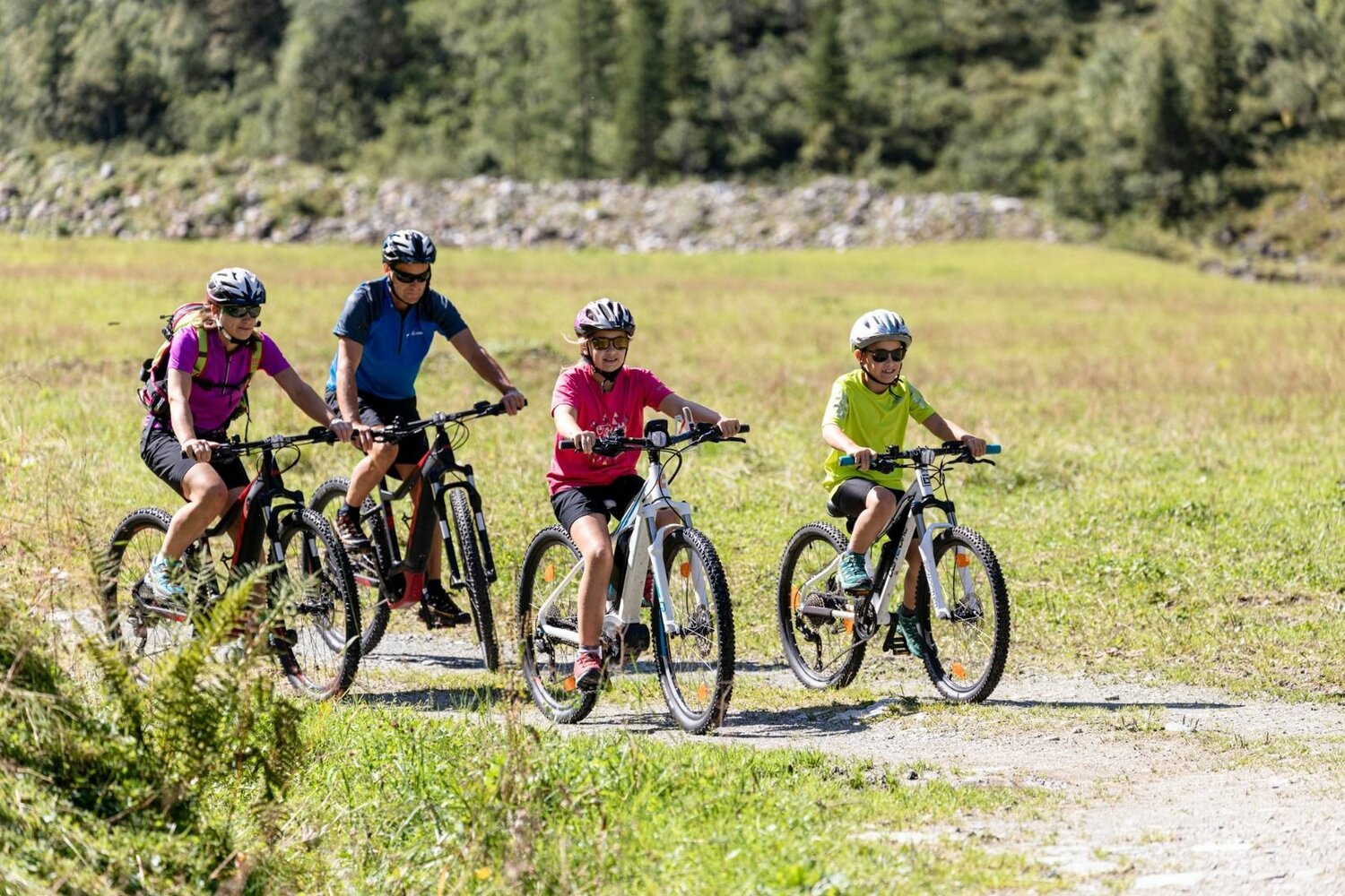
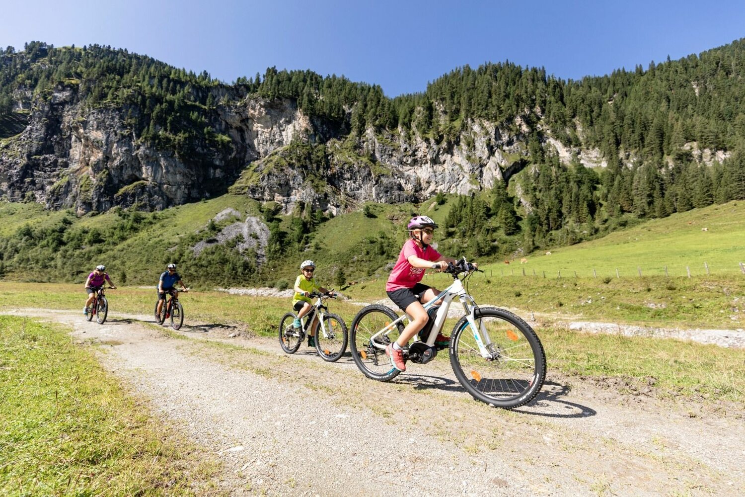
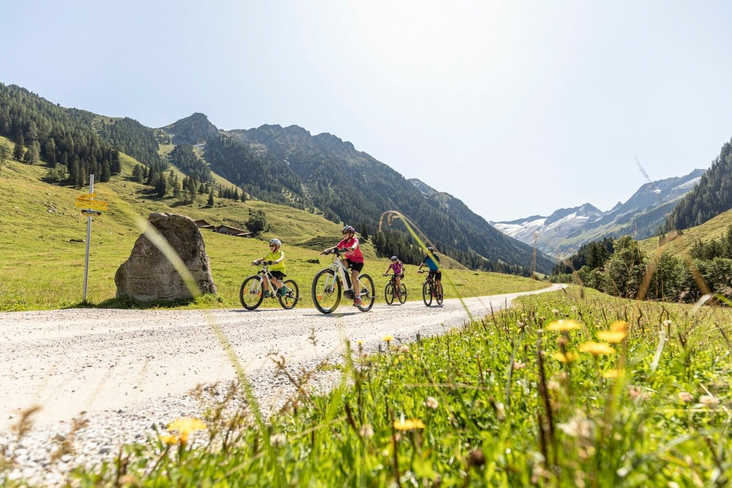
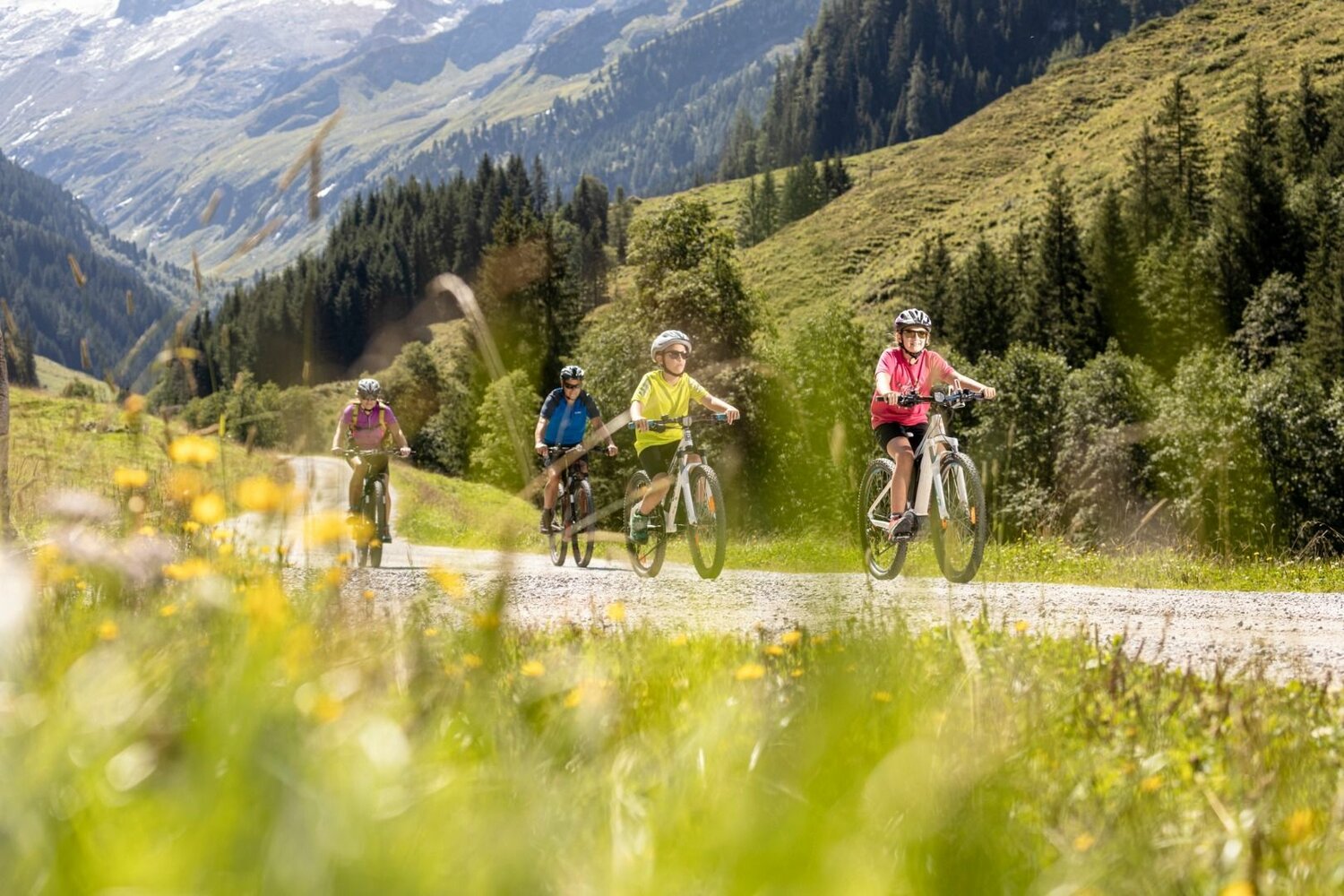
On the partly steep gravel road, good physical condition and driving skills are a prerequisite.
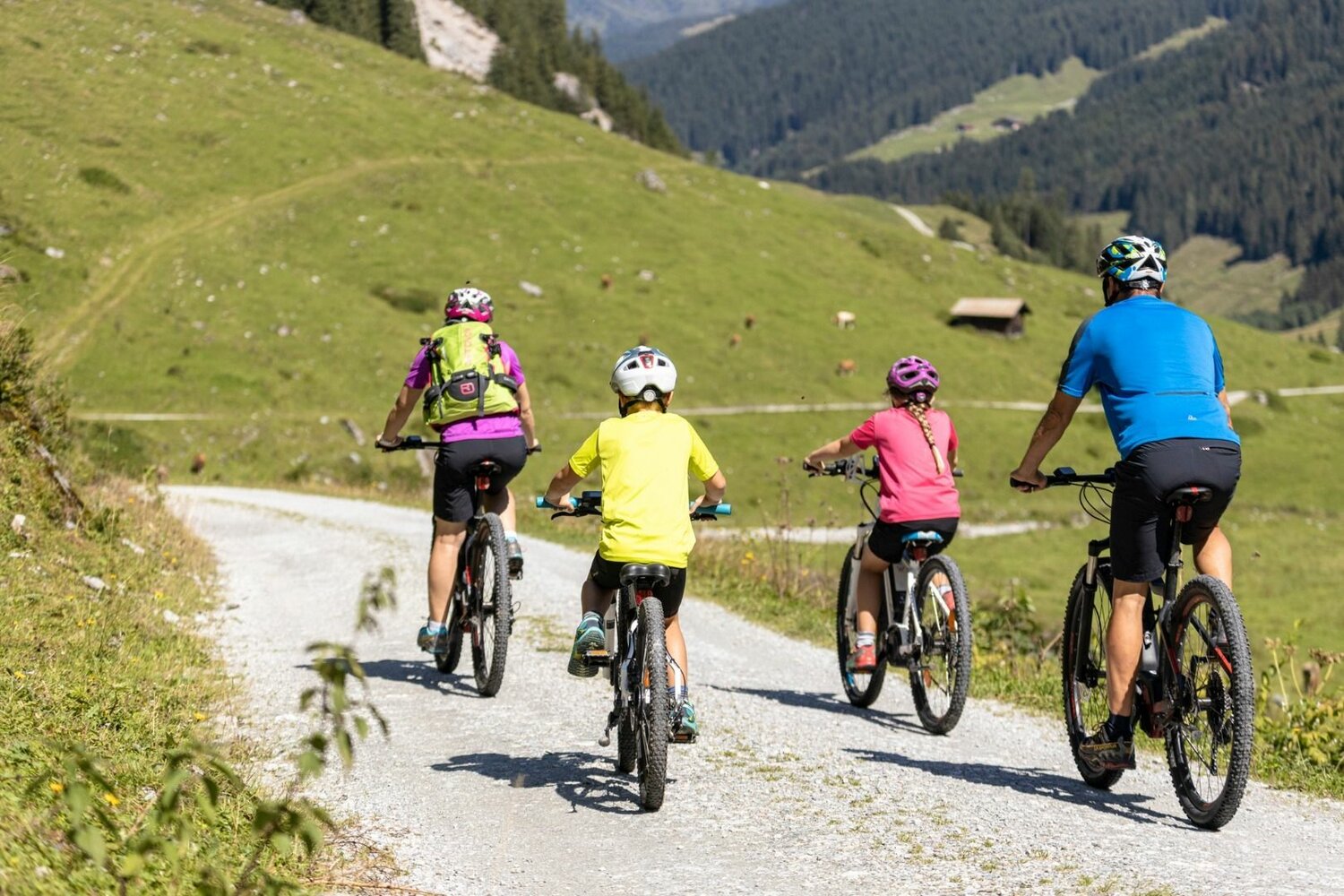


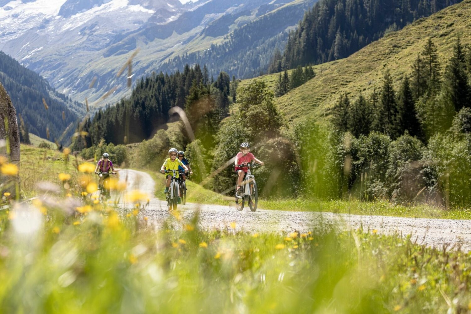
From the Issalm the path meanders in several serpentines up to the Stackerlalm
On the partly steep gravel road, good physical condition and driving skills are a prerequisite.