4012 - Schwarzachtal

Overview

Route Length
17.5 km
Difficulty
Middle
Roundtrip
No
altitude meters uphill
329 hm
altitude meters downhill
329 hm
highest point
1362 m
Stamina
Skills
Route Start

Gasthof Kühle Rast

Route End

Schwarzachalm

Altitude Profile

Weather

weather today
Light snowfall, mostly cloudy
weather tomorrow
Mostly sunny

Description

Pure biking fun through the picturesque Schwarzach valley.
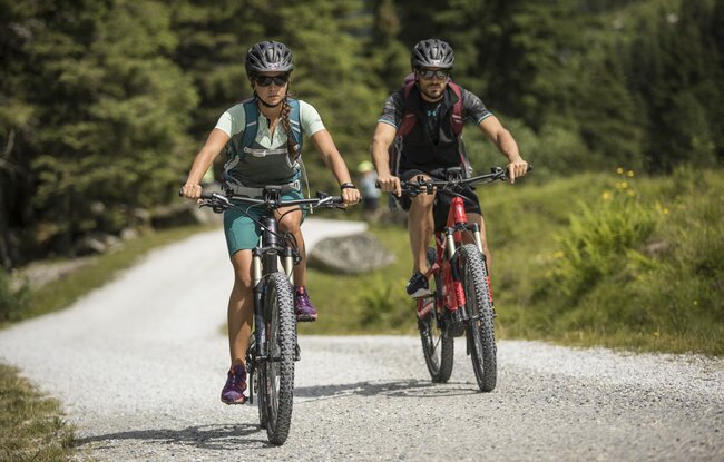
The starting point is at the music pavilion. After the bridge towards Schönachtal , keep to the right, the slightly ascending route continues on a goods path past the heating plant. Then gently sloping towards the forest playground along the stream to Gerlos-Gmünd. On the left bank of the Gmünder reservoir, the path leads to the entrance of the Schwarzach valley. You cycle over an initially narrow forest belt and wide gravel road to the Schwarzachalm.
 
Der Inhalt kann nicht angezeigt werden.
Bitte akzeptieren Sie die Cookies, um den Inhalt zu laden.