
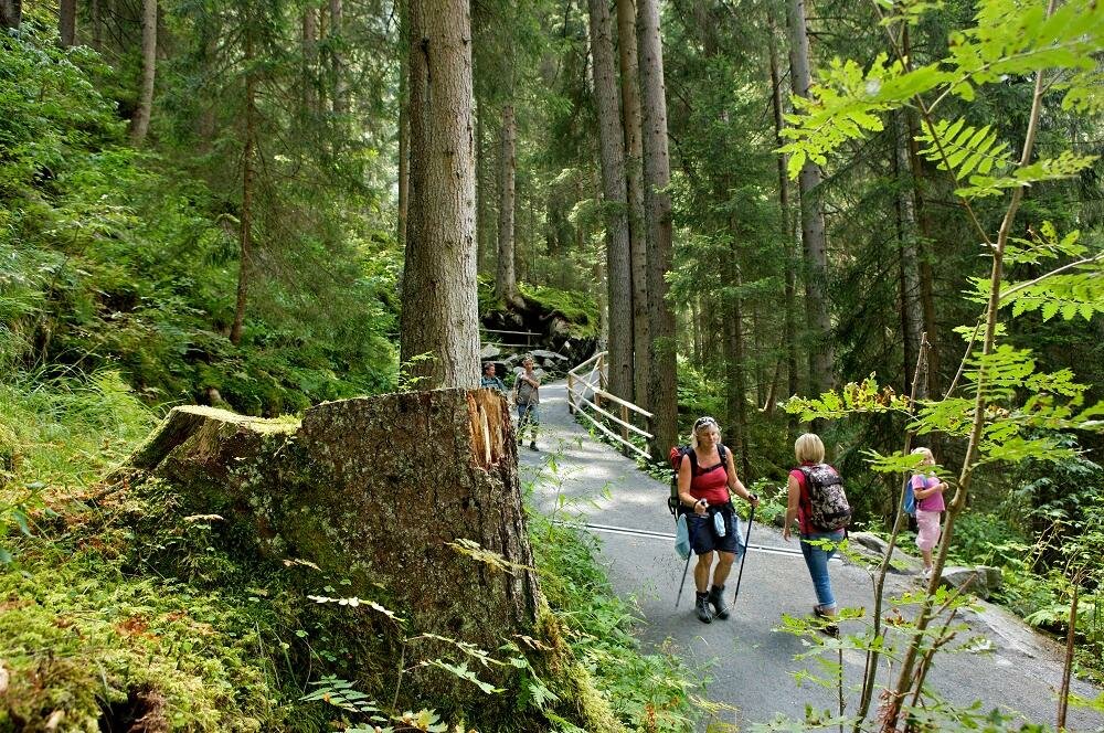
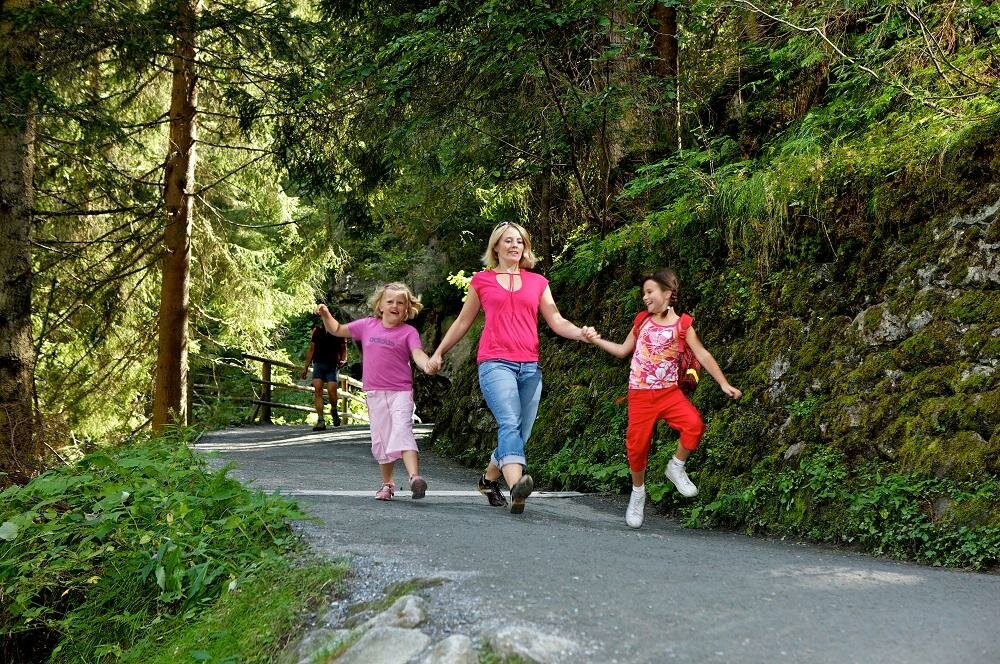
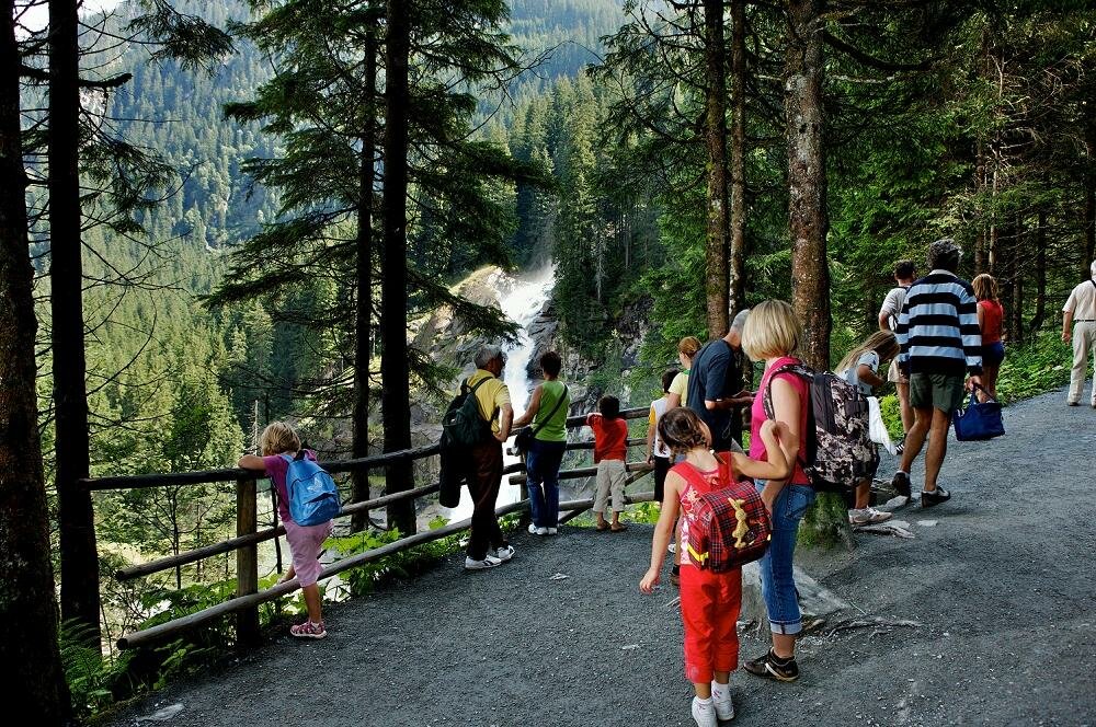
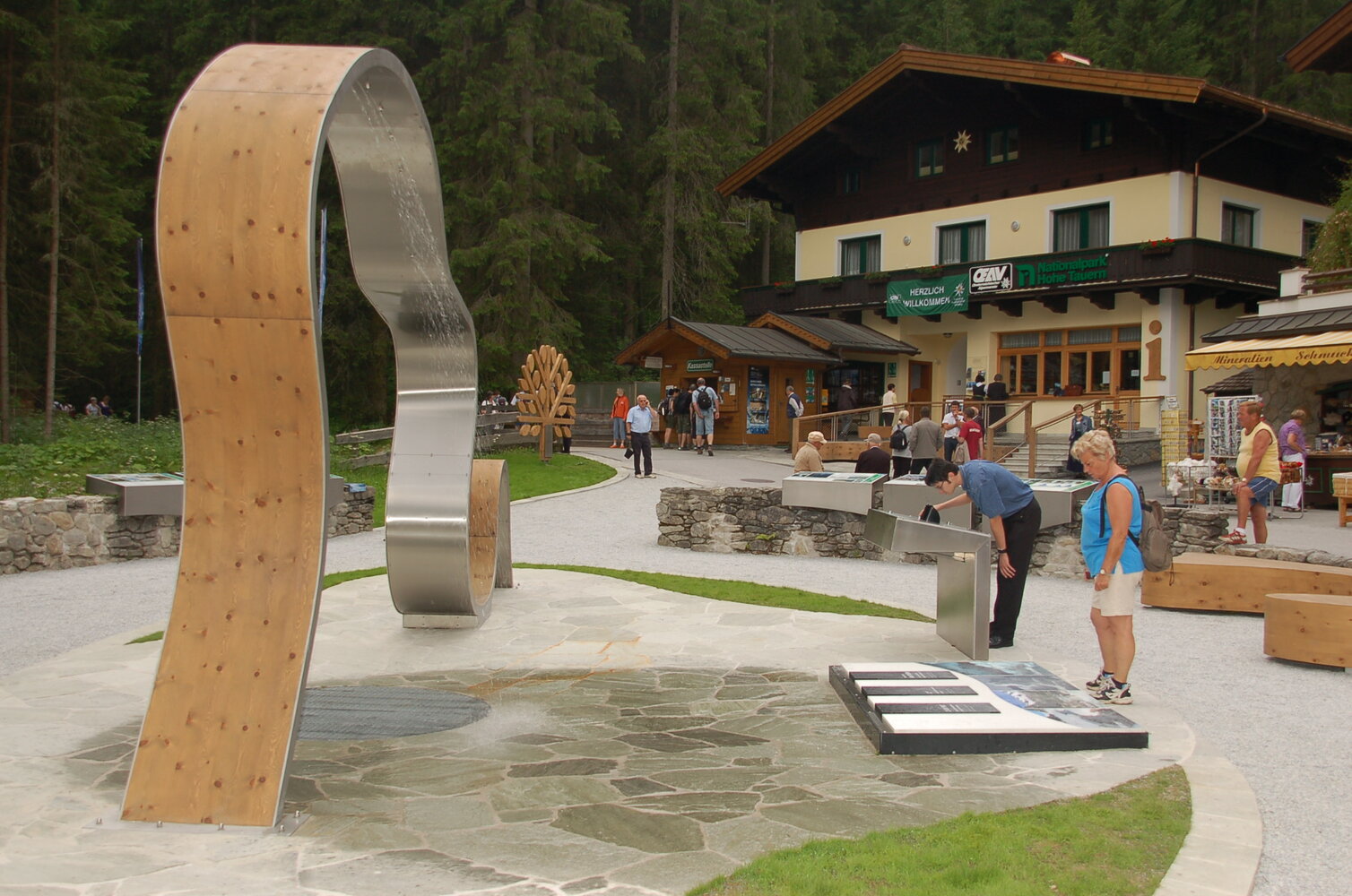
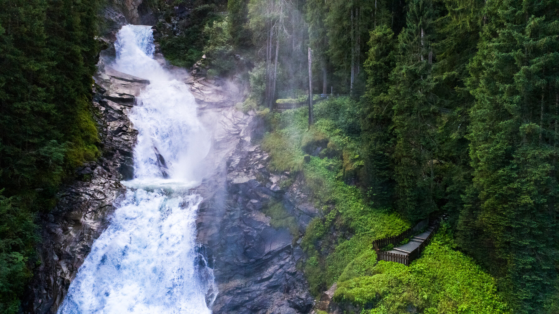

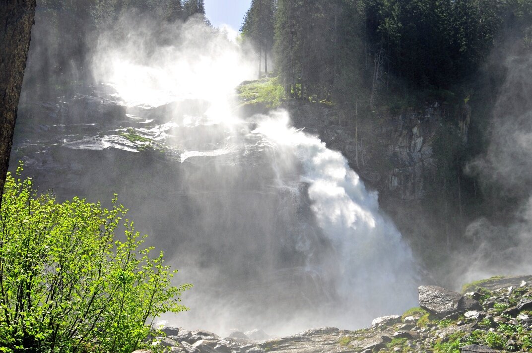
Starting from the Krimml Tourist Office, follow the street through the town towards WasserWelten. From here the path goes through an underpass and continues to the ticket office of the Krimml Waterfalls. Before the viewing path gets steeper, you can go a small way downhill directly to the lowest waterfall stage, the Kürsingerplatz. Here you can experience the power of the water and the spray of the waterfall up close. Then you hike back to the Gasthof Hanke and continue up the viewing path. From some very nicely designed viewing platforms you can see the roaring masses of water plunging down. In the area of the Gasthof Schönangerl the path becomes somewhat flatter. There are some opportunities here to take a comfortable rest. Between the middle and upper waterfall stage you briefly cross the road leading into the Krimmler Achental. Then you go up over the upper waterfall stage. You repeatedly have a great view of the waterfall and at the "dusty rubbing" you can even feel the spray up close. The path continues uphill to the Schett Bridge. Soon the footpath merges into the road leading further into the Krimmler Achental.