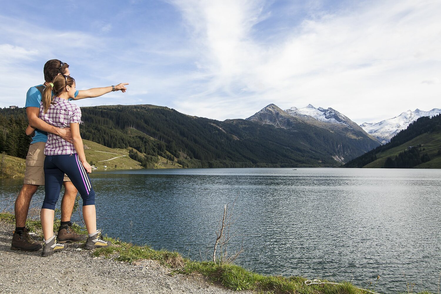
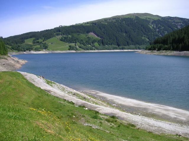
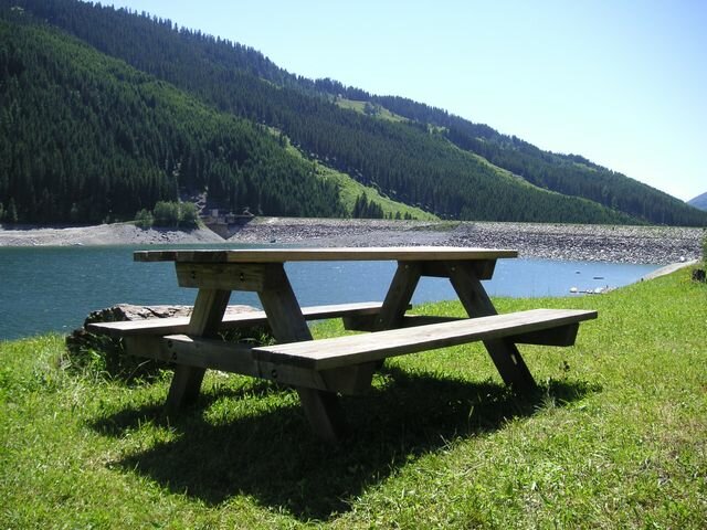
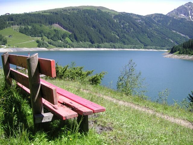
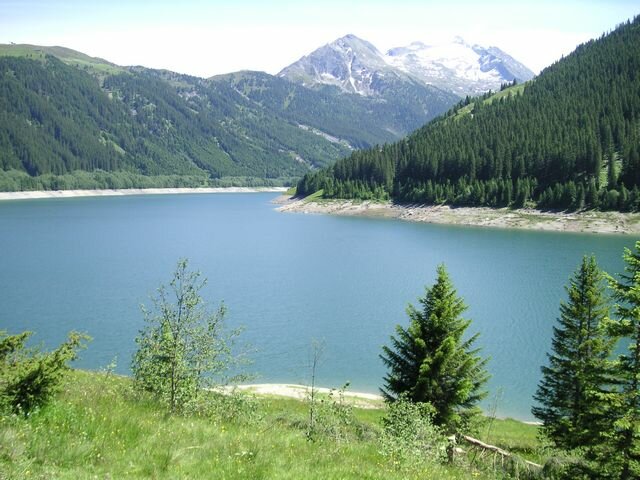
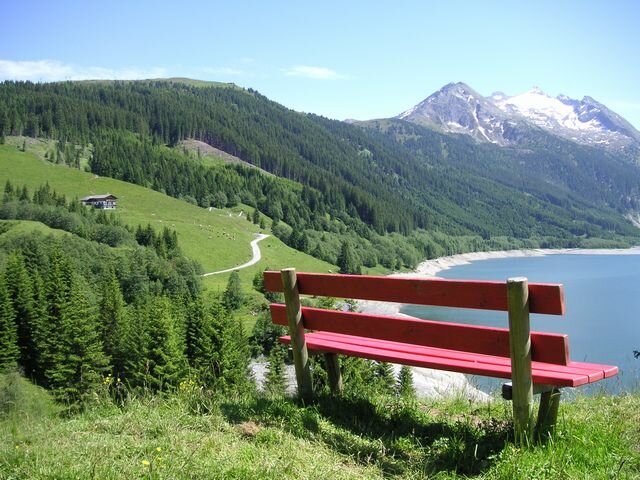
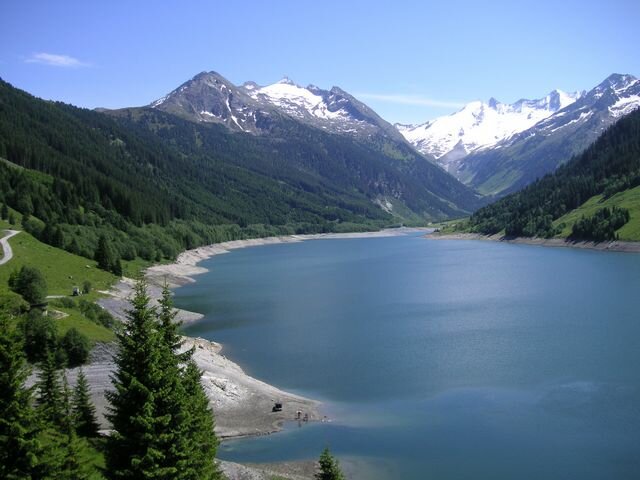
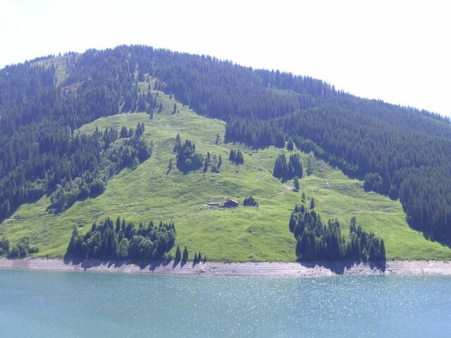
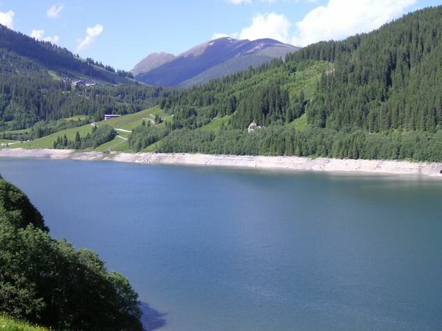
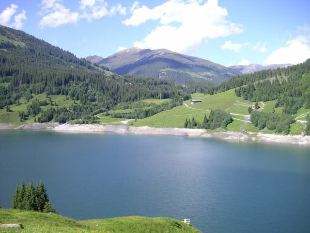
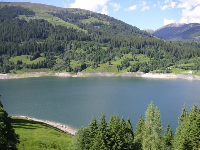
Run around the reservoir


Description
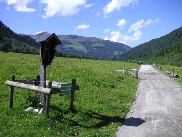
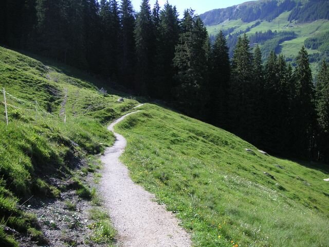
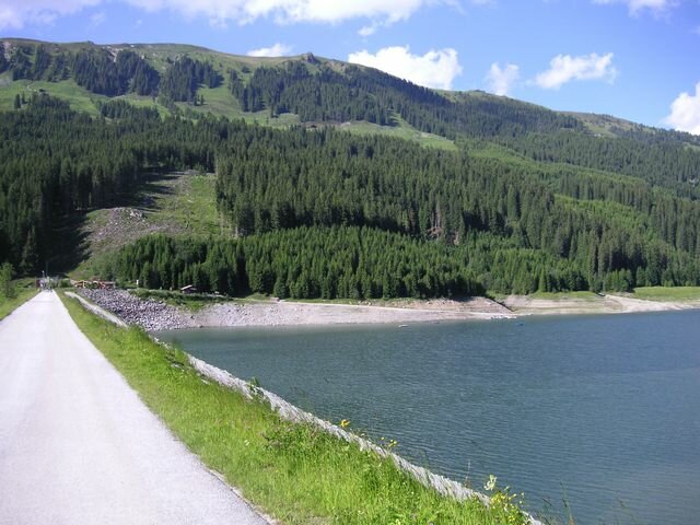
Profile of the route: easy running and Nordic walking route Road surface: gravel, asphalt, forest and meadow paths
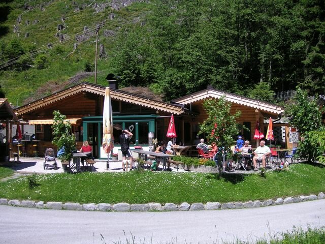
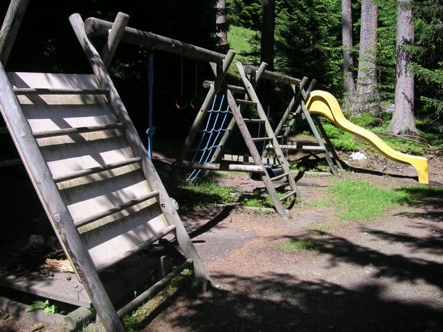
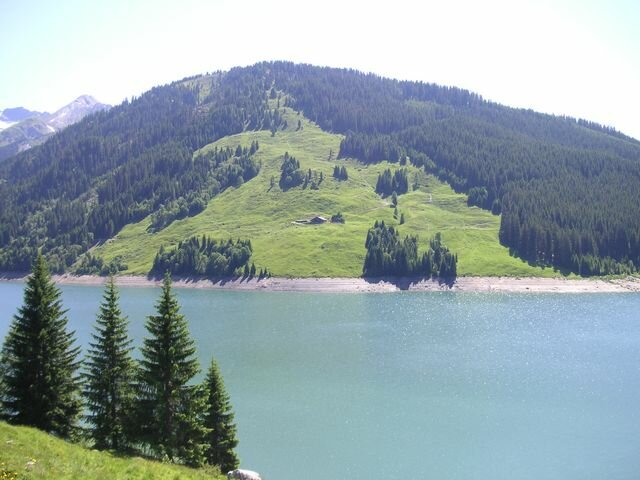
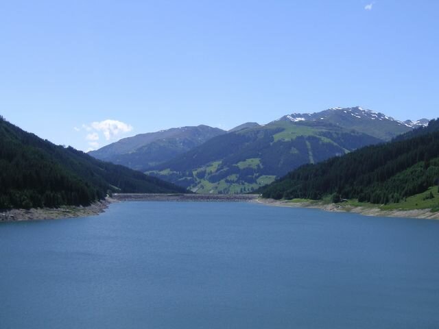
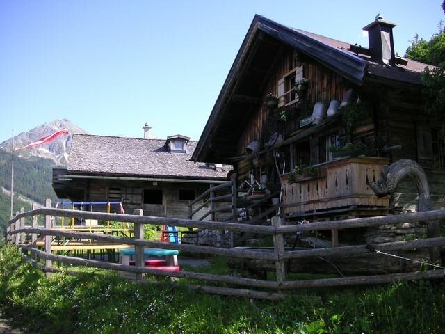
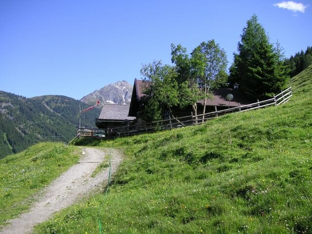
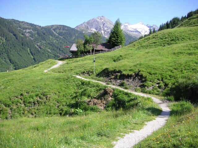
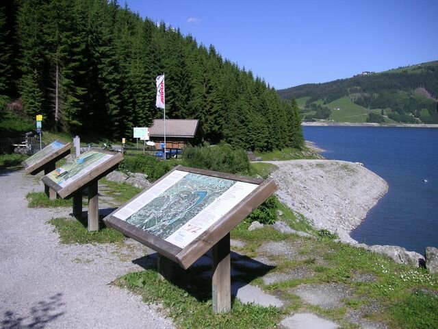
You will start the 3 hour varied trail at the “Seestüberl” (1,400 m) walking along path no. 4 on the north side of the lake. Over green forest and meadow paths, you will reach Larmachbach (bridge) and continue to the Finkau road. Walk along hiking trail no. 540 (attention to car traffic), the asphalted Finkaustraße, and continue until you reach the bridge at Schütthofalm. From here, it is worth taking a detour (of 1,5 km) to the lake Finkau and the Alpengasthof Finkau. Here you can rejuvenate yourself with local specialities, while the children run around in the adventure playground and enjoy the in-house petting zoo. Back at Schütthofalm, the wonderful hiking trail no. 4 leads directly to the Bärschlagalm (1,460 m) and over the crest of the dam back to the starting point.