Select Filter
Filter
Activity
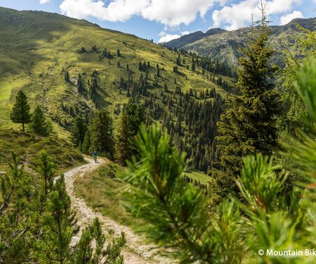
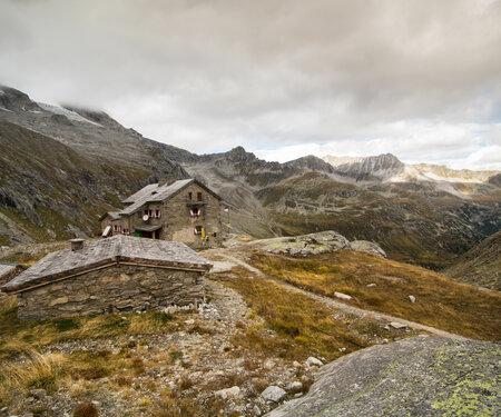
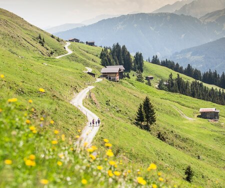
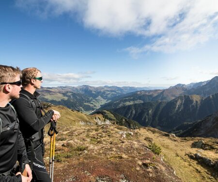
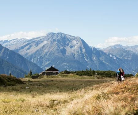
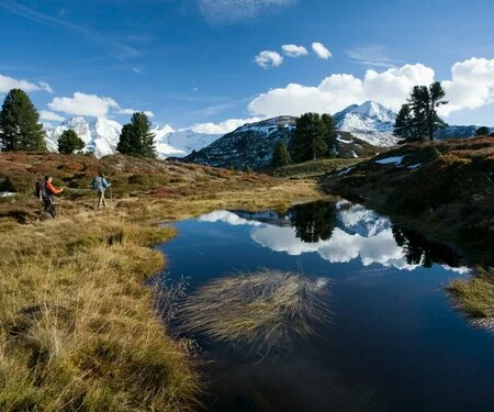
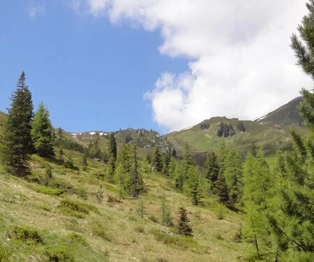
Hiking & mountain tour
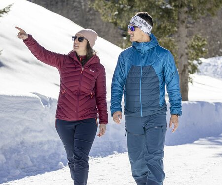
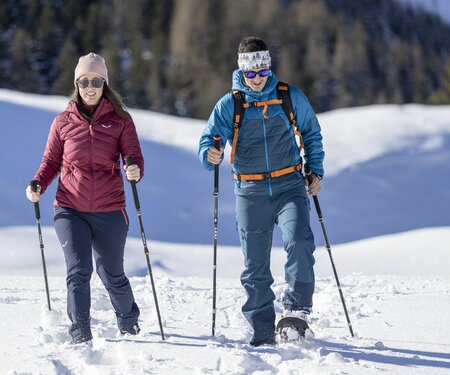
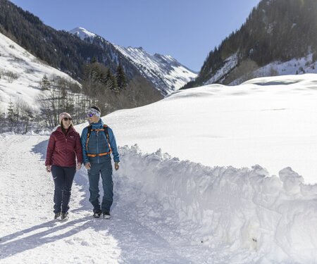
Winter walking
Attraction
Playground
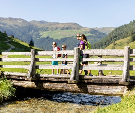
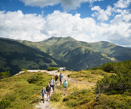
Family friendly routes
Themed walks
Wheelchair-accessible hiking trail
Buggy friendly routes
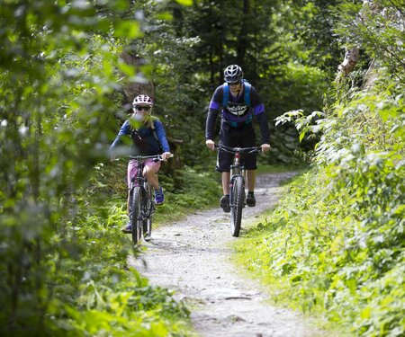
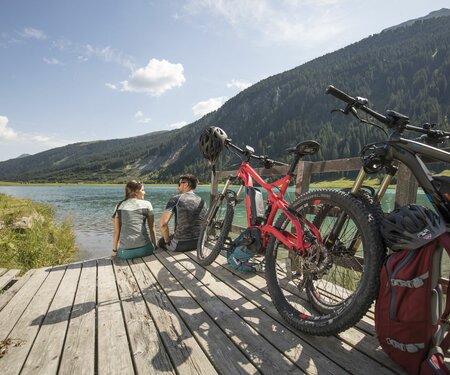
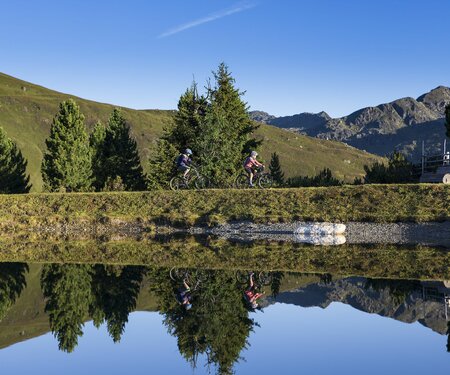
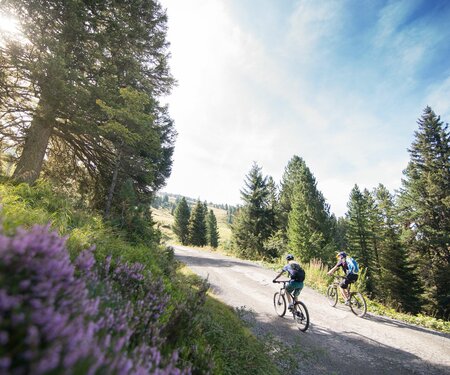
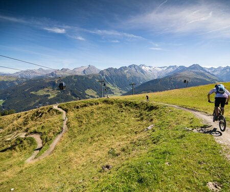
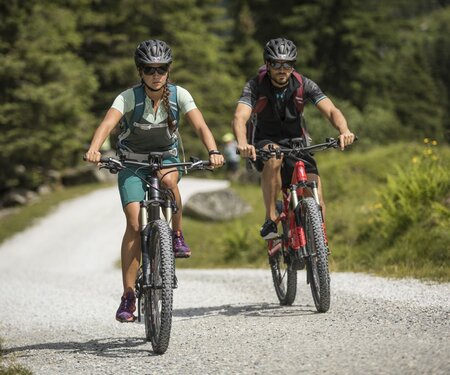
Mountainbike tour
Singletrail
Bike & Hike
Nordic walking
Running tracks
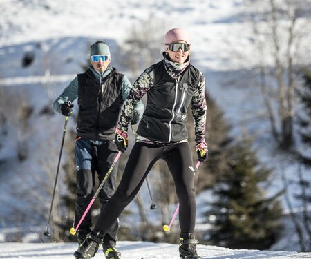
Cross-country ski trail
Tobogganing
Via ferrata
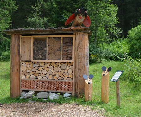
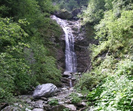
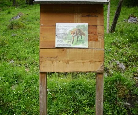
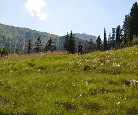
Nature watch route