Wieserwald circular route

Overview

Walking time
02:29 h
Route Length
6.58 km
Difficulty
Middle
altitude meters uphill
421 hm
altitude meters downhill
421 hm
highest point
1281 m
Route Start

Wald train station in Pinzgau

Route End

Starting point

Altitude Profile

Weather

weather today
Sun and clouds
weather tomorrow
Thick clouds, some rain

Description

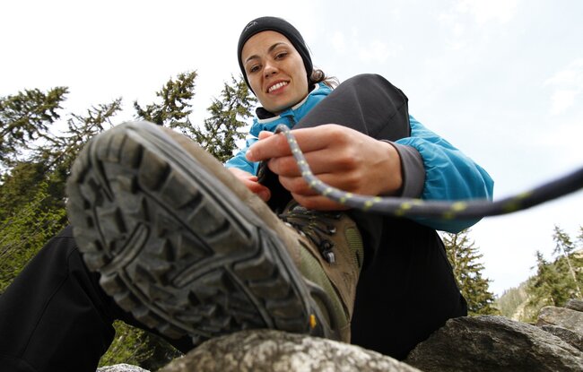
Hiking through forests and meadows
Hiking starting from Wald train station - cross Salzach bridge – right uphill – along the forest road after about 1 1/2 hours steep descent (forest path) to Ghf. Friedburg – from there left back to Wald
Der Inhalt kann nicht angezeigt werden.
Bitte akzeptieren Sie die Cookies, um den Inhalt zu laden.