Spring trail into Salzachtal

Overview

Walking time
03:30 h
Route Length
11.12 km
Difficulty
Middle
altitude meters uphill
840 hm
altitude meters downhill
46 hm
highest point
2237 m
Route Start

Schranken Salzachtal entrance

Route End

Salzach source below the Salzachgeier

Altitude Profile

Weather

weather today
Light snowfall, mostly cloudy
weather tomorrow
Mostly sunny

Description

Welcome to the spring trail in Salzachtal. Explore the origin of the elixir of life, water, which springs from many sources.

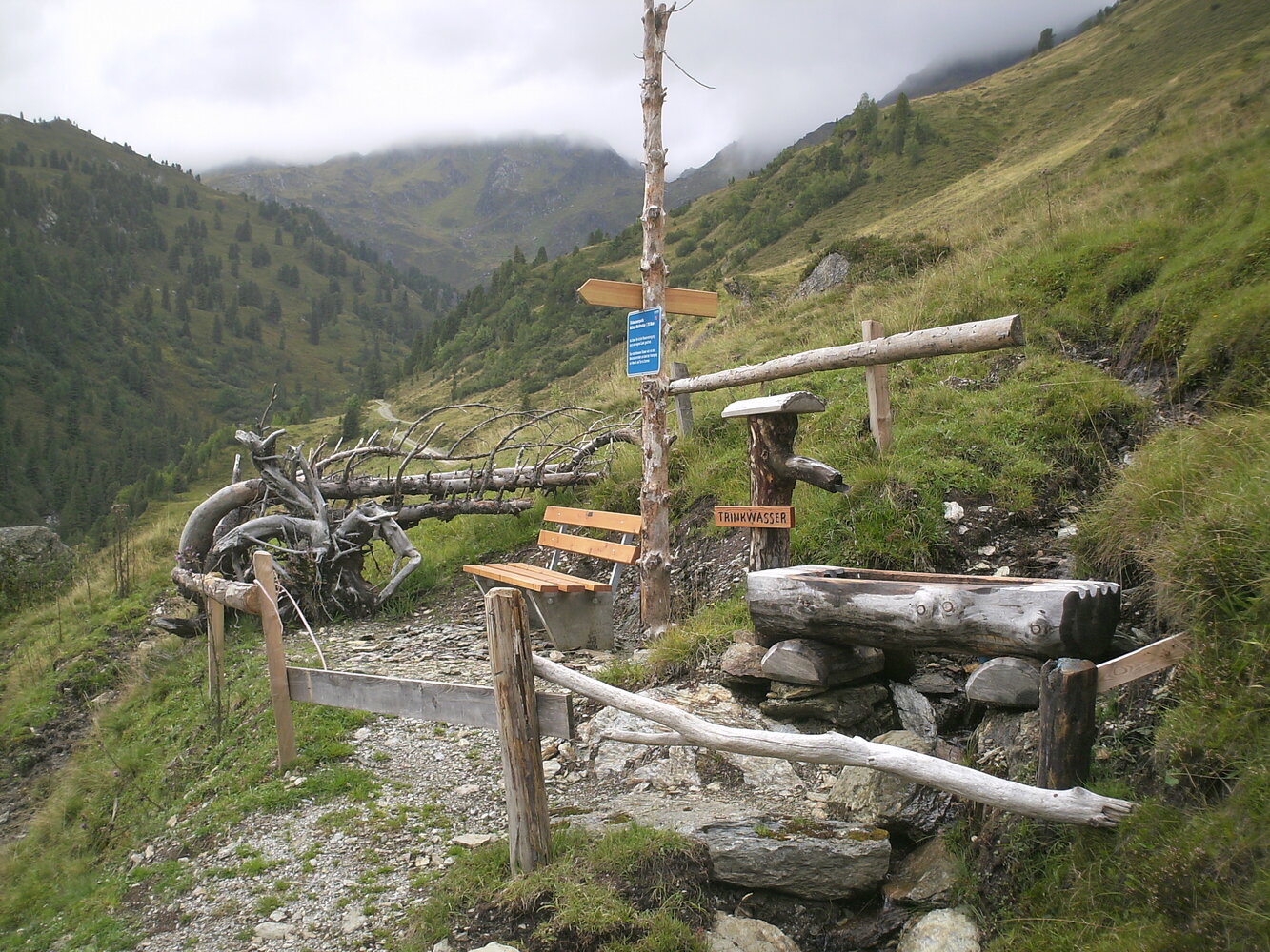
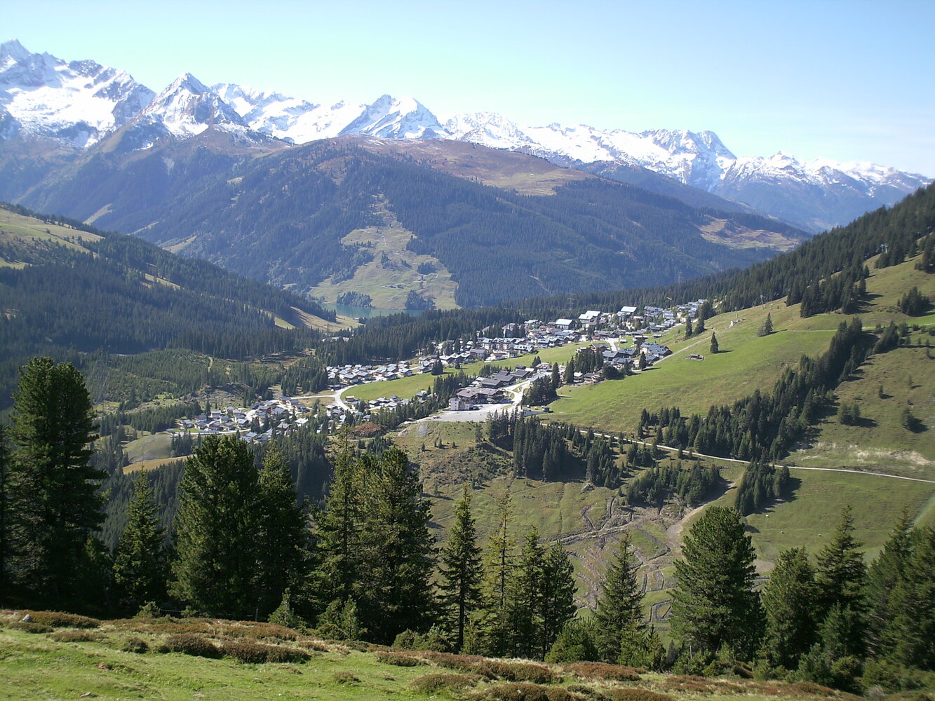
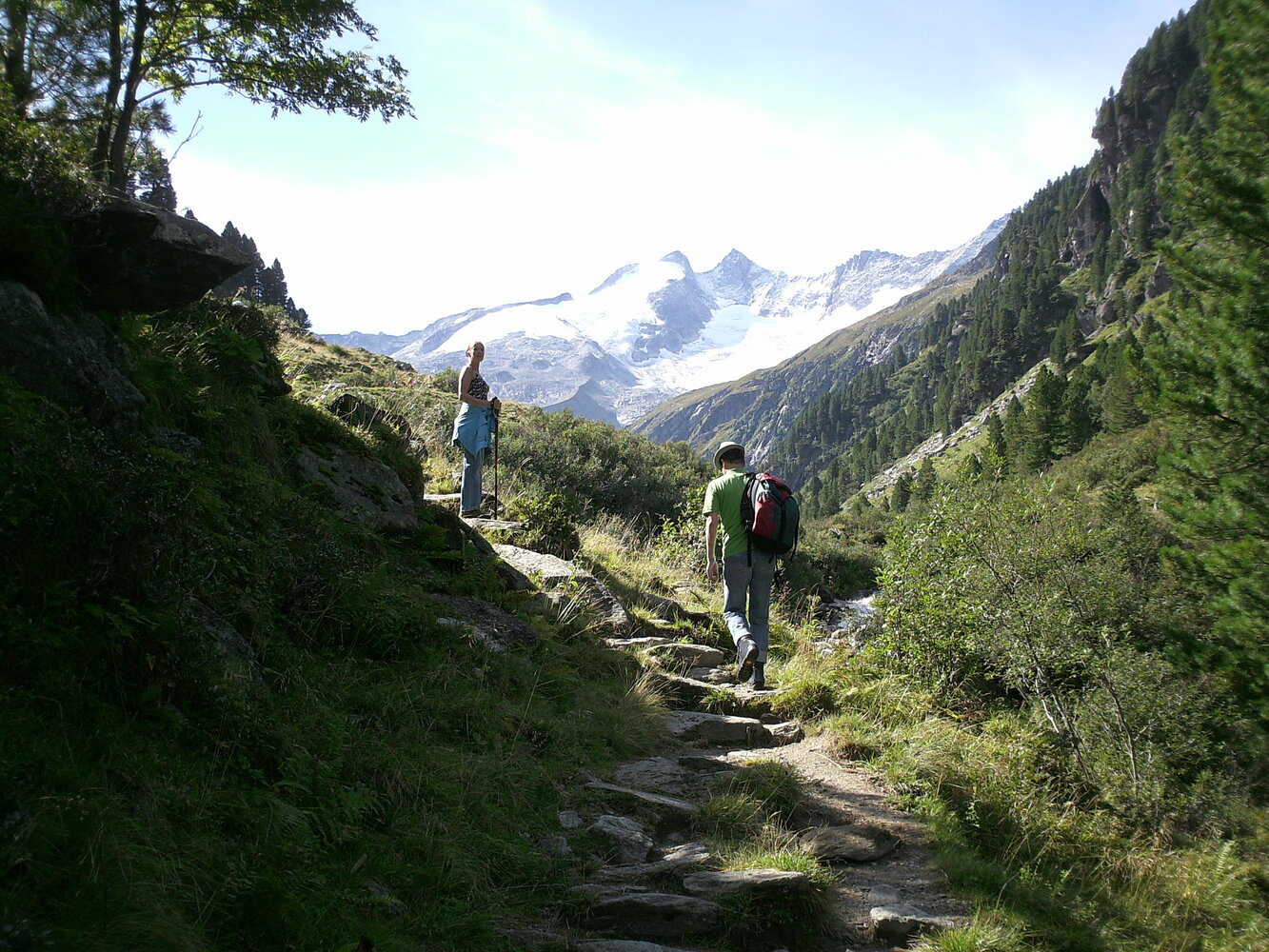
The start is at the Schranken Salzachtal entrance and from there the spring trail leads into the Salzachtal. Along the various stations, the theme of WATER is brought closer to the hiker! Past the Salzach hut to the Salzachalm (1,795 m), the circular route leads to the Mottland-Grundalm and back to the Salzach hut. Further downstream to the entrance to the Salzachtal.
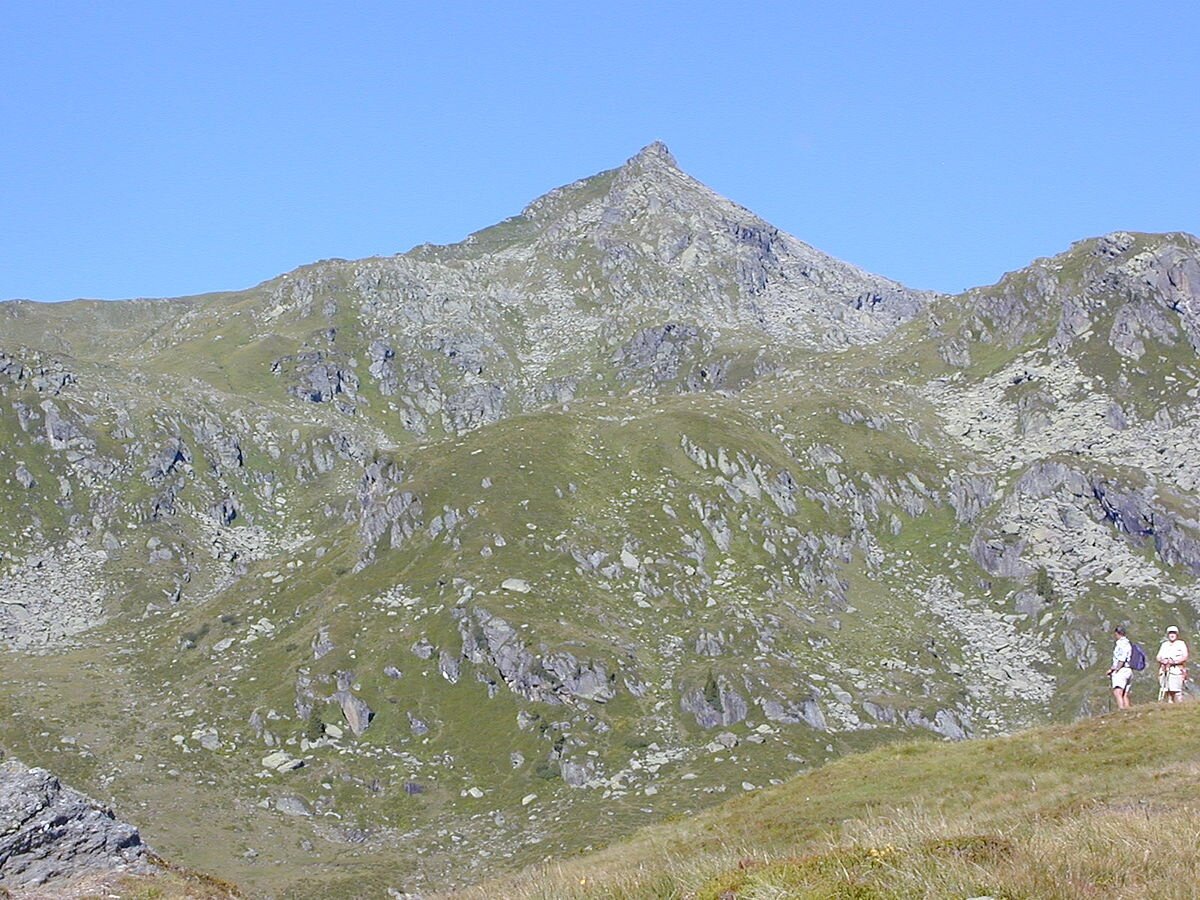
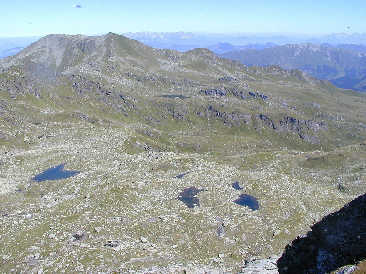
Tip: summit route to the 2,466 meter high Salzachgeier - junction before the Markkirchl (from there approx. 2 hours - difficult route)

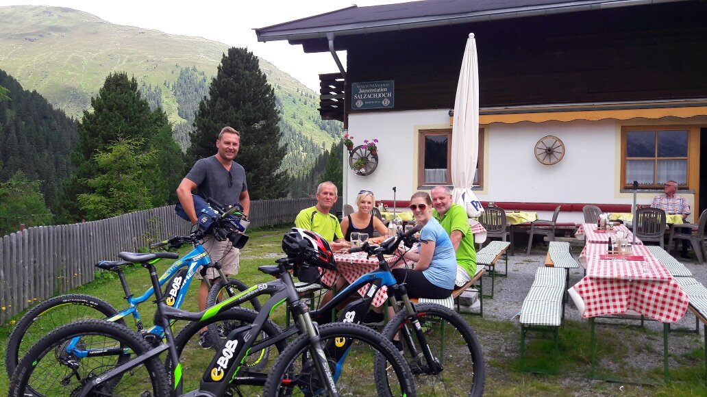
Dining option: Salzach hut

Der Inhalt kann nicht angezeigt werden.
Bitte akzeptieren Sie die Cookies, um den Inhalt zu laden.