Müllachgeier

Overview

Walking time
02:00 h
Route Length
6.14 km
Difficulty
Middle
altitude meters uphill
41 hm
altitude meters downhill
848 hm
highest point
2315 m
Route Start

Königsleiten village cable car valley station

Route End

Königsleiten

Altitude Profile

Weather

weather today
Light snowfall, mostly cloudy
weather tomorrow
Mostly sunny

Description

A demanding route with a wonderful panorama! The Königsleiten village cable car takes you up to the summit station and makes the ascent easier.

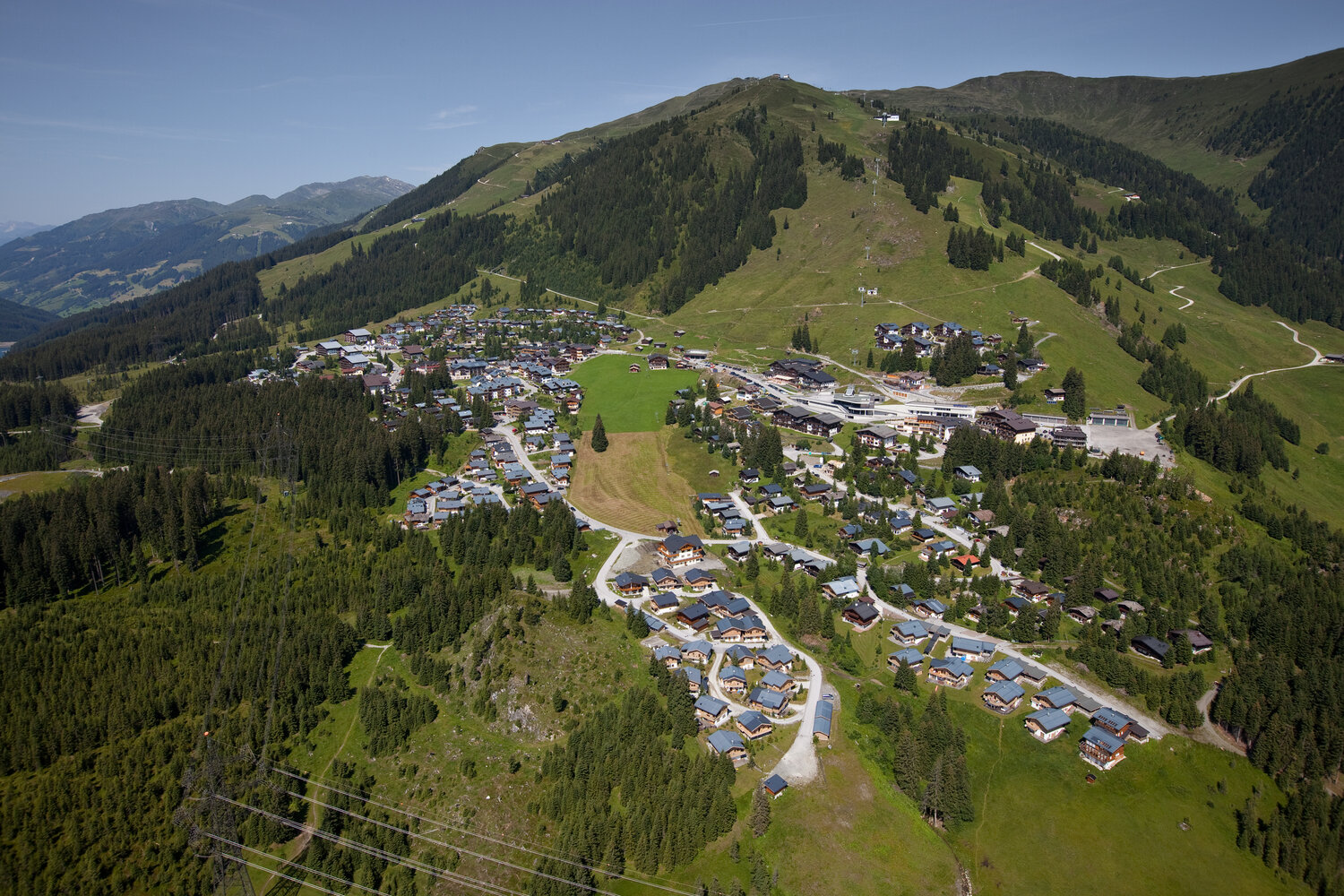
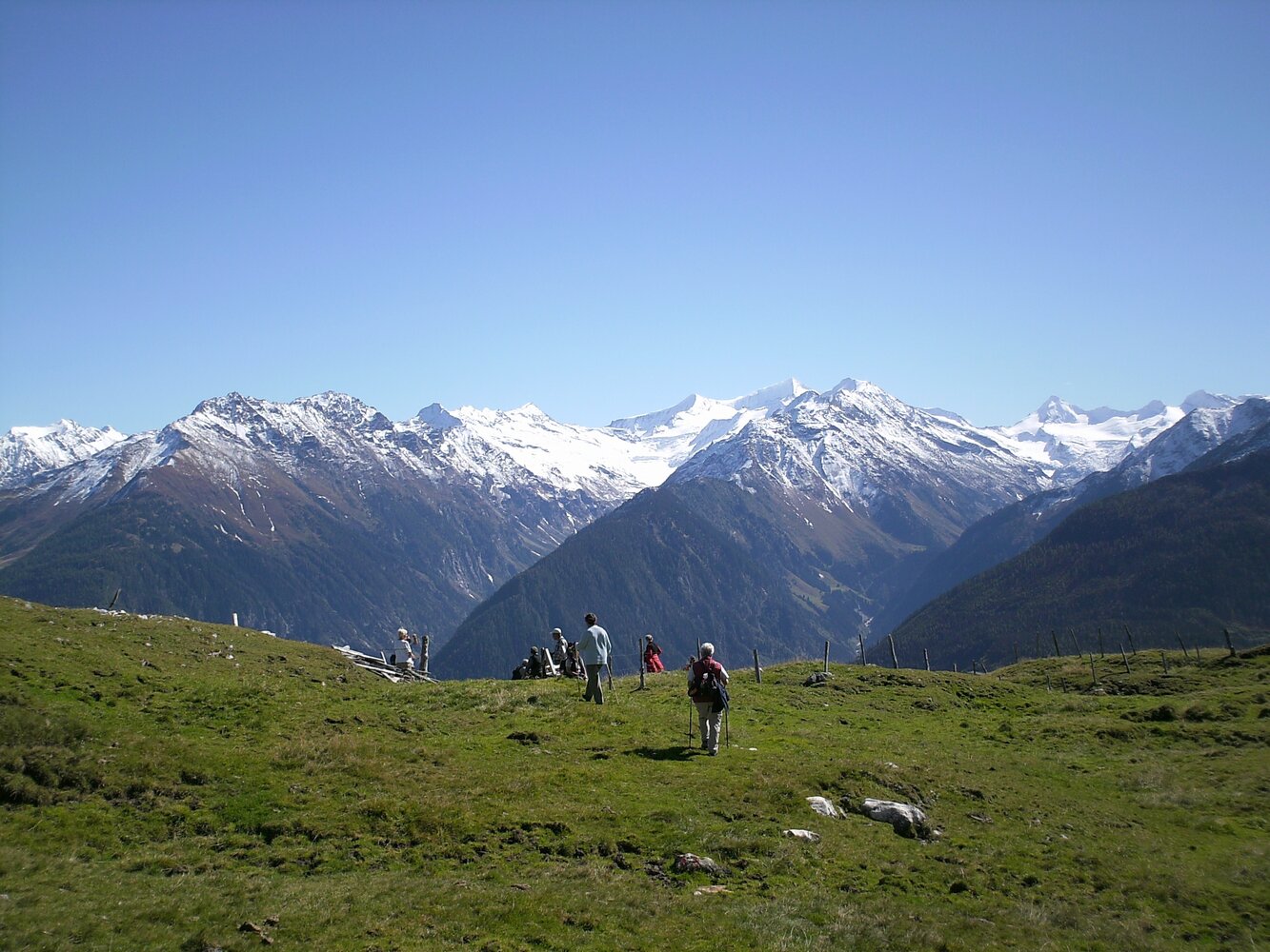
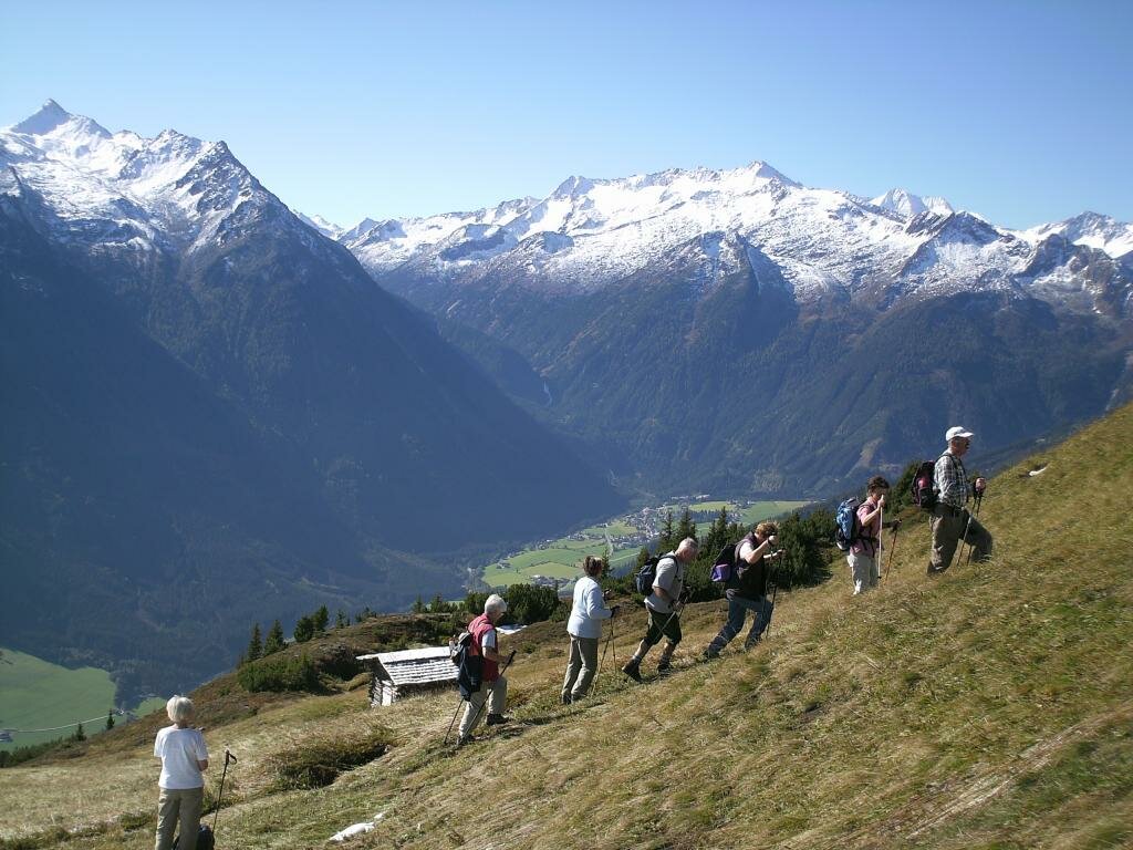
Path No. 62, from the valley station of the cable car it's over the ridge to Müllachgeier (2,254 m) where you can enjoy the lovely view of the High Tauern and Zillertal Alps! Then on to Brucheck-Hochalm, from here you follow a trail to Brucheck-Mitterleger – then back along a good path to the alpine village Königsleiten.


Refreshment opportunity: mountain restaurant Gipfeltreffen


Der Inhalt kann nicht angezeigt werden.
Bitte akzeptieren Sie die Cookies, um den Inhalt zu laden.