
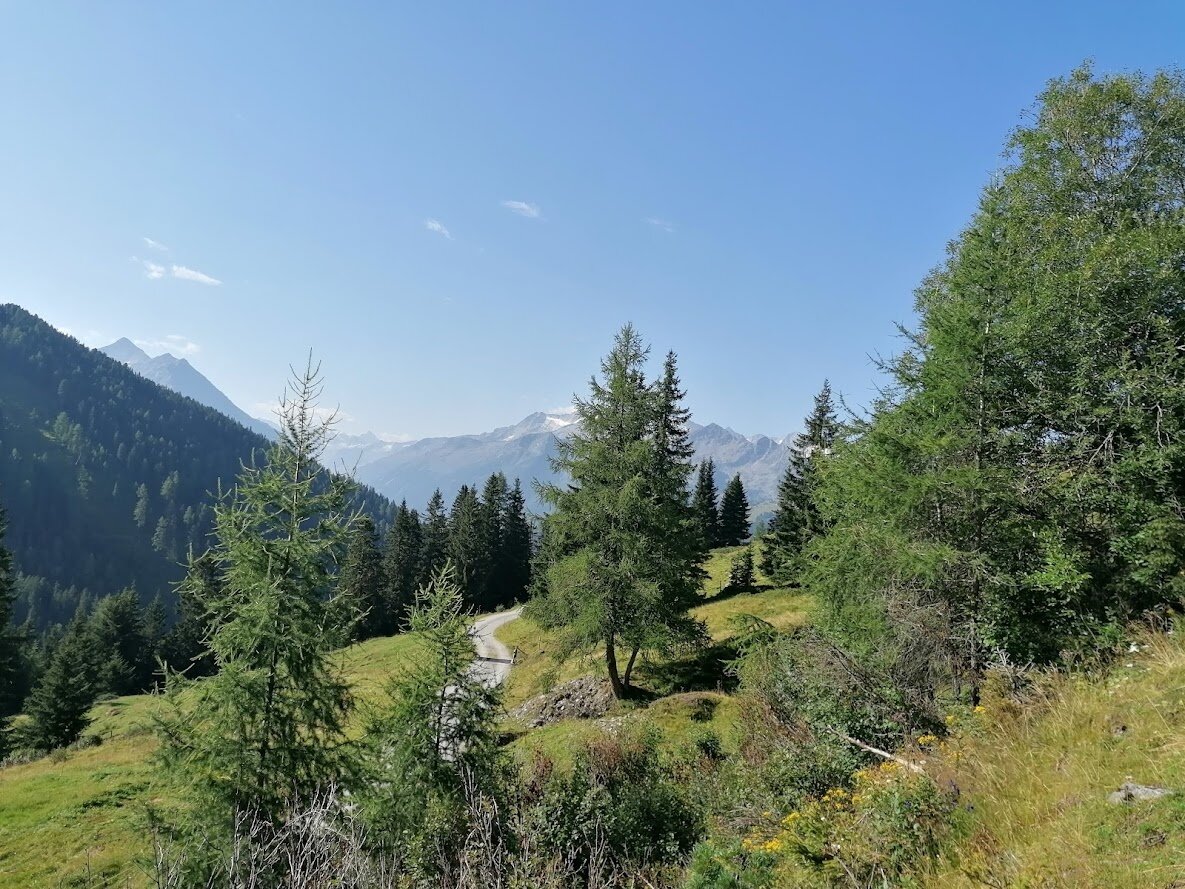
In the center of Wald at the church, turn onto the B 165, along the old Gerlos road for about 3 km to the Ronach Mountain Hotel. Then turn right into the Nadernachtal, through a forest to the Hieburgalm. A great bike route via the Watschalm and Bacheralm in the midst of the Pinzgau grass mountains – pure nature! Return to Wald along the same route. Bike trail no. 2F
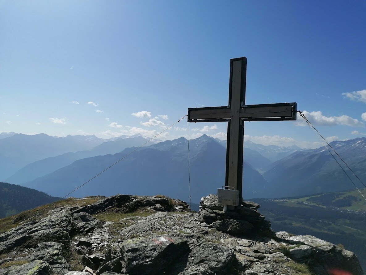
HIKE TIP Ronachgeier: From the rustic Putz- and Prielalm, hike along the marked trail for about 1.5 hours to Ronachgeier and enjoy the magnificent panorama!