Run around the 2 reservoires

Overview

Route Length
13.2 km
altitude meters uphill
116 hm
altitude meters downhill
116 hm
highest point
1460 m
Stamina
Skills
Route Start

Seestüberl (1400m)

Route End

Seestüberl (1400m)

Altitude Profile

Weather

weather today
Compact clouds with no sun
weather tomorrow
Sun, clouds, rain showers

Description

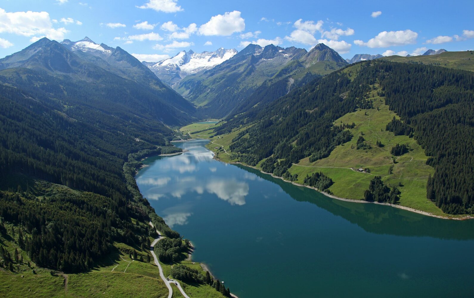
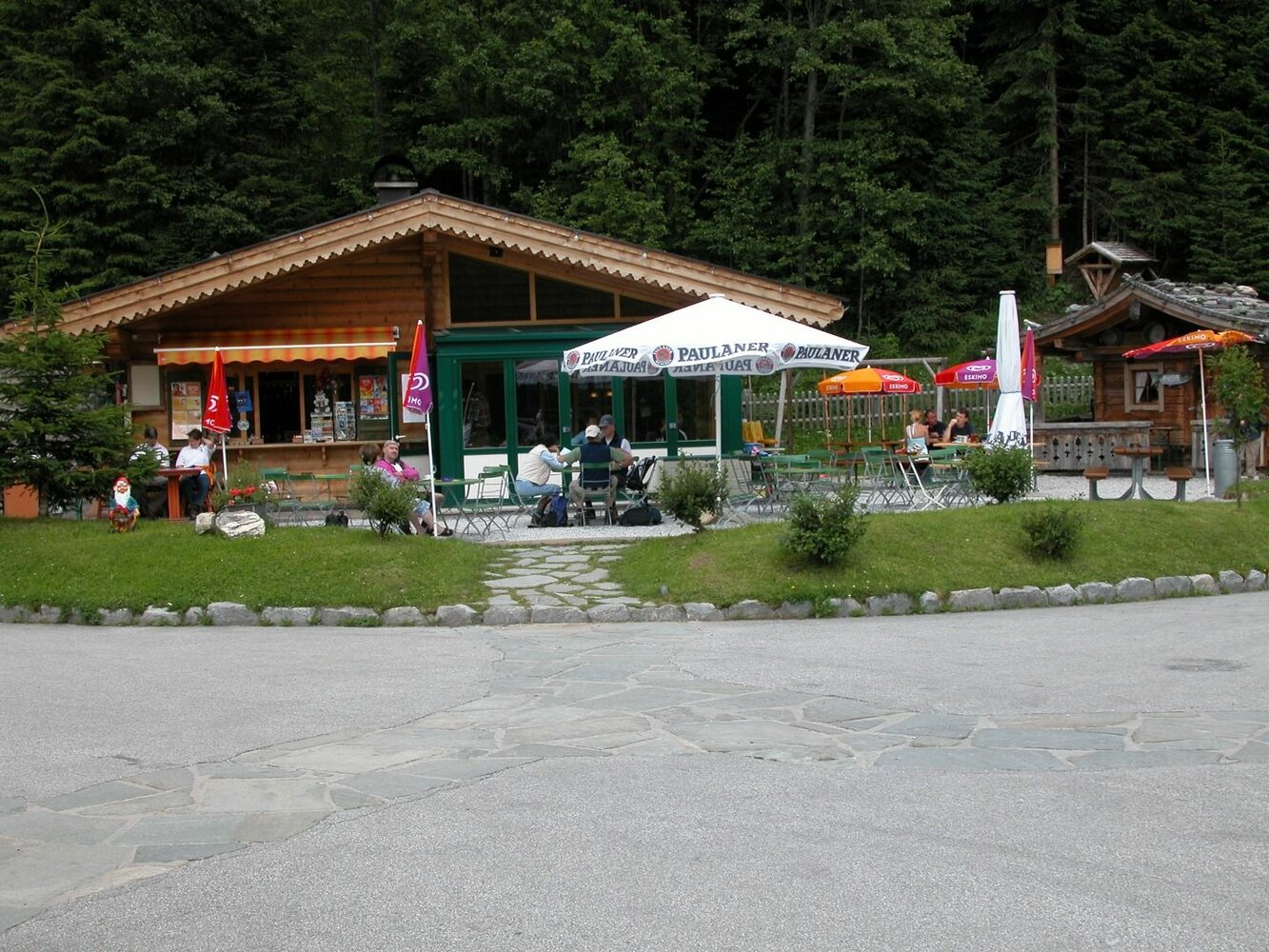
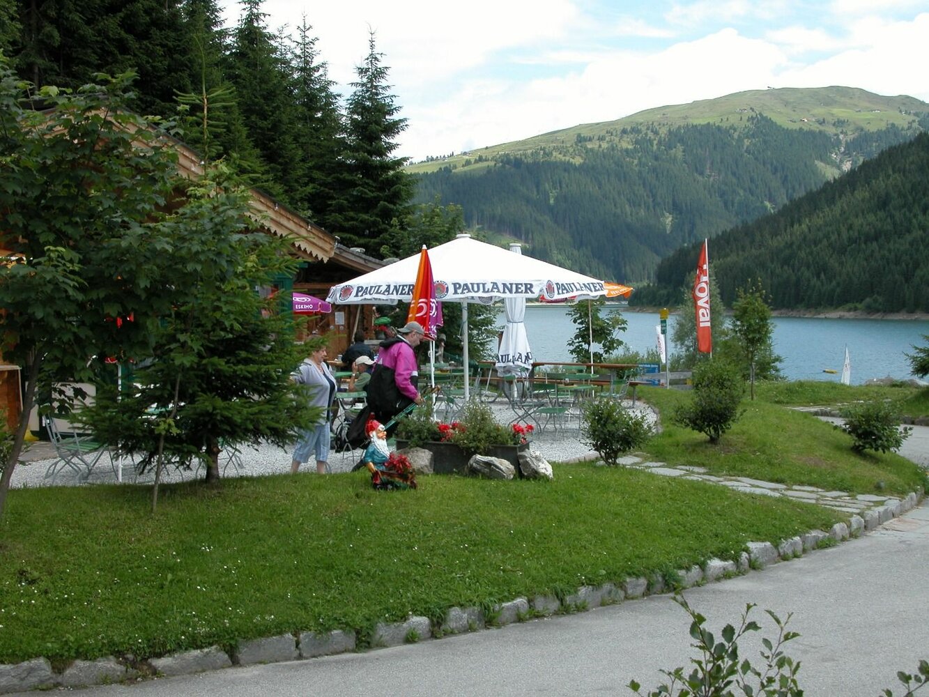
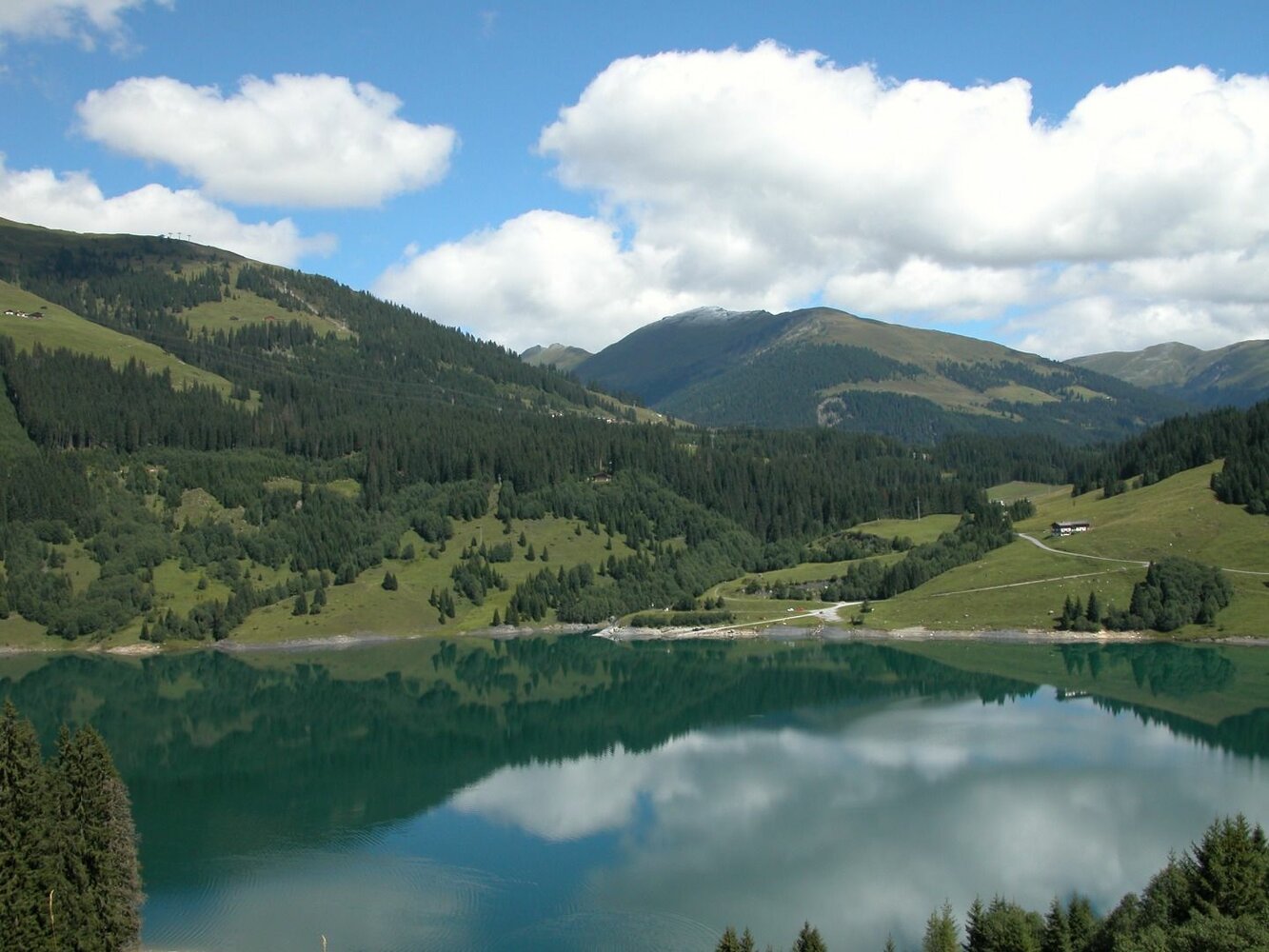
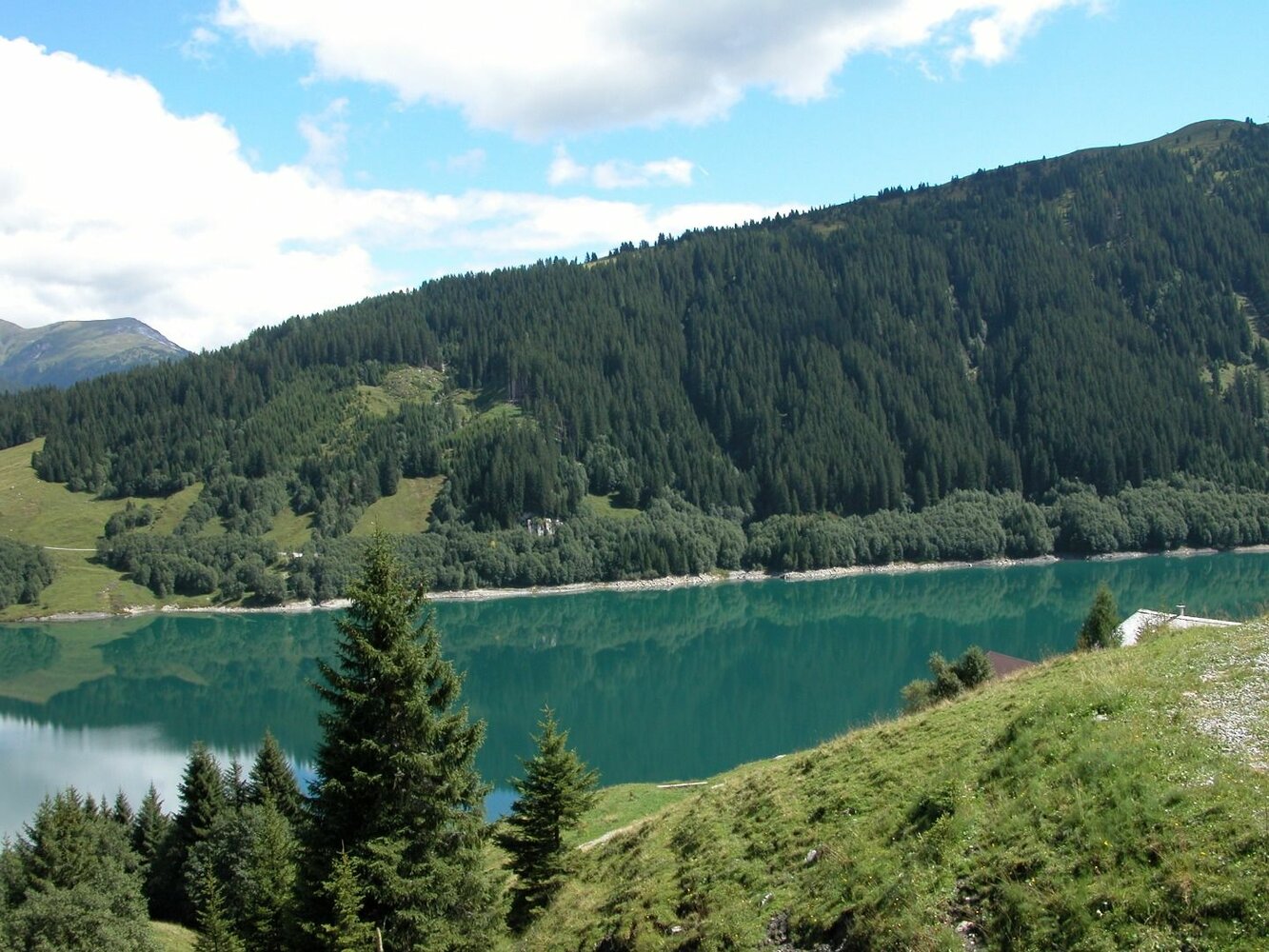
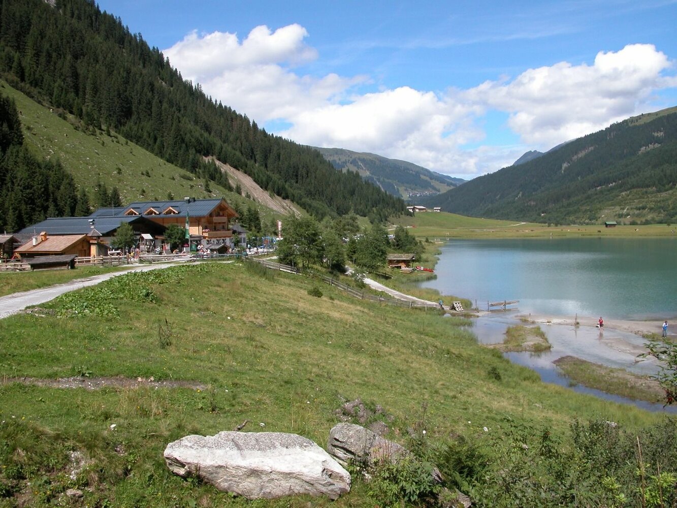
From the Seestüberl you start on the north side (left side of the lake) of the reservoir via forest and meadow paths to Finkaustrasse. We continue along the asphalted road to the Alpengasthof Finkau. After circling the Finkausee, we go back to the bridge at the Schütthofalm. From there back towards the start along the lake, past the alpine pastures and at the end over the top of the dam.


.

Der Inhalt kann nicht angezeigt werden.
Bitte akzeptieren Sie die Cookies, um den Inhalt zu laden.