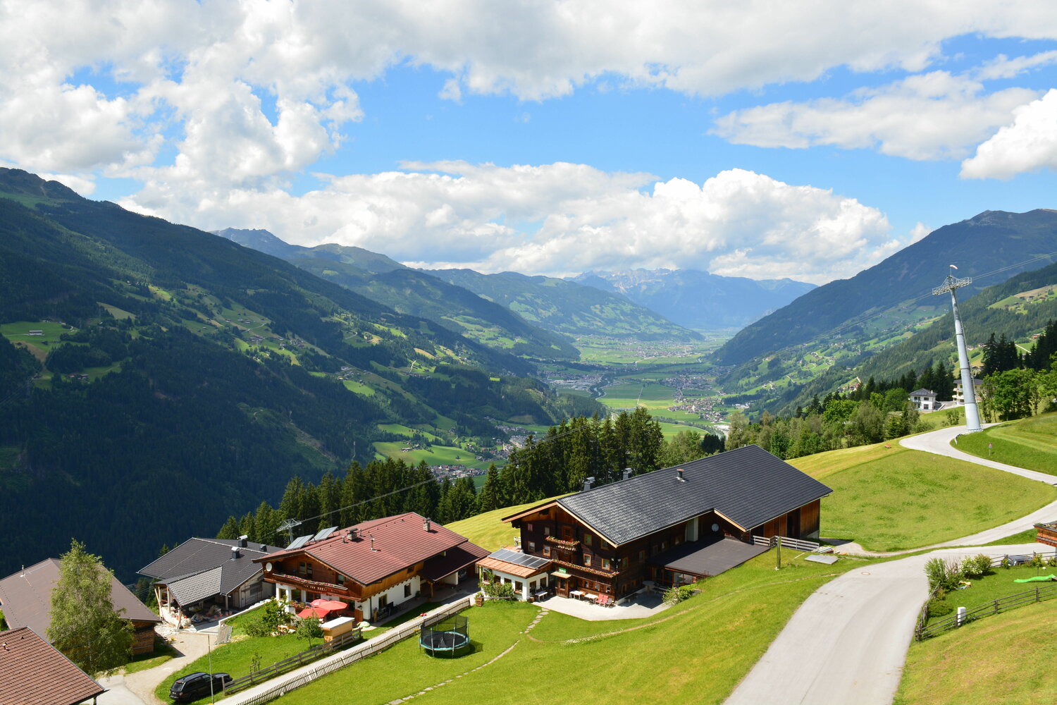
To warm up, cycle through the village centre of Zell towards the Gerlosberg mountain and after the Gerlosberg/Rohrberg bridge you can start really using your muscles. During the steep ascent, there's only one section - a flat, 500 m long stretch near the Grindlalm - that offers you a breather. At the Wiesenalm hut, the road surface changes from tarmac to gravel and after around 4 km you come to one of the most picturesque pasture landscapes in the Zillertal valley complete with a breathtaking view of the foothills of the Tux Alps. After the strenuous ascent, you're rewarded with a fantastic descent down the Gerlosberg mountain.