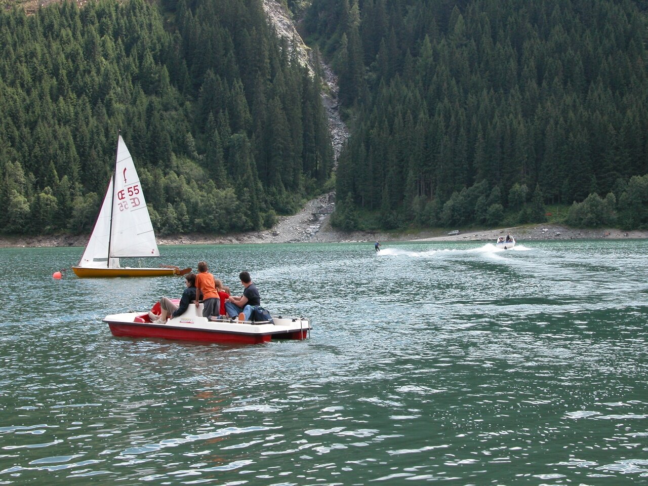
Durlaßboden reservoir
Description
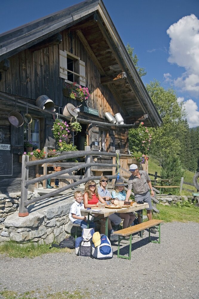
Circular hike around the Durlaßboden reservoir
Start at the Sonnwendkopfbahn car park - Bräueralm - right towards Seestüberl - dam - Bärschlagalm - circular route back to the starting point