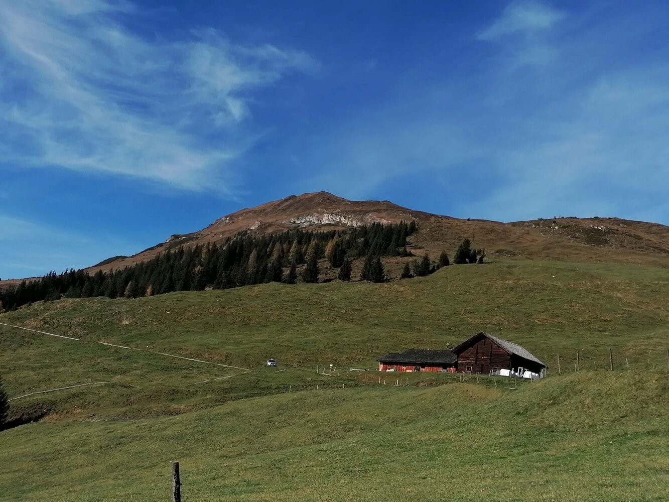
In the center of Wald, turn off at the church onto the B 165 onto the old Gerlos road. From there along the road to the bridge in front of the Mühlbauer - turn right here and continue to the farm "Hoched." Along the forest road through a forest, you ride to the Wurfalm and further to the Happingalm - the alpine pasture area at Gernkogel is a wonderful spot due to its diverse flora!
Mountain bike route No. 2E
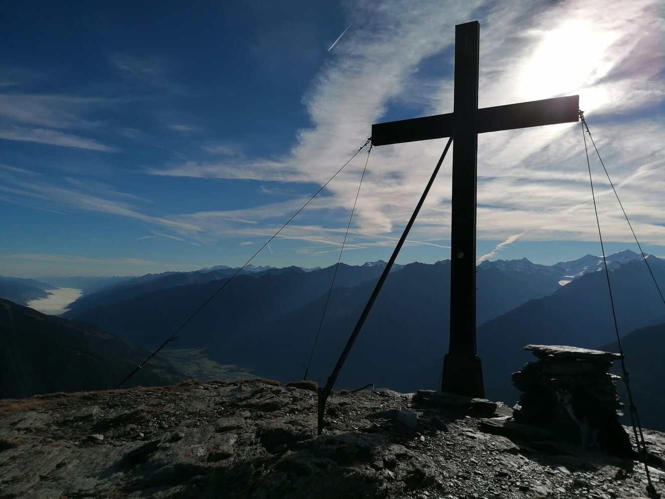
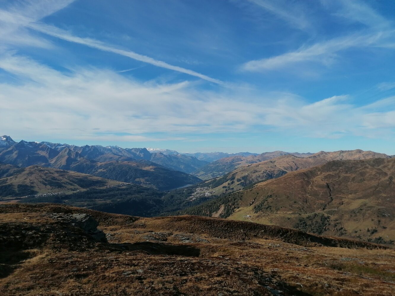
HIKE TIP: On foot, you hike about 1.5 hours over lush alpine and mountain meadows to the summit of Gernkogel with a magnificent panoramic view of the mountain world!