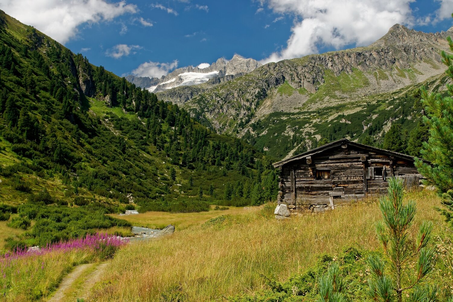
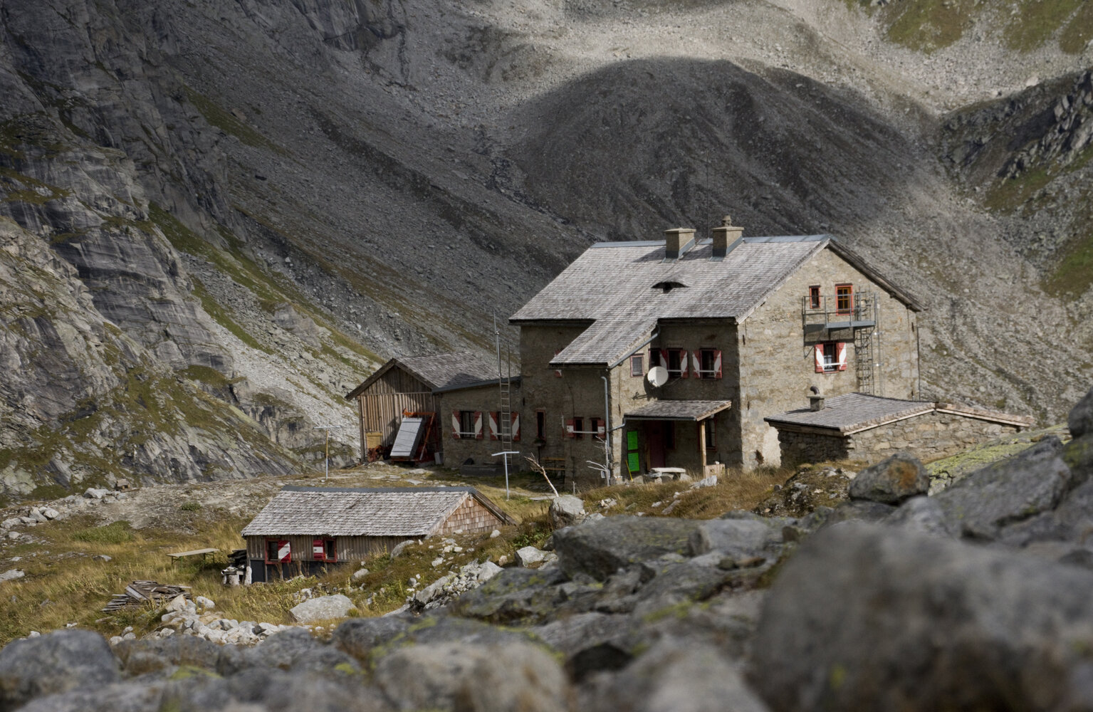
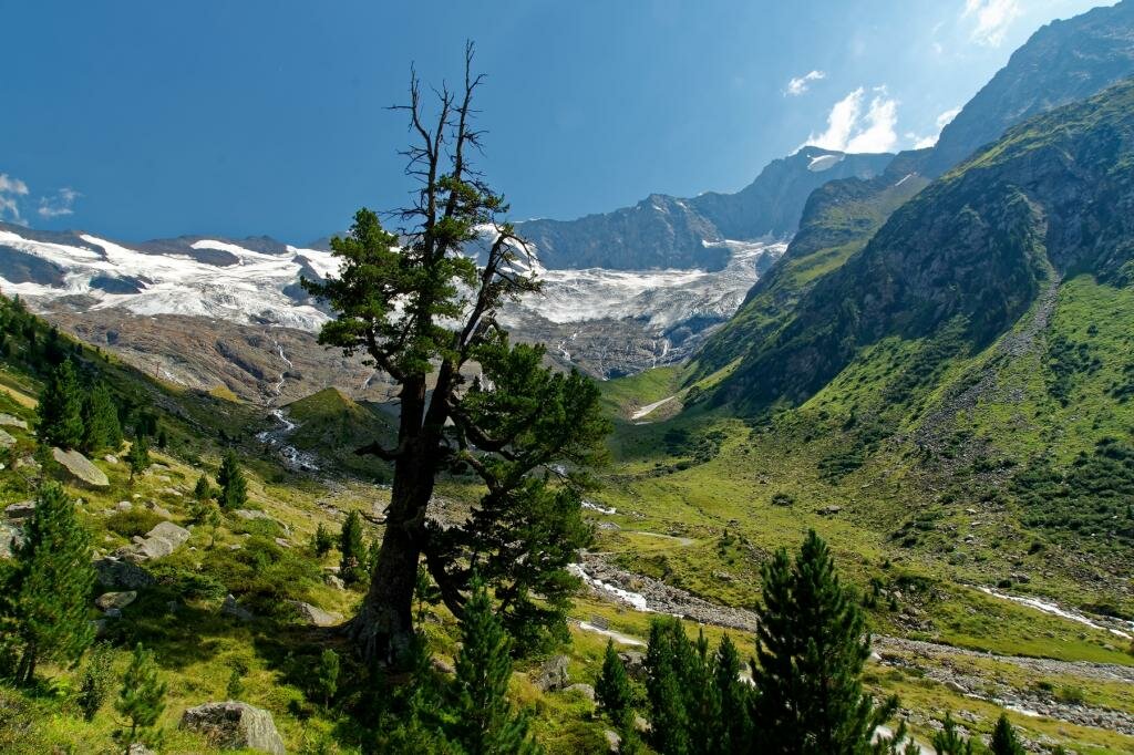
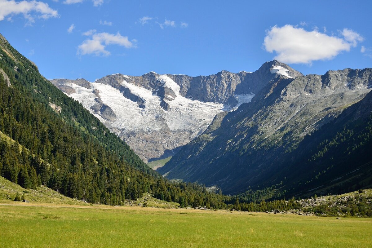
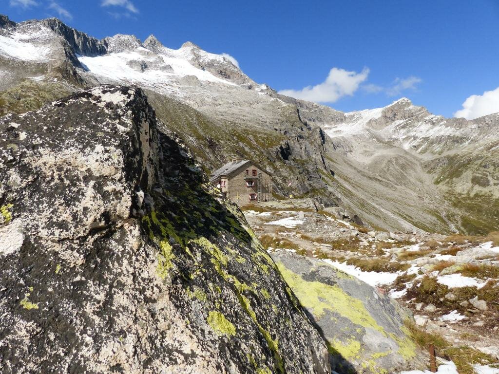
From the Krimmler Tauernhaus, turn right into a side valley, the Rainbachtal. Passing the Rainbachfall, you hike through a quaint Swiss pine forest. The Rainbachtal is a very natural valley, also strongly shaped by the glacier. Always following the Rainbach, you soon reach the forest border and continue hiking to the valley end. At the valley station of the material cable car comes the last steeper ascent to the Richter Hut.
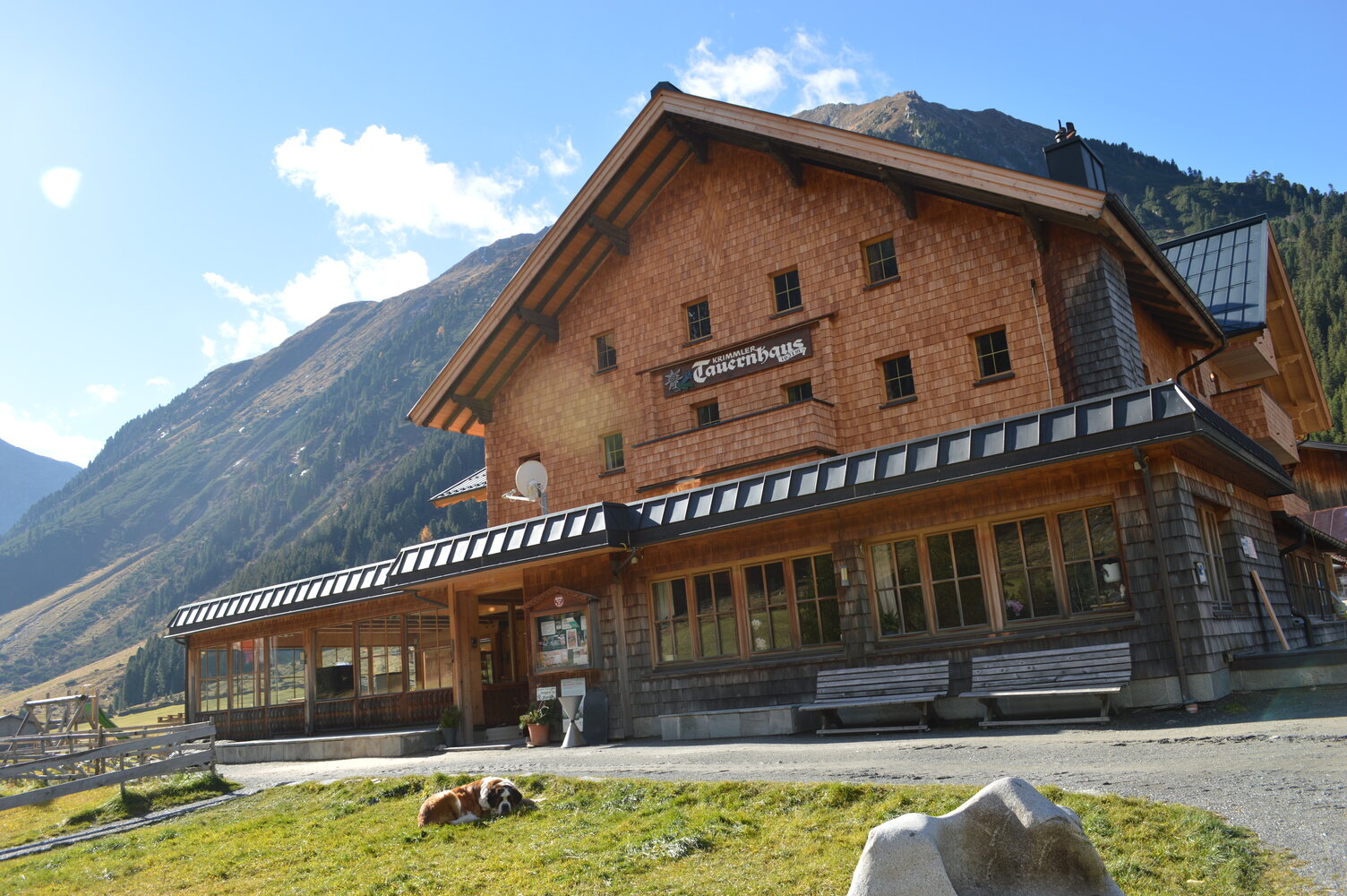
Krimmler Tauernhaus - Richter Hut
Description
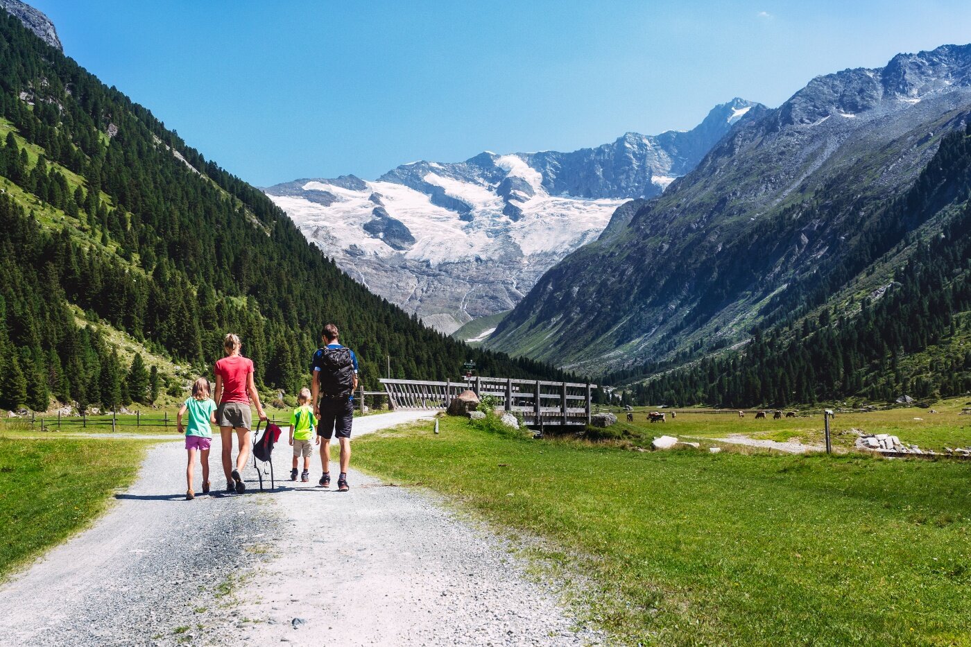
Starting from the historic Krimmler Tauernhaus to the cozy Richter Hut in the middle of the Reichenspitz group.