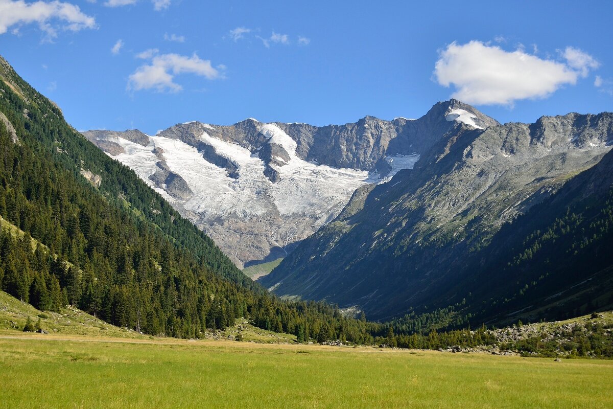
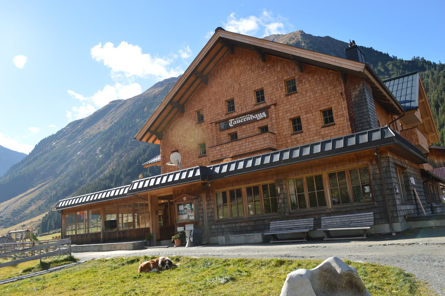
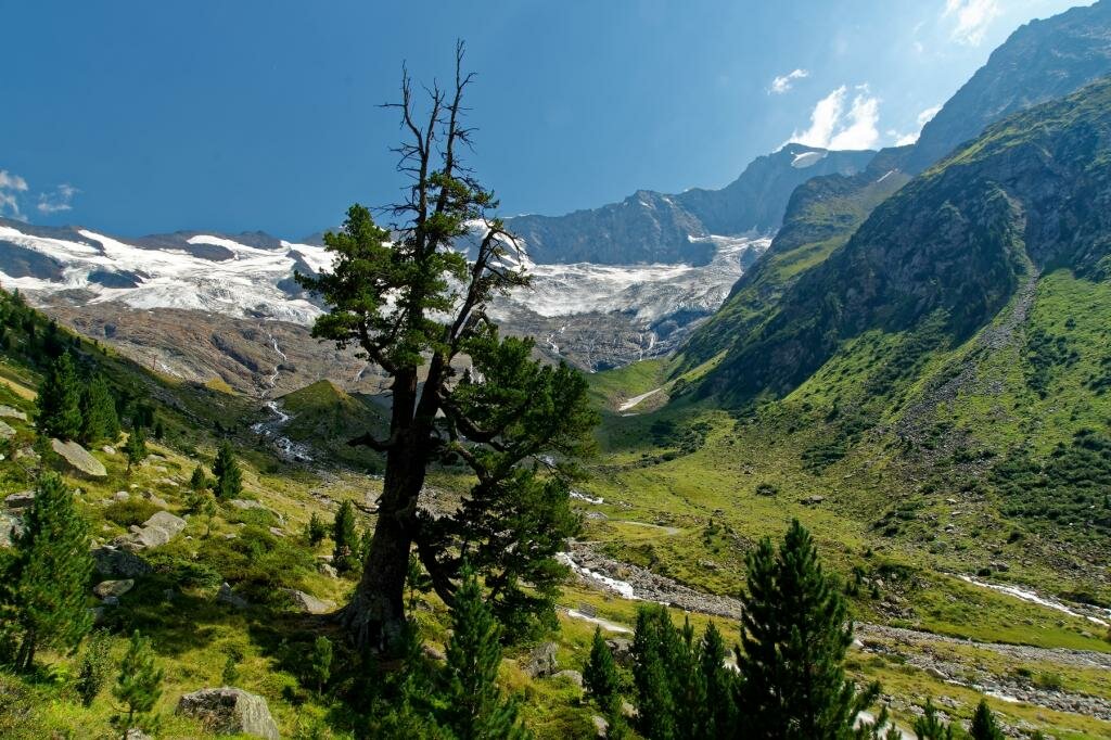
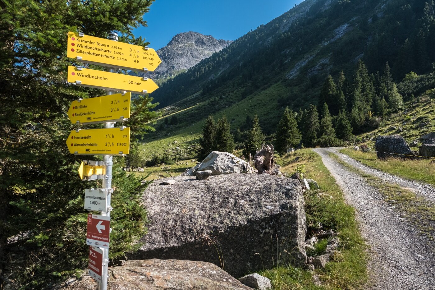
From the Krimmler Tauernhaus you hike to the end of the valley of the Krimmler Achental. On this path you pass several alpine pastures. Directly at the Innerkeesalm, the hiking trail to Birnlücke branches off to the right, where you cross the Krimmler Ache in the area of the pasture. Then you climb up a steep section in switchbacks and continue over the grassy slopes to Birnlücke. Here is the Austrian-Italian state border. If you descend on the south side for about 45 minutes, you reach the Birnlücken Hut, which offers a good place to stop for refreshments. From there, you continue on the Lausitzerweg heading west, staying at about the same elevation. On this path, there is a short section where you descend steeply via rope-secured stairs - the so-called Devil's Staircase. Shortly before the Krimmler Tauern, you pass an Italian customs hut, the Neugersdorfer Hut. From the Krimmler Tauern onwards, you are back on Austrian territory. You descend via the Tauernleiten into the Windbachtal. In the area of the Außerunlaß Alm, you come back onto the wide alpine pasture road that leads back to the Tauernhaus.
Krimmler Tauernhaus - Birnlücke - Krimmler Tauern (circular route)

Description
The circular route with history - hiking along the border of Austria and South Tyrol.