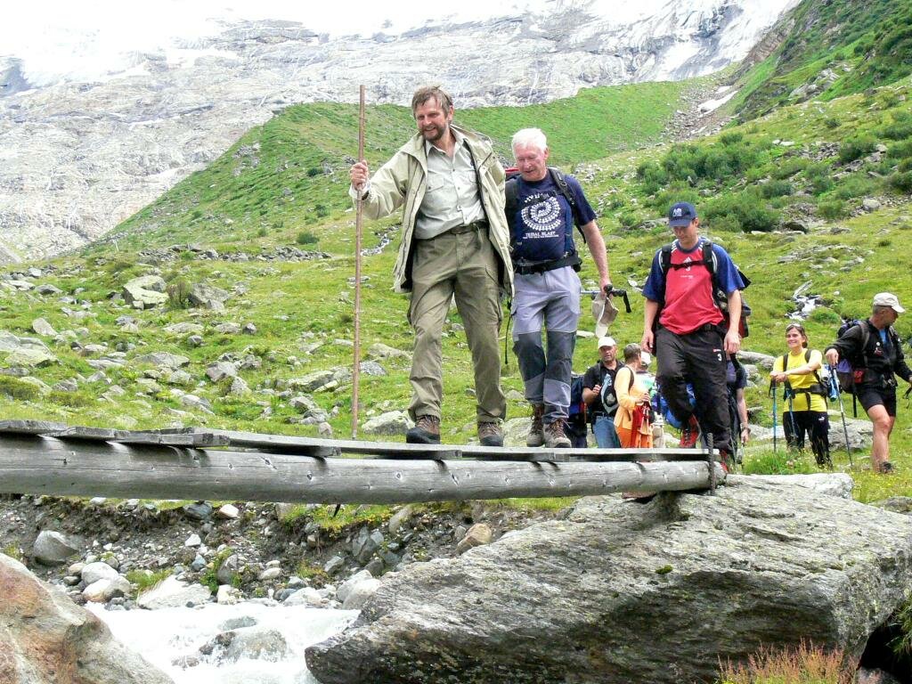
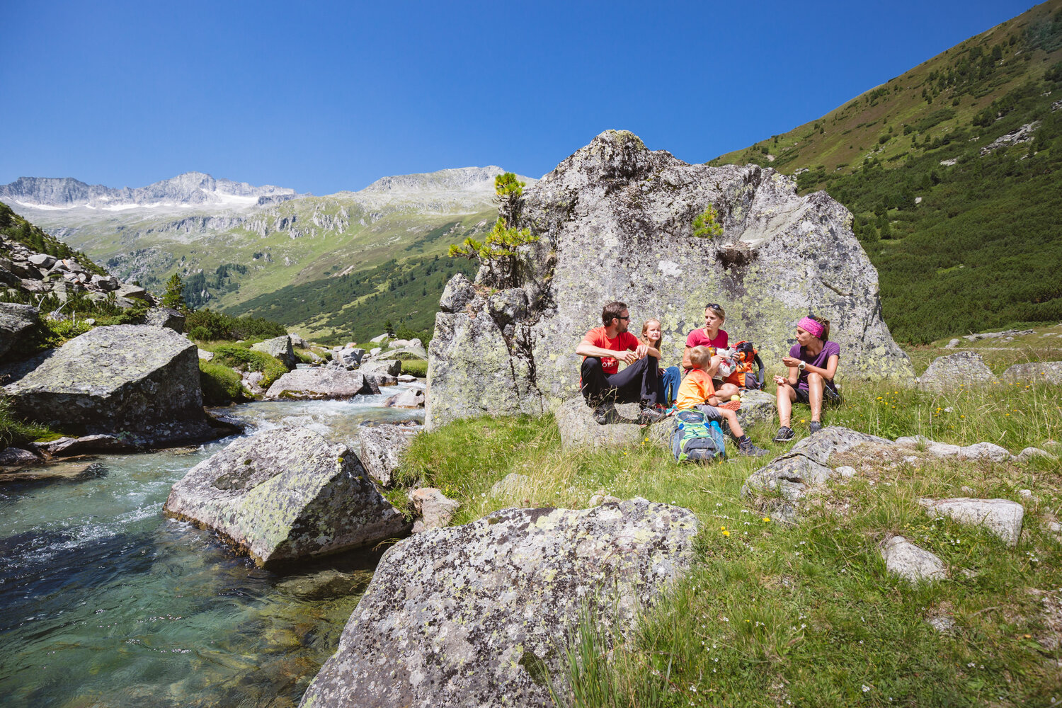
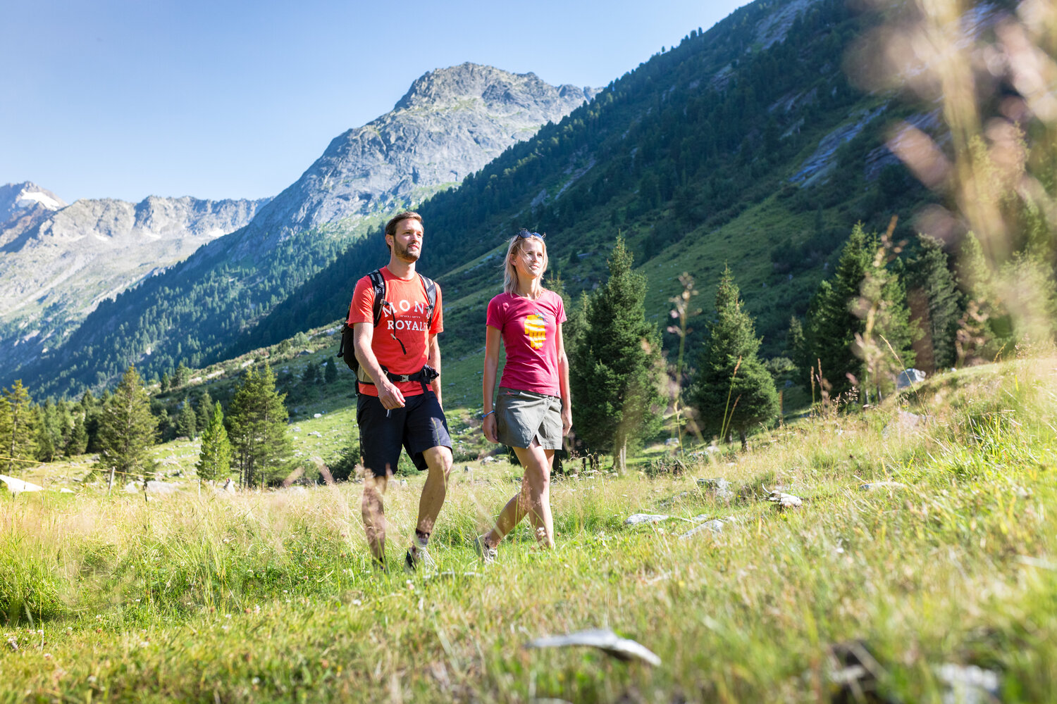
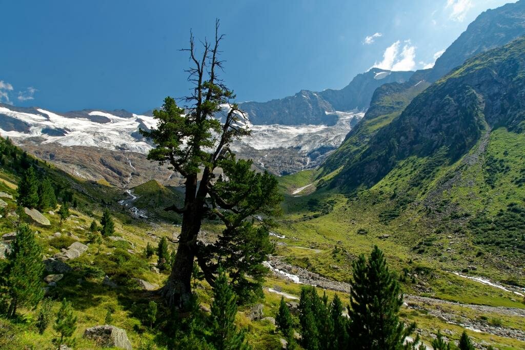
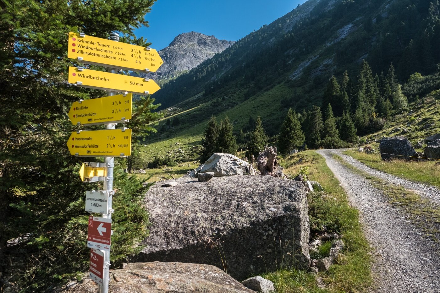
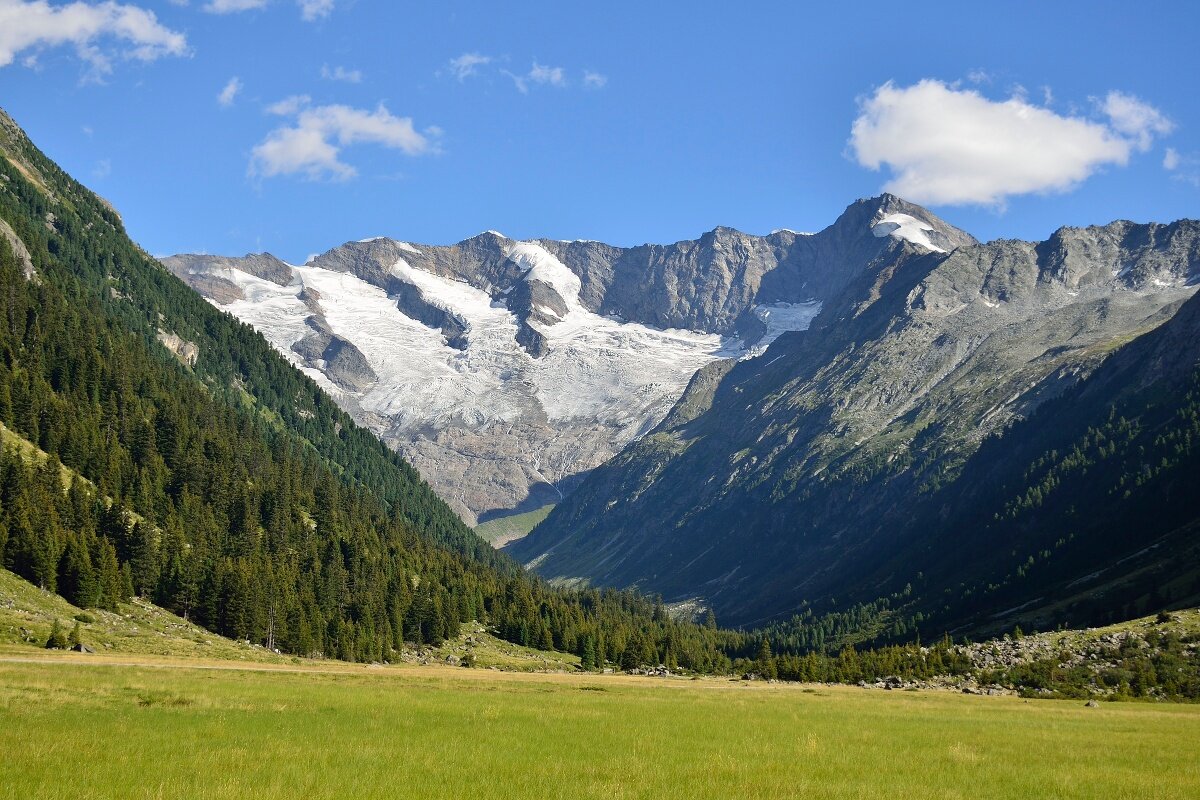
From the Krimmler Tauernhaus it goes first for about half an hour along the alpine path into the valley. In the area of the Außerunlaß Alm, the hiking path branches into the Windbach Valley, a side valley of the Krimmler Achen Valley. First, it goes somewhat steeper uphill through a beautiful stone pine forest. In the area of the Windbachalm you finally get a good view into the glacier-shaped trough valley. You hike to the end of the Windbach Valley and further up to the Krimmler Tauern. Here you enter Italian territory. On the south side, it goes rapidly downhill. On the descent, there is the possibility to stop at the Untertauernalpe. Once you have finally reached the valley floor, you pass several alpine meadows again and finally reach the village of Kasern.