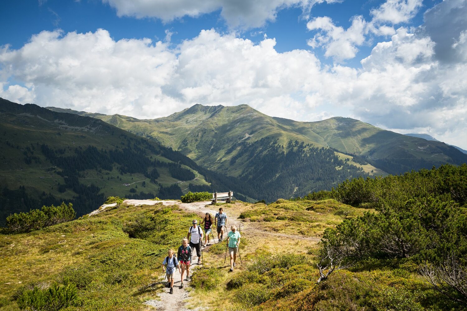
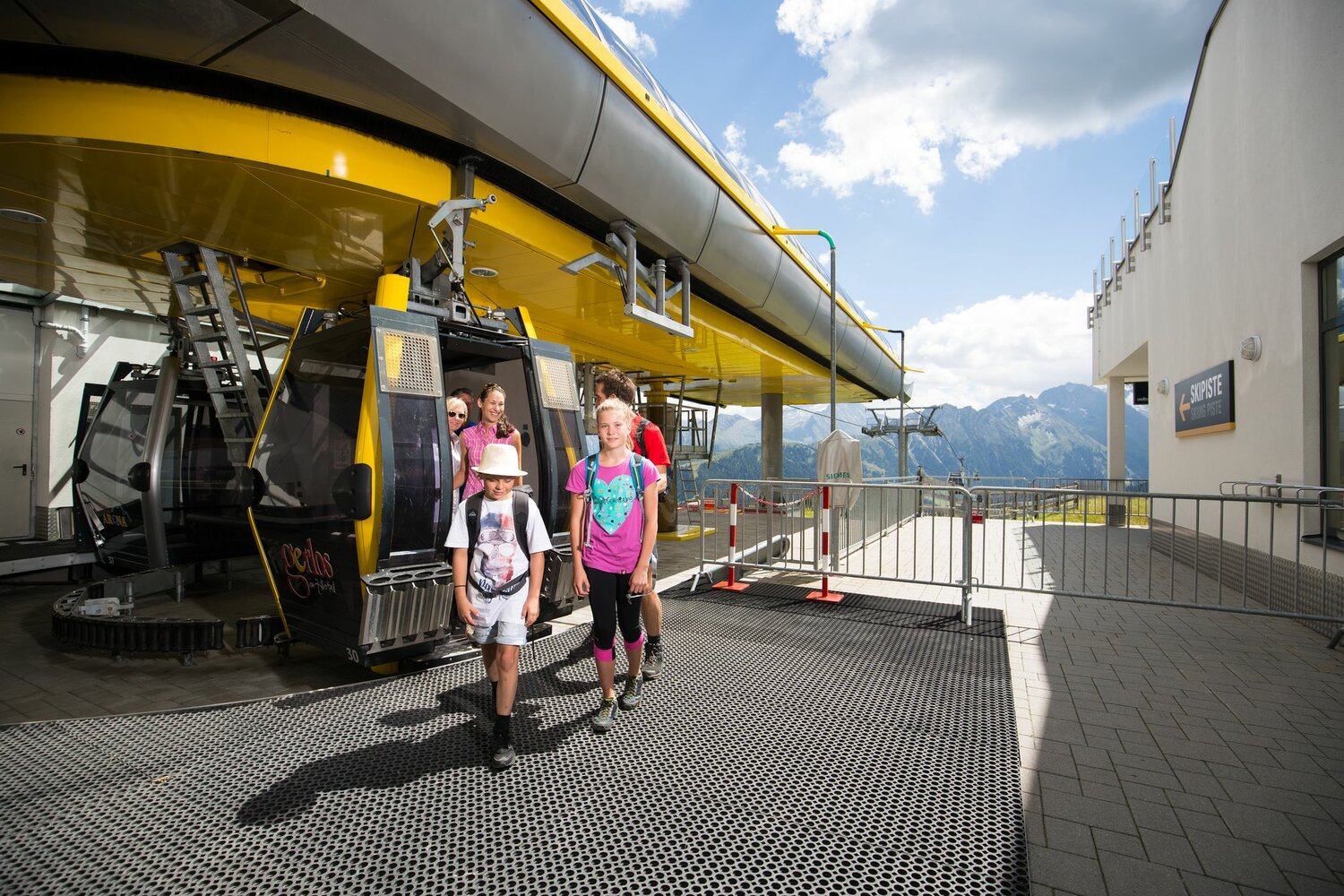
The hike along the Gerlos Wiesenweg begins in the Innertal district at the Isskogelbahn car park. Before the Krummbach Bridge, the road leads left past Landhaus Platzer. After approx. 100 m the asphalted road branches off to the right. Always following the Gerlos Wiesenweg uphill, you can reach the “Rössl Alm” in about 1.5 hours. From there a path leads to the mountain station of the Isskogelbahn and on to the Latschenalm.
Return on the same route.

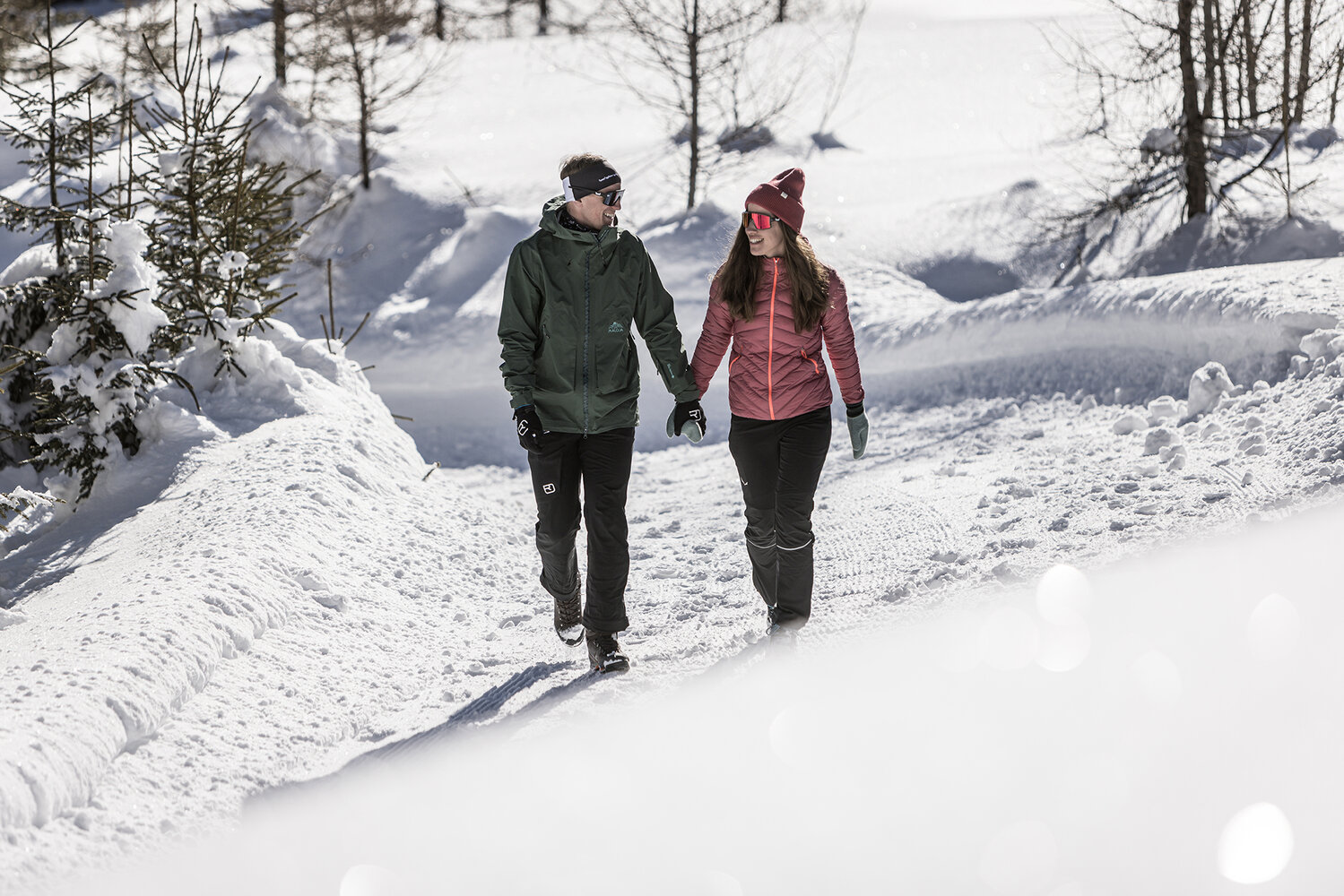
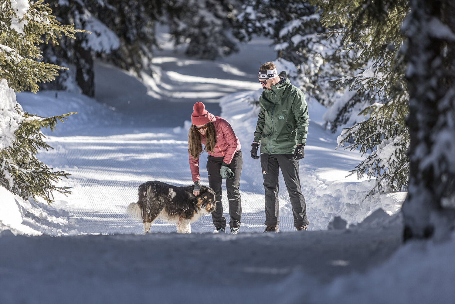
Winter hiking
in Gerlos
Gerloser Wiesenweg

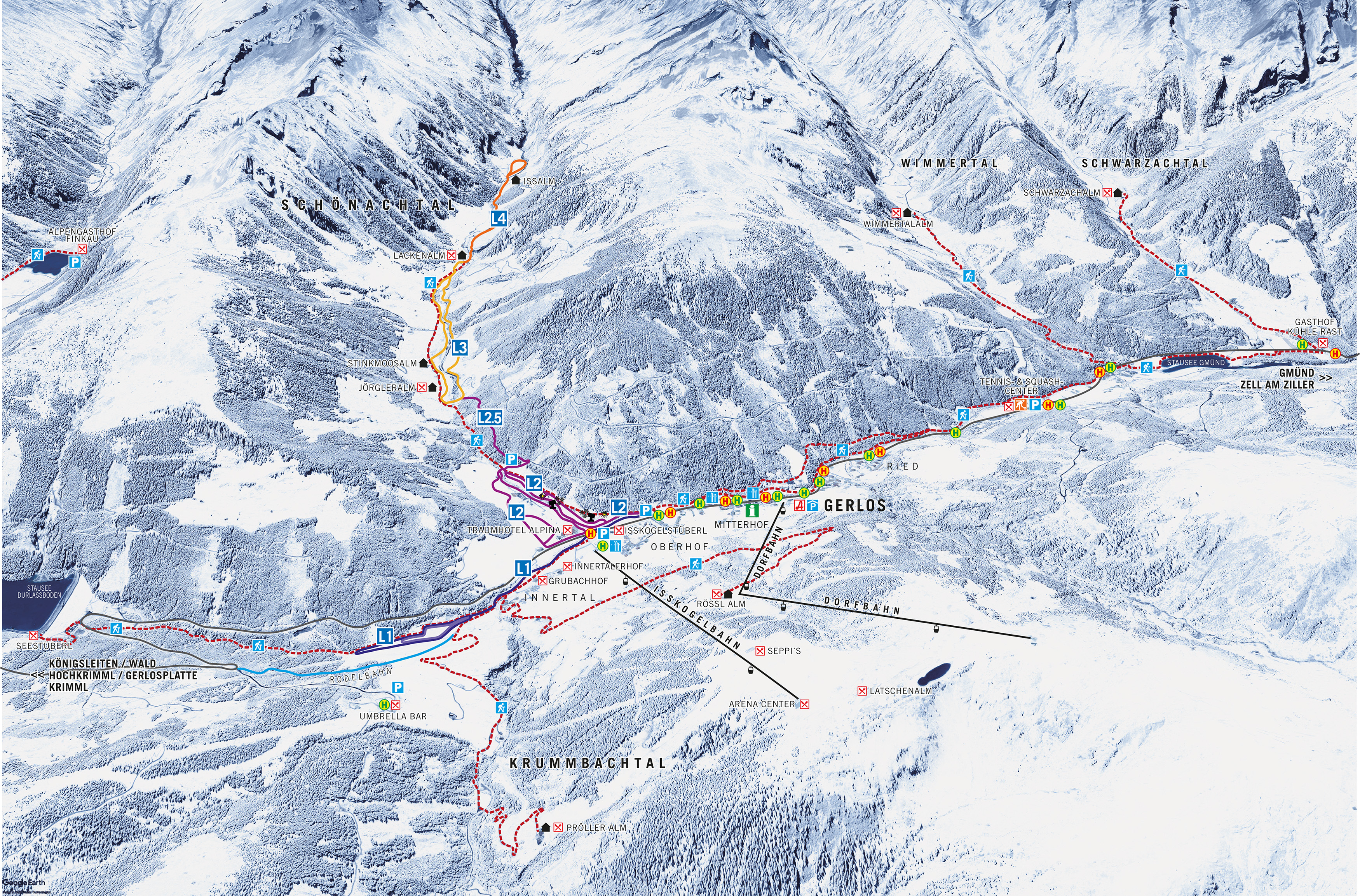
Gerlos off-piste overview map
Instructions: Zoom and move the picture with the mouse
Winterhiking in the Schwarzach Valley
