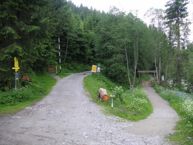
Village Run Gerlos


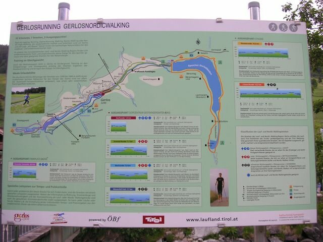
Description
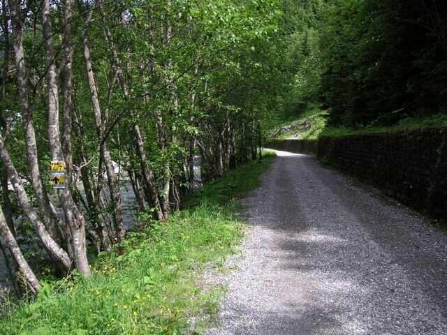
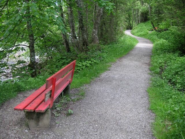
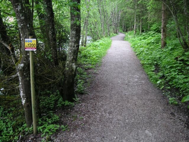
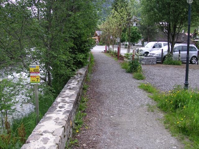
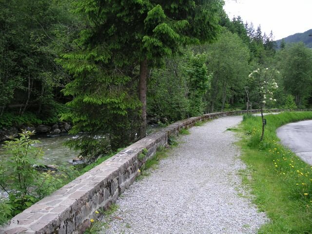
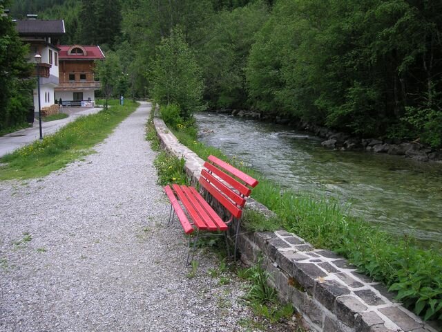
Profile of the route: flat running and Nordic walking route
Road surface: gravel and asphalt paths
Route: From the playground „Bärlihöhle“ to the west always along the „Gerlos“ creek. Cross the first bridge and then right away again along the creek eastwards to the next bridge. Switch back to the other side of the creek and back to the start. This route is suitable as a beginners course and as a tempo running track.