Ochsenkopf

Overview

Wandeltijd
04:30 h
Lengte
5.44 km
Moeilijkheid
Hard
Hoogtewinst bergop
905 hm
Hoogte bergafwaarts
64 hm
Het hoogste punt
2469 m
Route Start

Königsleiten

Route End

Königsleiten

Altitude Profile

Weather

weer vandaag
Zon zonder wolk
weer morgen
Compact clouds with no sun

Description

A challenging route with a wonderful mountain panorama!
Start at the valley station of the Königsleiten mountain cable cars along the hiking path towards Larmachalm. Continue uphill to the Königsleiten summit (2,315 m), then along the ridge to Falschriedel and to Ochsenkopf (2,469 m). From Falschriedel to Ochsenkopf sure-footedness is absolutely necessary!


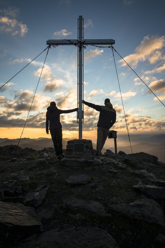
Refreshment possibility: Mountain restaurant Gipfeltreffen

jouw nieuwsbrief

Meld je aan voor onze nieuwsbrief en ontvang elke maand de beste tips over de Zillertal Arena, actuele aanbiedingen, evenementen en nog veel meer.

Der Inhalt kann nicht angezeigt werden.
Bitte akzeptieren Sie die Cookies, um den Inhalt zu laden.