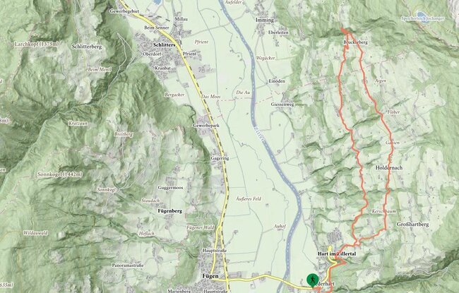
Departing from Niederhart (Gasthof Hamberg inn) along the nature educational trail, this hike brings you to the parish church in Hart. Between the parish church and Hotel Hoppet, the hiking trail leads off through the woods along the Stations of the Rosary to St Mary‘s Chapel. Head from there along the road until you reach the Säulingerhof. On the picturesque return journey via Bichlhof, you first head towards Steinerhof before bearing right at the junction located before Steinerhof itself. Then hike south (in the direction of Bichlhof) to Hart. Variant for the return leg: Leave Gasthof Säulingerhof and head toward Bruck am Ziller, turn to the left and then, through meadows and woods, you will come to Oberhart and the parish church.