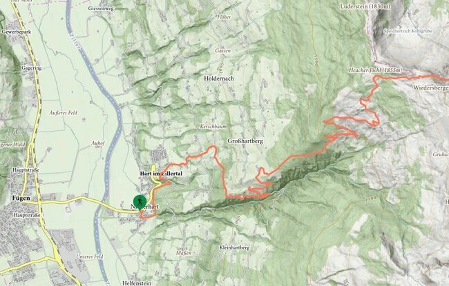
Departing from Niederhart (Gasthof Hamberg inn) along the nature educational trail, this hike brings you to the parish church in Hart. Then turn left and walk up the steeply rising track.After about 1 ½ hours you will come to the “Hinterstein” farmhouse. Turn right from the farmhouse and head towards Emat – follow the signs toward Bachleralm-Hamberg along the local road (approx. 2 hours). From the Bachleralm on the right following the red marking towards Hamberg - in approx. 2 hours you will reach the summit cross of the Hamberg mountain. Please note: there are no refreshments available on the Bachler- and Hansletalm, so remember to take drinks and food.
stop off possibilities: Hornalm
Hart - Hansletalm - Wiedersbergerhorn (Trail No. 11)