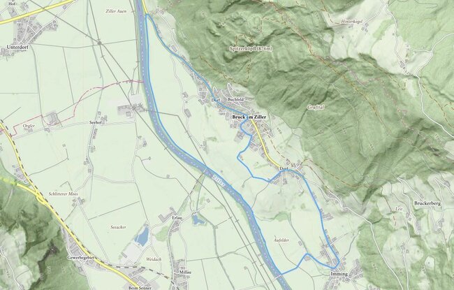
Starting from the Municipal office, this trail leads into the valley, past the Wetterkreuz cross, and through the meadows until you reach the district of Imming. Go through the district of Imming towards Schlitters – before the Ziller bridge, turn right on to the Zilleruferweg (Ziller bank path). Follow the footpath as far as the outskirts of
Bruck. Then take the Dorfstrasse back to the centre of the village.
Bruck valley walk