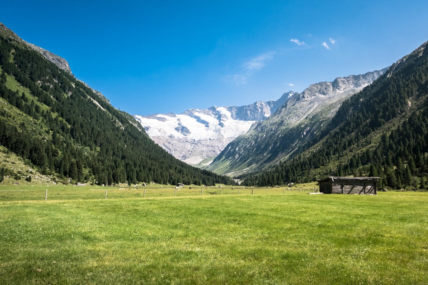
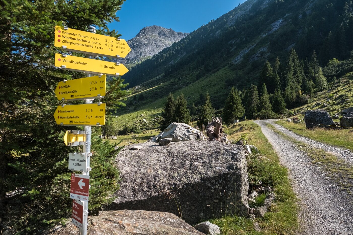
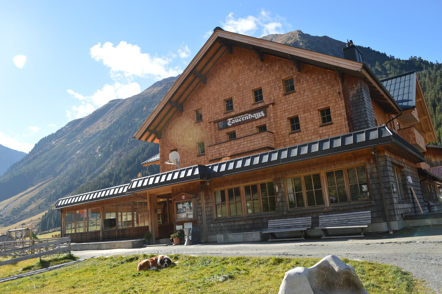
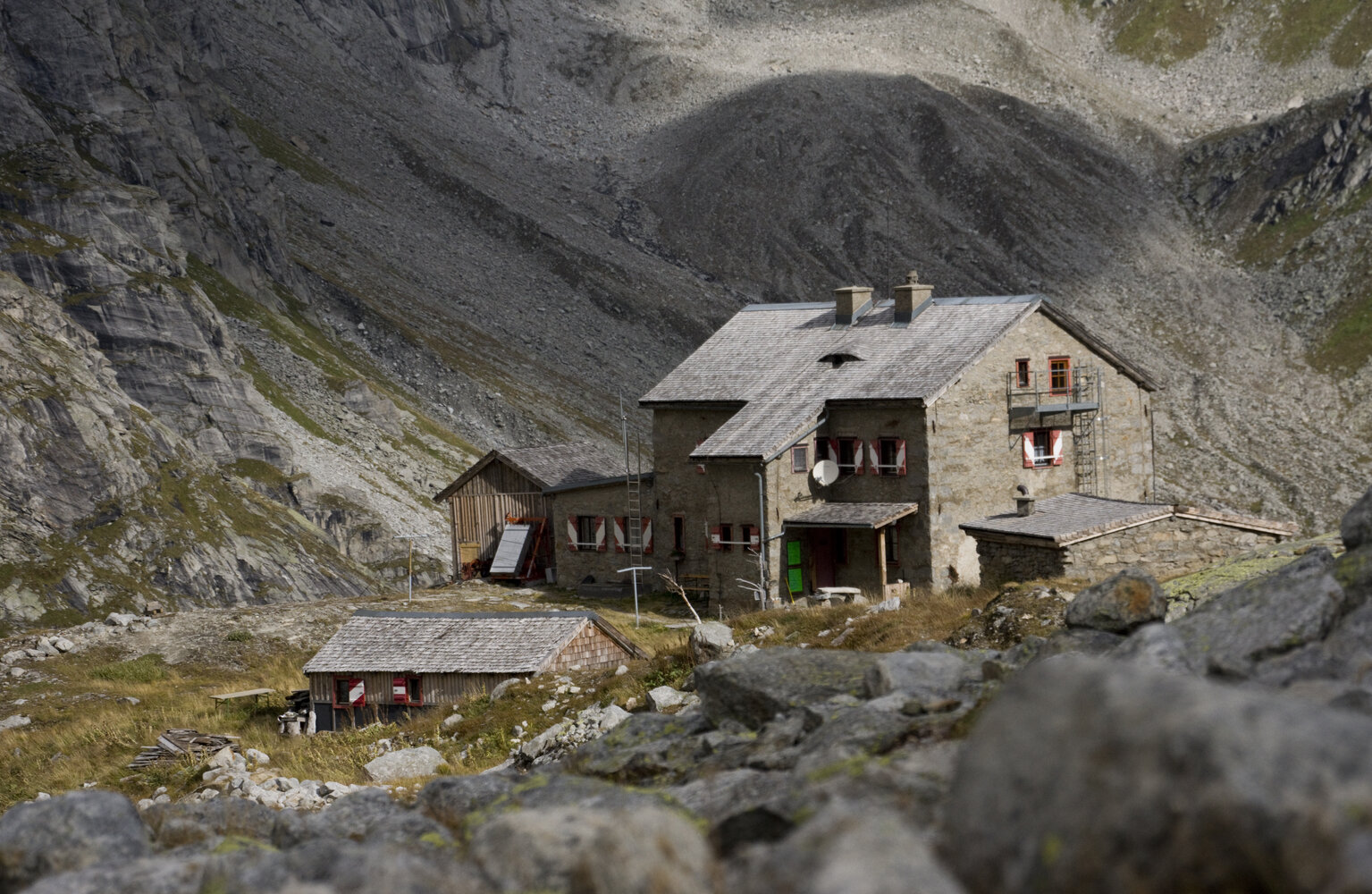
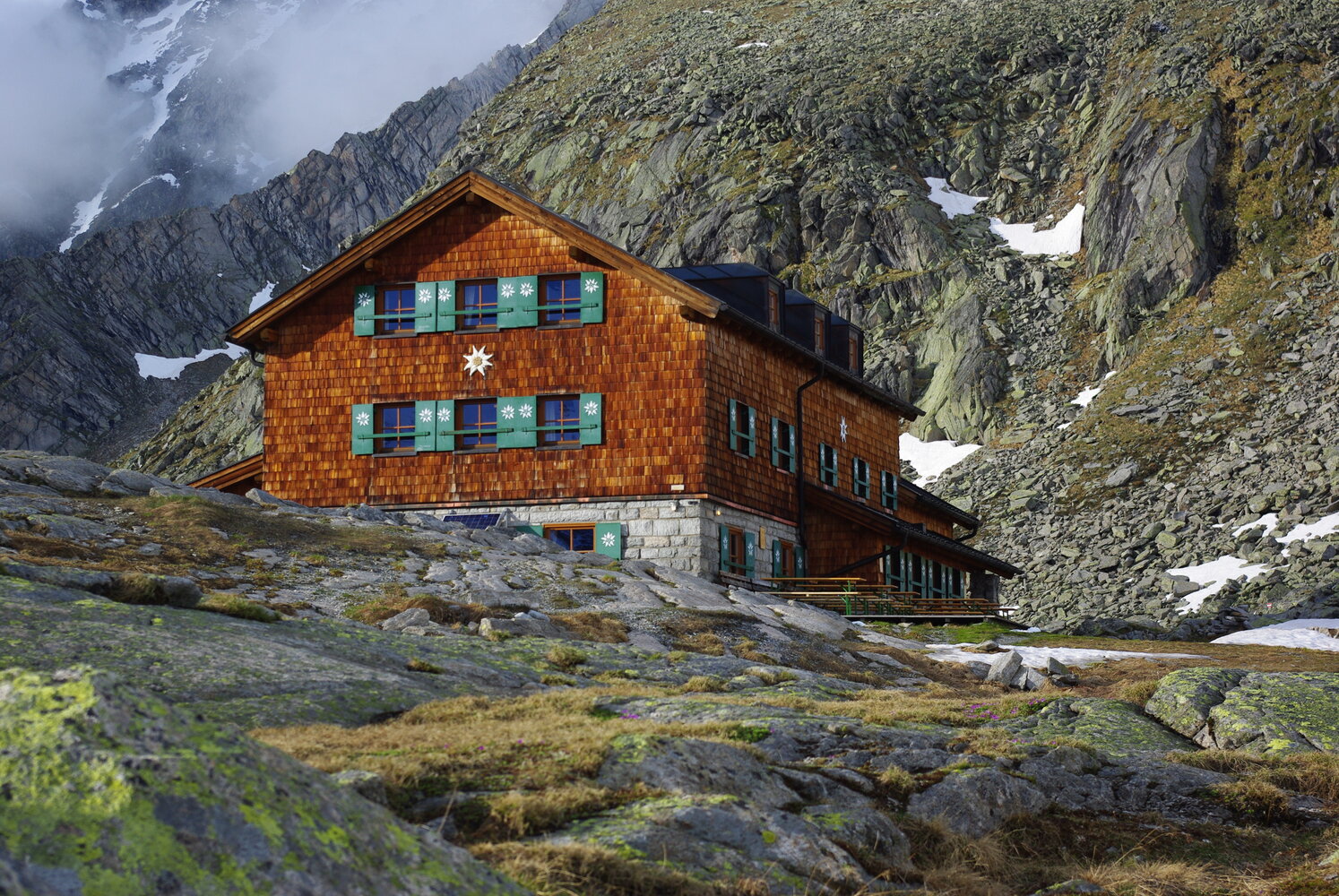
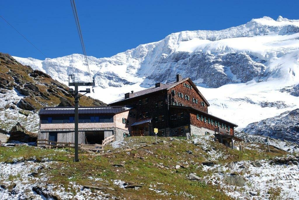
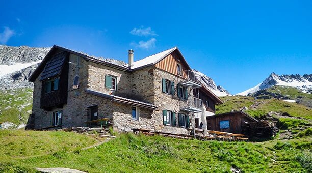
The multi-day route starts at the Tauernhaus in the Krimmler Achental. The trail leads over the Rainbachscharte to the Zittauer Hütte in the Wildgerlostal. A beautiful view of the upper and lower Gerlos lakes awaits you there. Over the Rosskarscharte you then go to the Richter Hütte. Next, you hike over the Windbachscharte to the Eissee and the Zillerplattenscharte. The trail now runs towards South Tyrol: Heiliges Geistjöchl/Forcella di Campo. The Lausitzerweg leads you past the Krimmler Tauern via the Teufelsstiege to the Birnlücken Hütte. You cross the border back into Austria at Birnlücke/Forcella del Picco. The Warnsdorfer Hütte with the Eissee about 15 minutes away is already back in the Krimmler Achental. Then you hike back to the Krimmler Tauernhaus - our starting point.
Hiking in the tri-border area


Description
The high alpine circular hike along the mountain ridges of the eastern Zillertal Alps and the western Venediger group through the border area of the regions of Tyrol, Salzburg, South Tyrol.