Königsleiten - Müllachtal - Salzachtal - Salzach hut

Overview

Wandeltijd
03:02 h
Lengte
8.05 km
Moeilijkheid
Middle
Hoogtewinst bergop
234 hm
Hoogte bergafwaarts
921 hm
Het hoogste punt
2252 m
Route Start

Königsleiten village cable car mountain station

Route End

Entrance barrier Salzachtal

Altitude Profile

Weather

weer vandaag
Lichte sneeuwval, overwegend bewolkt
weer morgen
Voornamelijk zonnig

Description

A beautiful hike from the alpine village Königsleiten into the neighbouring Salzach valley, where the state's main river, the "Salzach", also originates.

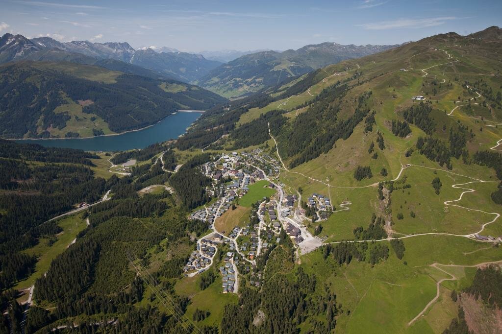
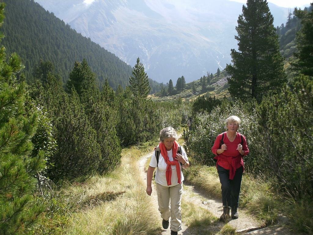
Take the Königsleiten village cable car up to the mountain station. From there, you start towards the first destination, the 2,254 m high Müllachgeier. After a short break, continue via the Mottland-Grundalm into the Salzach valley and from there along the spring trail back to the Salzach hut at 1,650 m above sea level, where you can relax and enjoy refreshments. From there, return back to Königsleiten.

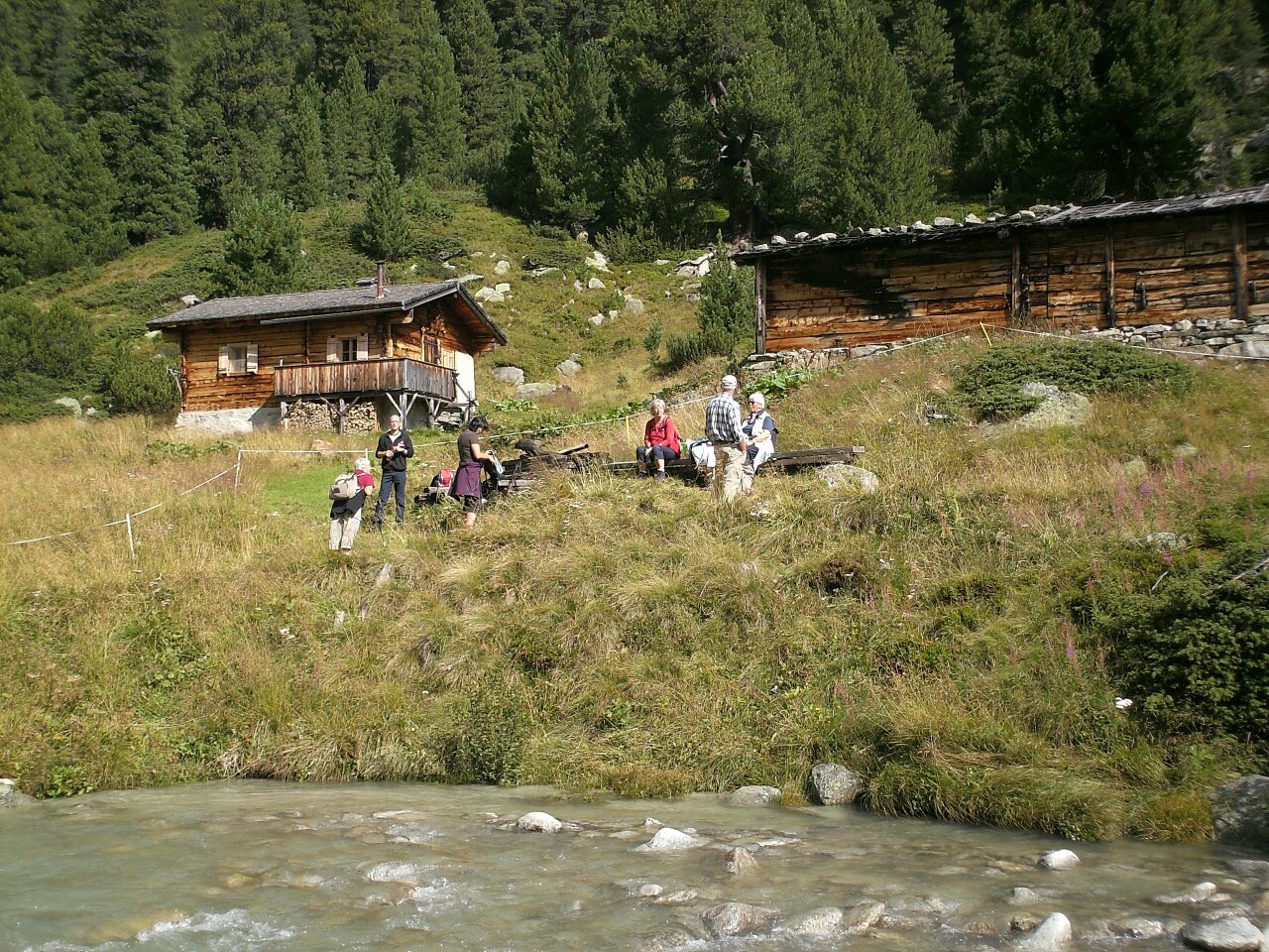
Refreshment option: Salzach hut

Der Inhalt kann nicht angezeigt werden.
Bitte akzeptieren Sie die Cookies, um den Inhalt zu laden.