Summit Hike: Marchkopf (2,499 m)

Overzicht

Wandeltijd
05:00 h
Lengte
7 km
Moeilijkheid
Middle
Hoogtewinst bergop
680 hm
Hoogte bergafwaarts
680 hm
Het hoogste punt
2499 m
Route Start

Zellbergstüberl oder Hirschbichlalm

Route End

Marchkopf (2.499 m)

Altitude Profile

Weather

weer vandaag
20° Zon, wolken, regenbuien
weer morgen
12° Dikke wolken, wat regen

Description

5-hour mountain tour to the Marchkopf. Starting point: Zillertal Höhenstraße, Mautstraße, Bereich Zellberg

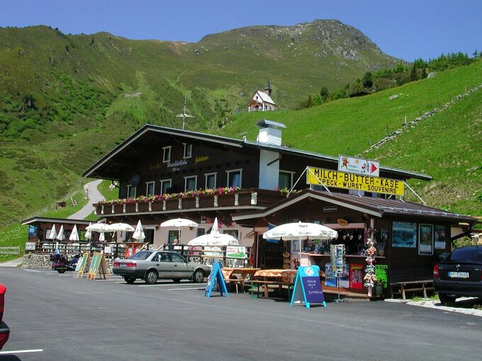
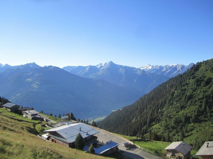
Starting point: Hirschbichlalm, 1,822 m (Zillertaler Höhenstraße - High Road, toll road)

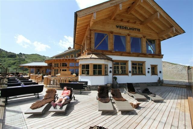
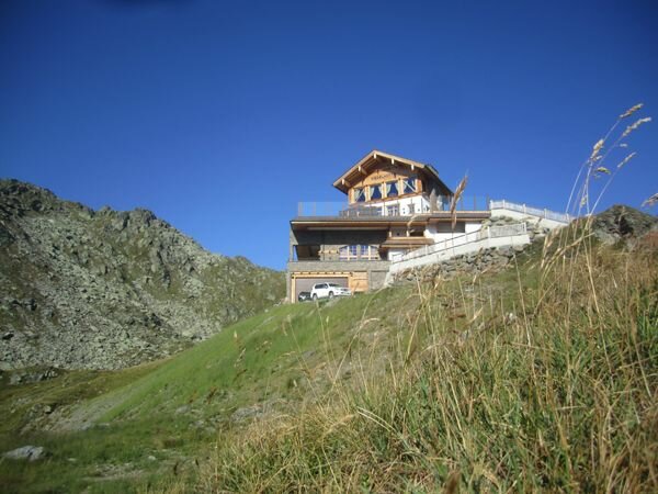
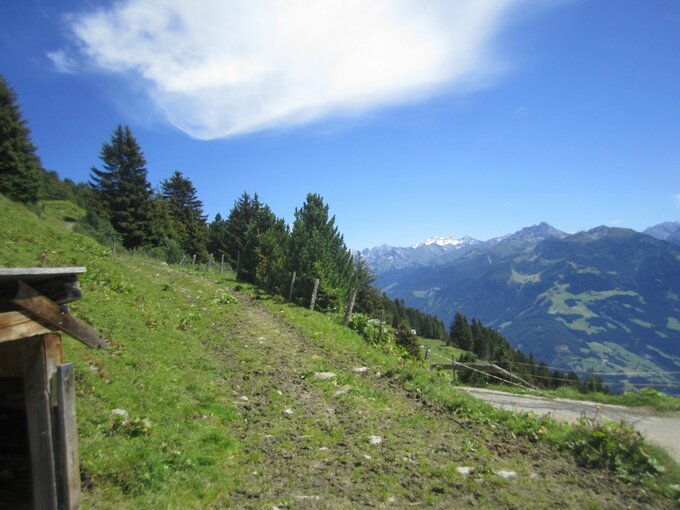
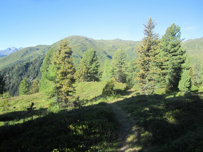
A short piece on the left to the West of the Hirschbichlalm along the street the marked way branches off the street after the huts. Follow the way over the wide pastures of the Krössbrunnalm. The way leads further to the mountain ridge with a wonderful view on a mountain lake. When you have reached the mountain ridge you have a marvellous view on the alpine huts of Hochfügen. There on the right further to the Marchkopf (2,449 m). From the summit it is a short and precipitous descent to the Wedelhütte (2,350 m). From there you follow the marked way through the basin back to the Hirschbichlalm.

 

jouw nieuwsbrief

Meld je aan voor onze nieuwsbrief en ontvang elke maand de beste tips over de Zillertal Arena, actuele aanbiedingen, evenementen en nog veel meer.

De inhoud kan niet worden weergegeven.
Accepteer de cookies om de inhoud te laden.