Durlassboden Reservoir (full tour)

Overzicht

Wandeltijd
03:30 h
Lengte
10.63 km
Hoogtewinst bergop
241 hm
Hoogte bergafwaarts
241 hm
Het hoogste punt
1460 m
Route Start

Bräueralm

Route End

Bräueralm

Altitude Profile

Weather

weer vandaag
Lichte sneeuwval, overwegend bewolkt
weer morgen
Matige sneeuwval, overwegend bewolkt

Downloads

Description

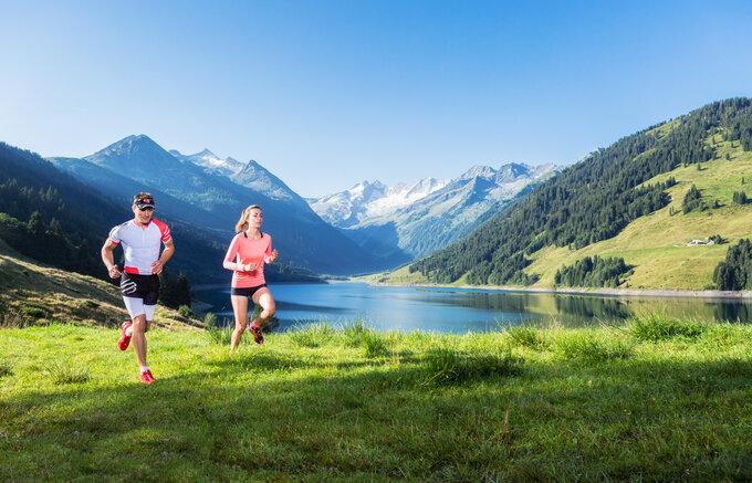
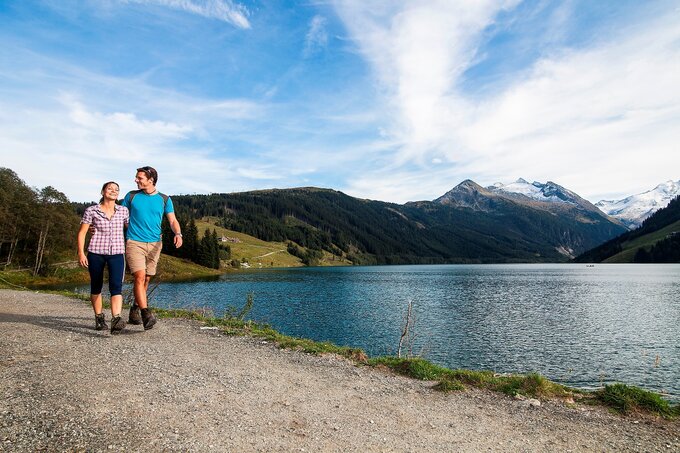
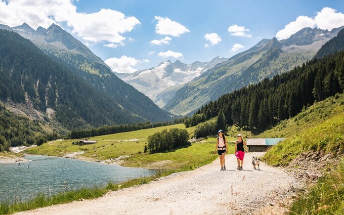
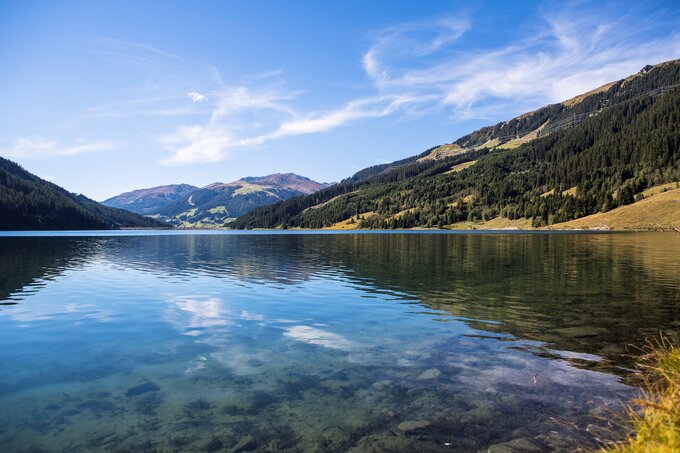
A hiking path around the Durlassboden reservoir.

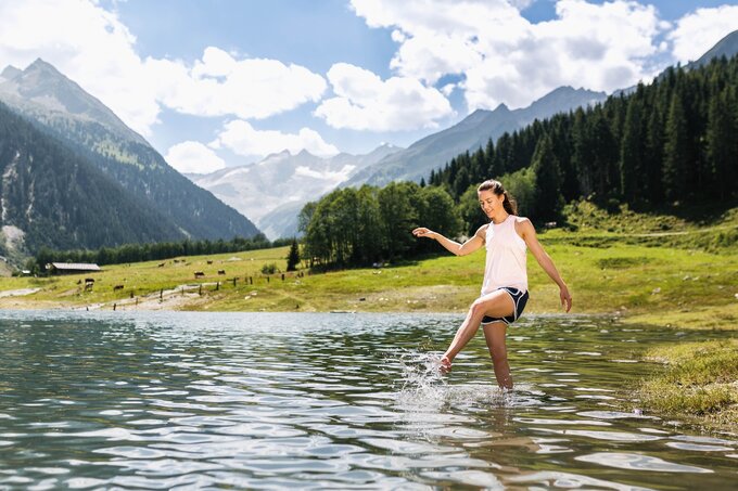
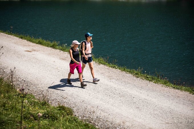
This hiking path, which takes you on a full loop of the lake, begins at the Bräuer Alm, right next to the road leading to Gasthof Finkau. If you go from here in the direction of the dam, you will soon come to the Seestüberl, where they also have boats available for rent. The path now takes you across the dam and later pass the Bärschlag Alm, yet another good refreshment opportunity. On hot days, you can enjoy a refreshing dip in the lake at various swimming areas. Close to the Schütthof Alm, you will cross the river that feeds into the reservoir, then walk along back to your original starting point.

jouw nieuwsbrief

Meld je aan voor onze nieuwsbrief en ontvang elke maand de beste tips over de Zillertal Arena, actuele aanbiedingen, evenementen en nog veel meer.

De inhoud kan niet worden weergegeven.
Accepteer de cookies om de inhoud te laden.