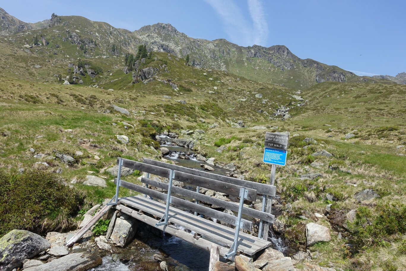
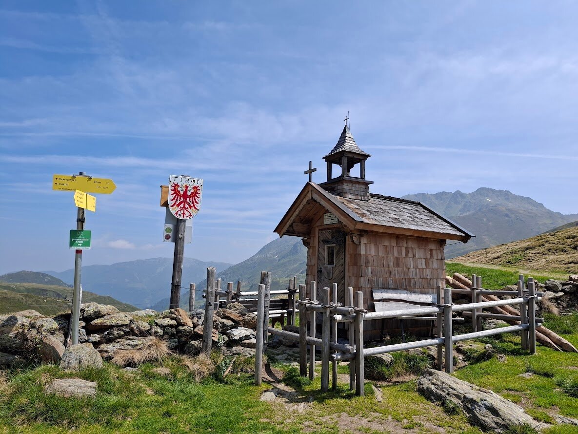
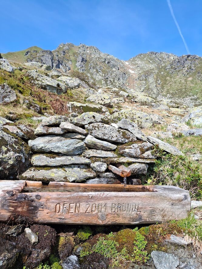
You start at the barrier, at the entrance of the Salzach valley directly on the old Gerlos road (B165). From here, the path leads along the valley, past the Salzach hut and further to the Salzachalm. On the way, you can make a short detour to the Markkirchl, a small chapel directly on the state border to Tyrol. Just below the Salzachgeier summit is the source of Salzburg's state river - the Salzach!
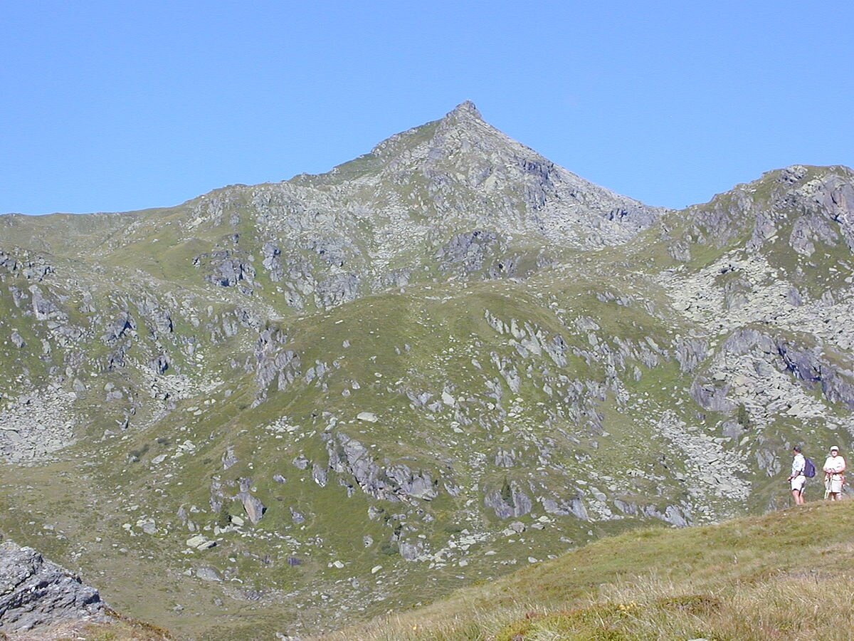
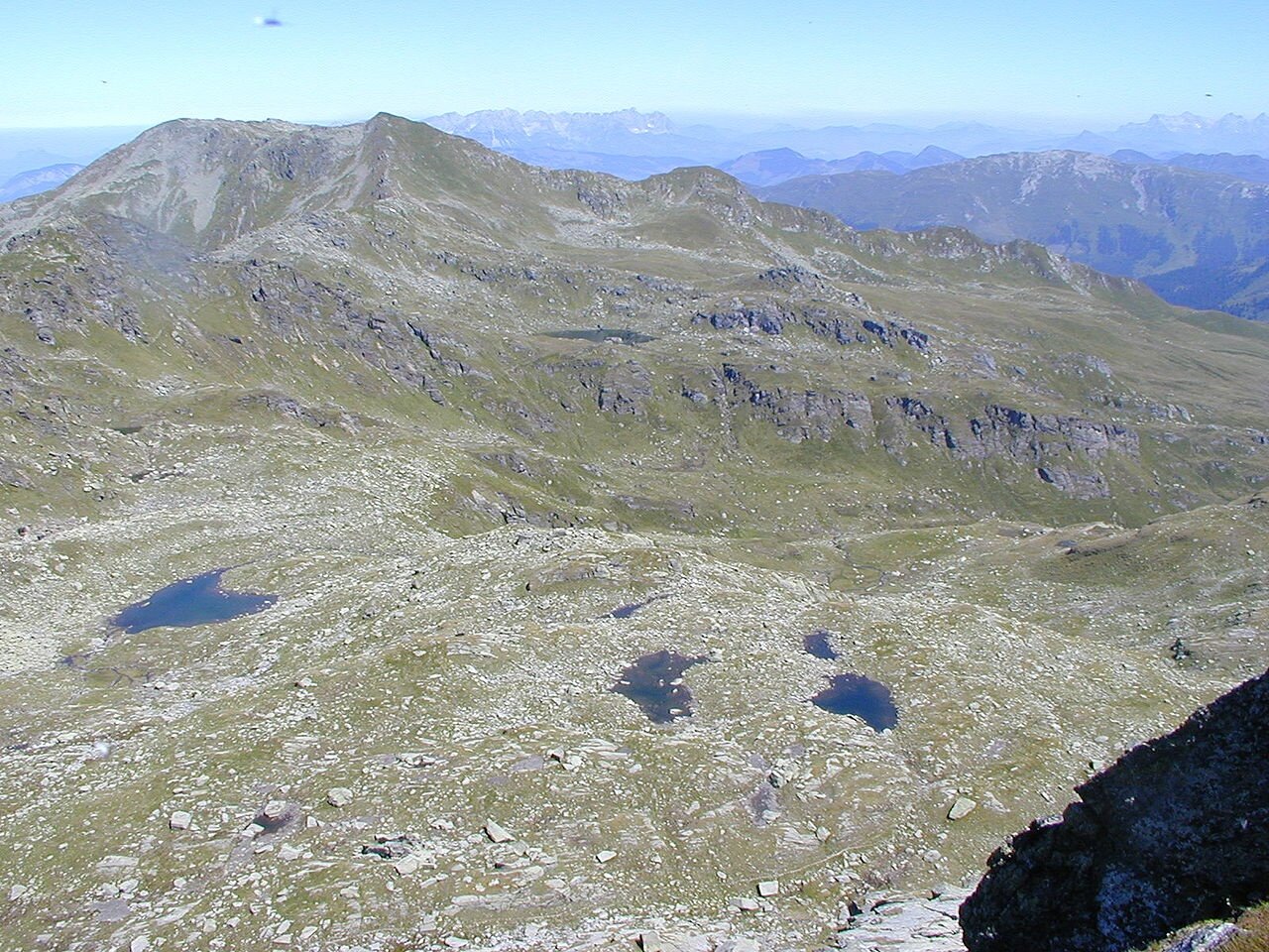
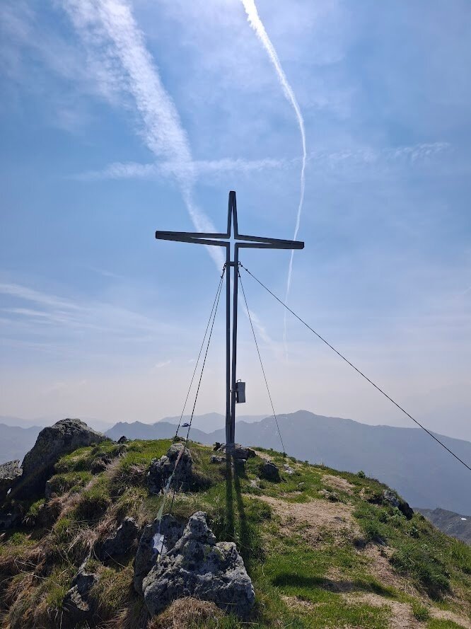
The summit is one of the highest mountains in this area, offering a breathtaking panorama of the surrounding mountain landscape!
Markkirchl - Salzachgeier
Description
Scenic hike to the source of the main river of the state of Salzburg - the Salzach