Refreshment stop: Bergrestaurant Gipfeltreffen, Larmachalm
Königsleitenspitze (via Larmachalm)
Description
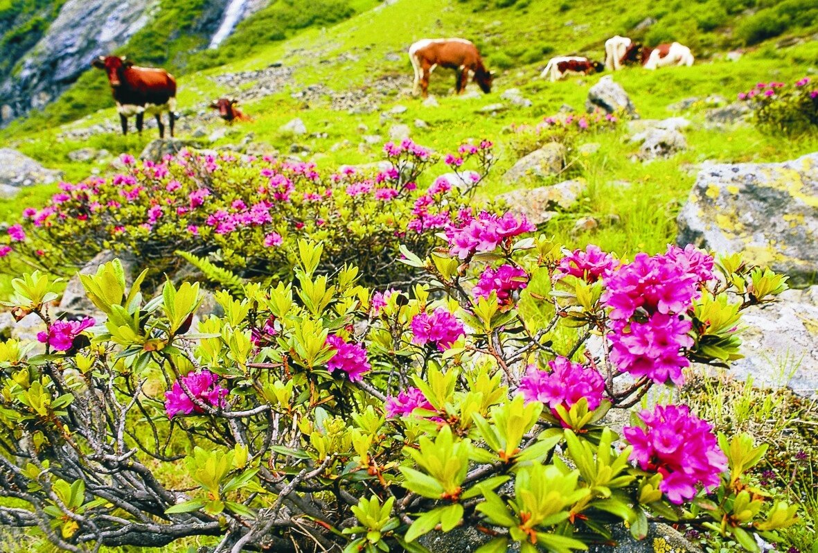
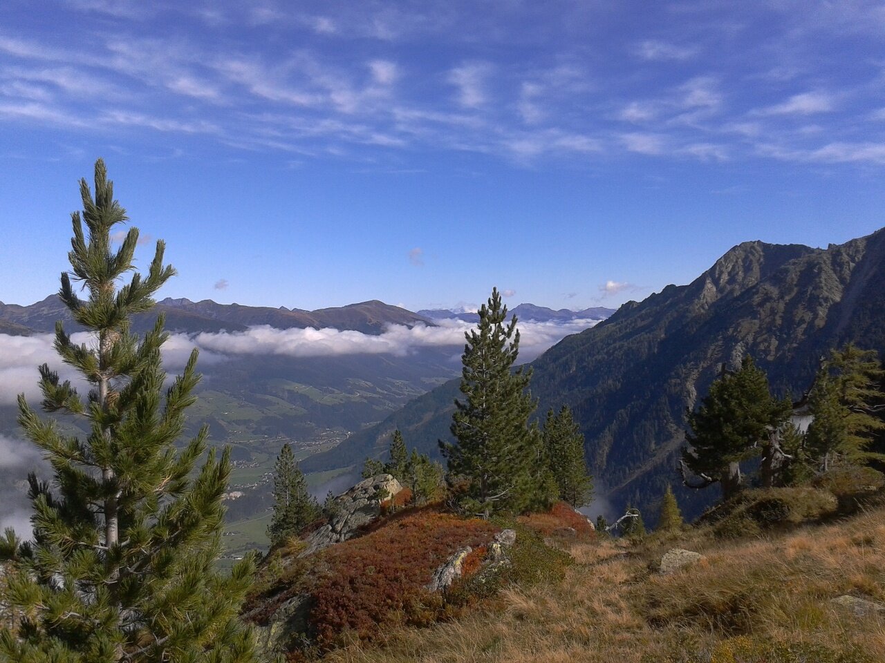
A hike in the Kitzbühel Alps with a place to stop for refreshments - at the summit you have a wonderful view of two valleys.
The Yodel Hiking Trail with several yodel stations is partly along this route. At the various experience stations along the yodel hiking trail, you can join in simple, traditional yodels - have fun!
Start at the Alpine village Königsleiten along the ski route to Larmachalm where you can take a break in the cozy hut. Continue to the Königsleitenspitze (2,315 m) with a magnificent panorama over the Hohe Tauern and Zillertal Alps! At the summit you have a wonderful view of two valleys. The Yodel Hiking Trail with several yodel stations is partly on the route. At the various experience stations along the yodel hiking trail, you can join in simple, traditional yodels - have fun!