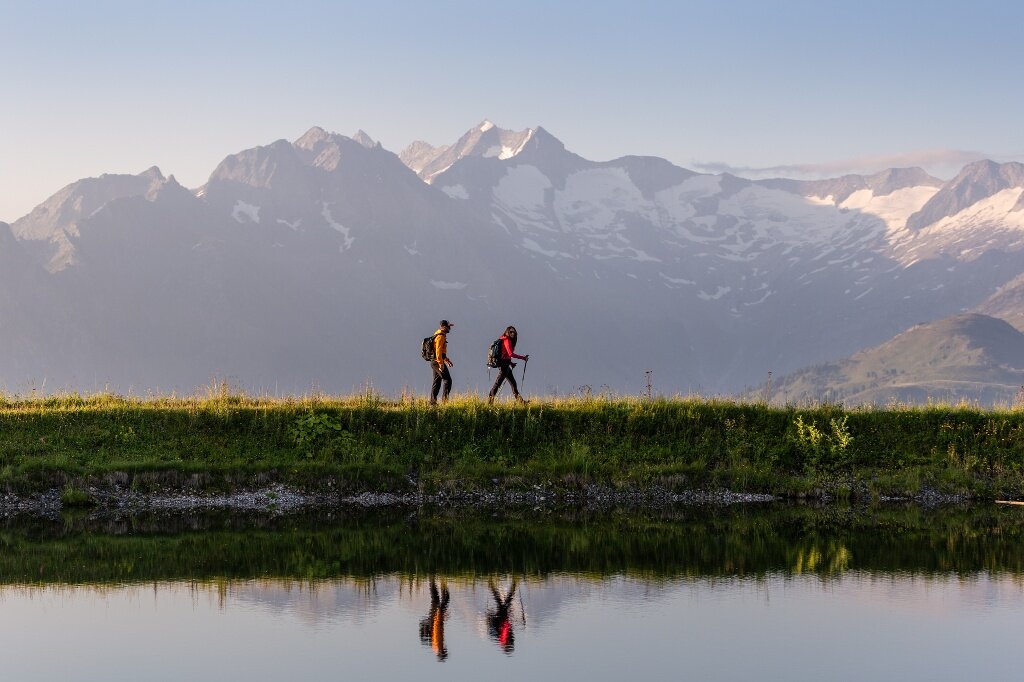
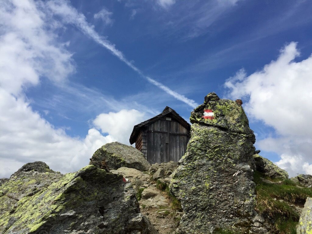
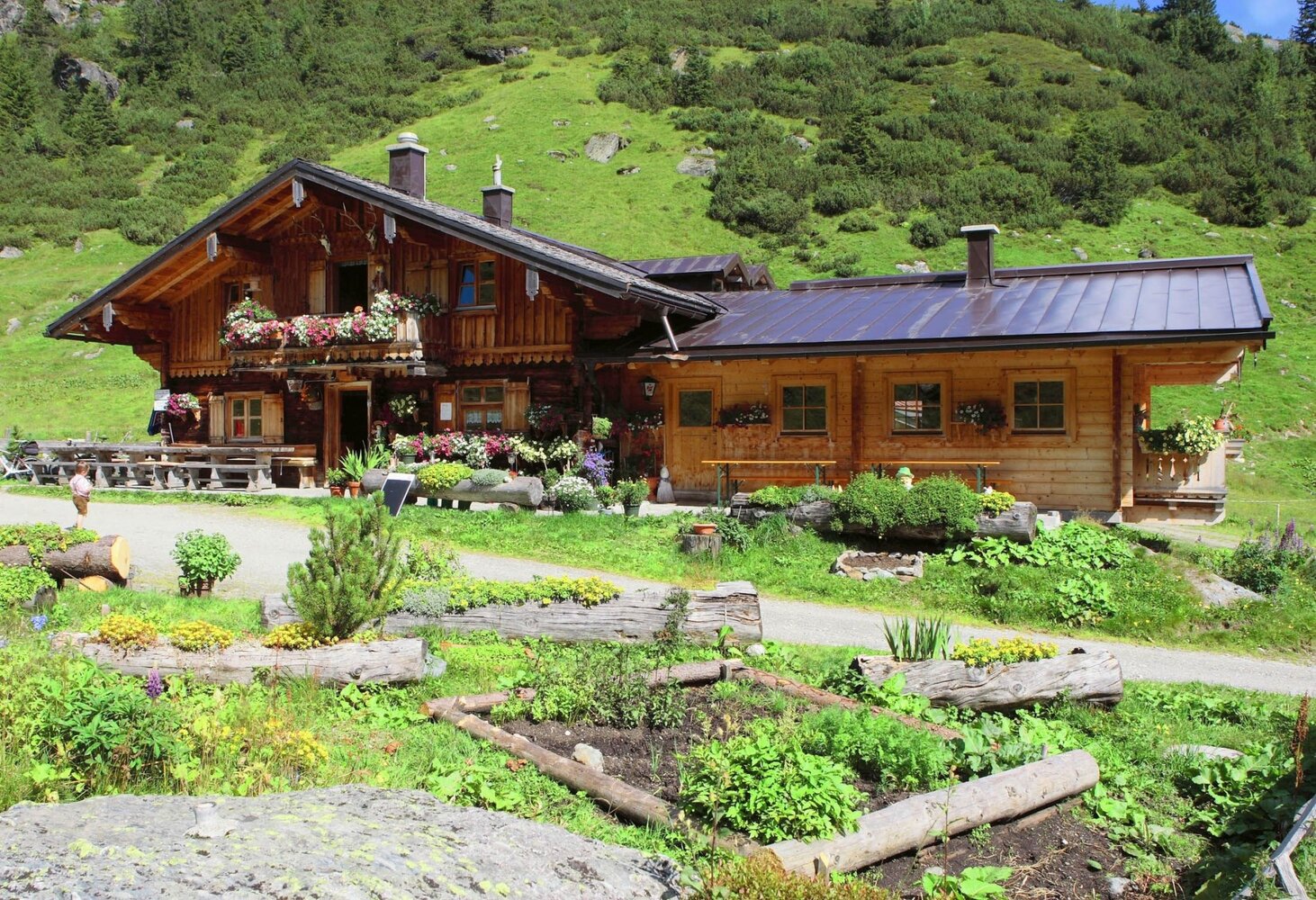
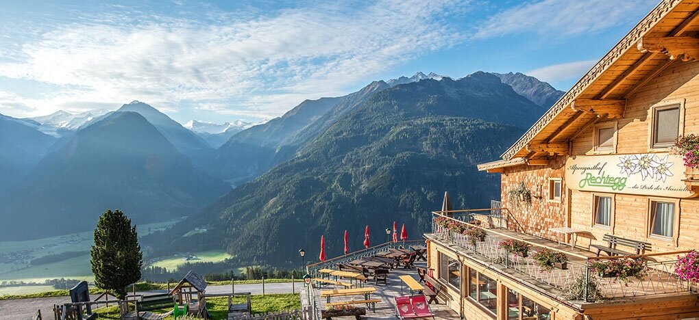
On the third day, nearly 20 kilometers must be covered again, and today the path leads up to 2,444 meters above sea level. The highest point of the hike is the rocky double summit of the Kröndlhorn, which stands out from the otherwise gentle grassy mountains of the Kitzbühel Alps. At its highest point is a small memorial chapel instead of a summit cross, and hikers enjoy a magnificent view of over 70 three-thousand-meter peaks. The stage destination is the Alpengasthof Rechtegg, located at 1,278 meters above the National Park village Neukirchen am Großvenediger.
If weather conditions or personal constitution do not allow the ascent of the Kröndlhorn, the alternative route ET03 Sonnenweg | Königsleiten-GH Rechtegg is recommended.