Valley route from Mühlbach to Krimml

Overview

Wandeltijd
07:00 h
Lengte
23.26 km
Moeilijkheid
Middle
Hoogtewinst bergop
624 hm
Hoogte bergafwaarts
200 hm
Het hoogste punt
1079 m
Route Start

Mühlbach

Route End

Krimml

Altitude Profile

Weather

weer vandaag
Lichte sneeuwval, overwegend bewolkt
weer morgen
Voornamelijk zonnig

Description

Beautiful hike through meadows and forests along some rivers. Stunning views of the national park valleys between Krimml and Mühlbach make this route an experience!


The hike starts in Mühlbach near Bramberg ....... passing by ..... (Habachtal, Untersuzlbach waterfall, Blausee, ....)


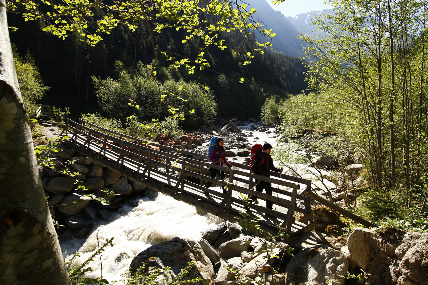
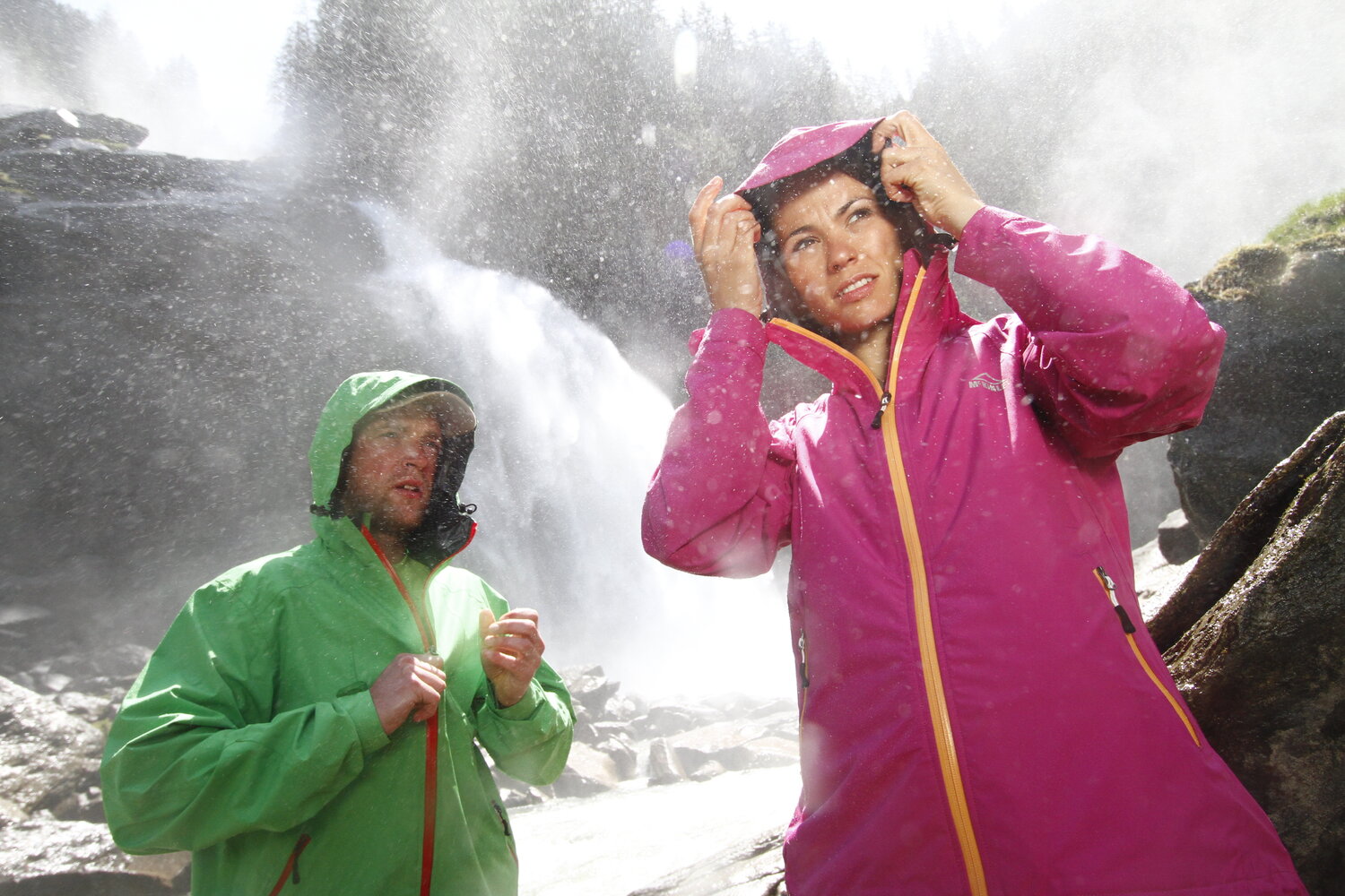
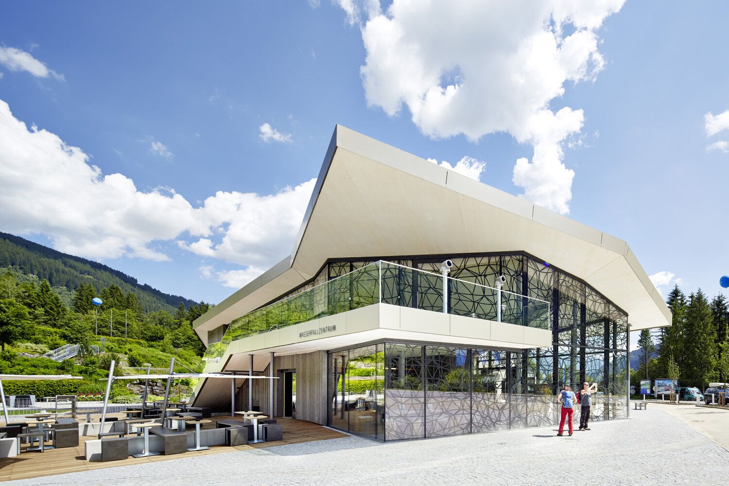
From Gasthof Siggen, it continues leisurely via Scheffau to Wald in Pinzgau. Here, hikers will find some places to stop and eat before continuing along the fairytale path to Vorderkrimml. Following the Achenwald path, it goes to the world-famous Krimml Waterfalls - you will be amazed by this impressive natural spectacle!


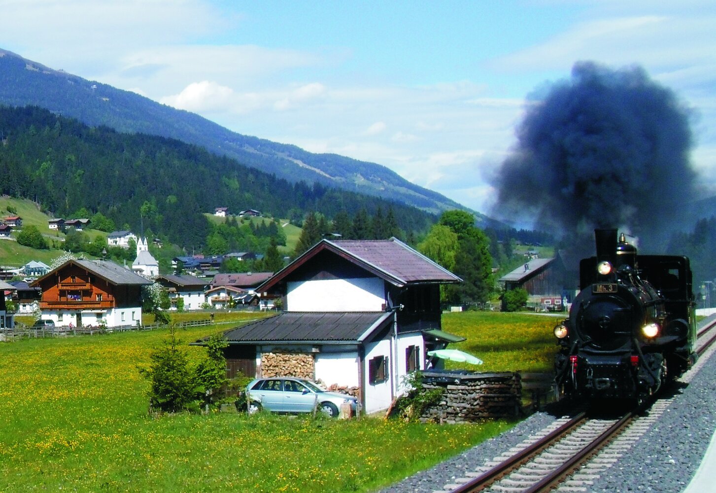
Return options by bus or from Vorderkrimml also by train!


Der Inhalt kann nicht angezeigt werden.
Bitte akzeptieren Sie die Cookies, um den Inhalt zu laden.