

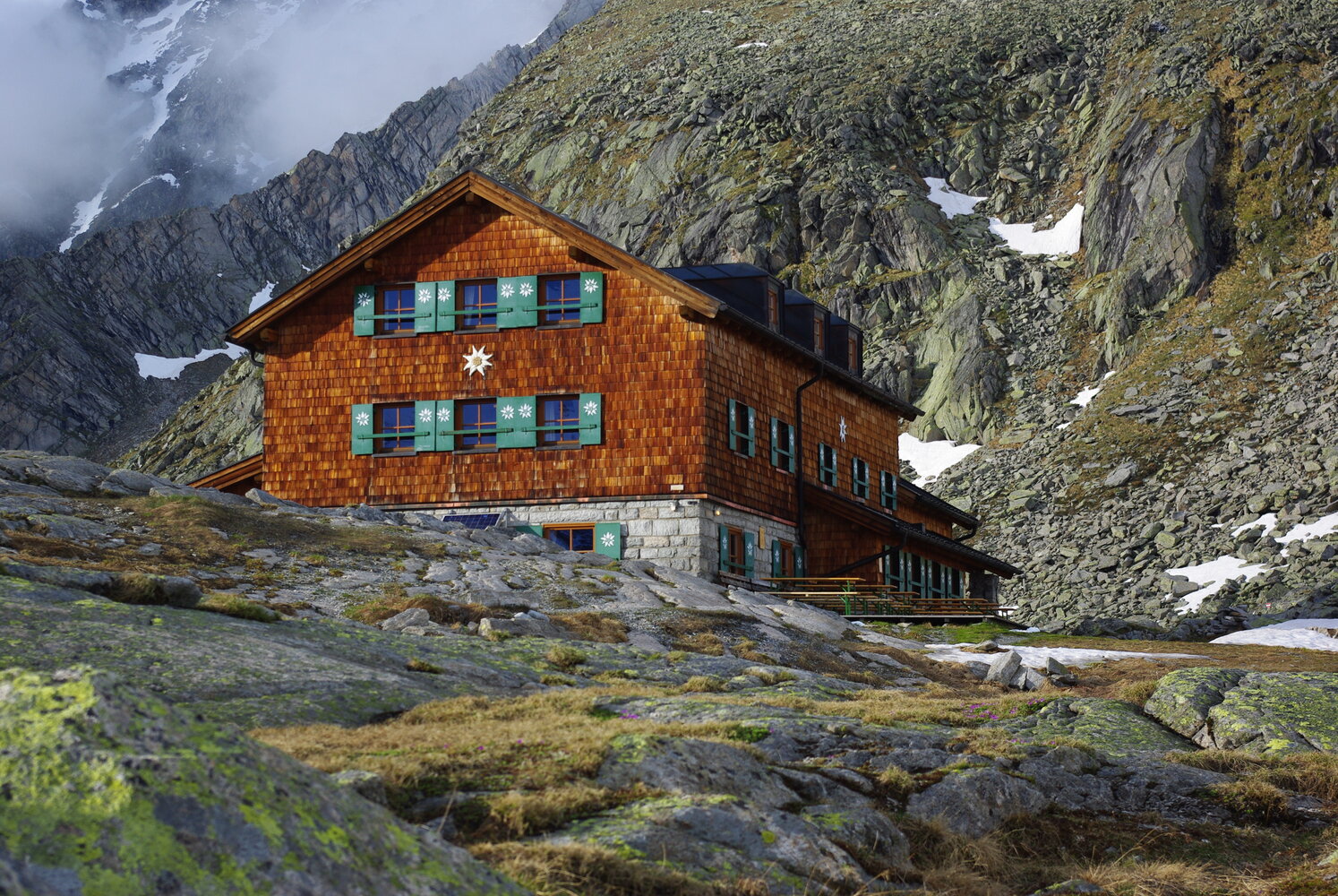
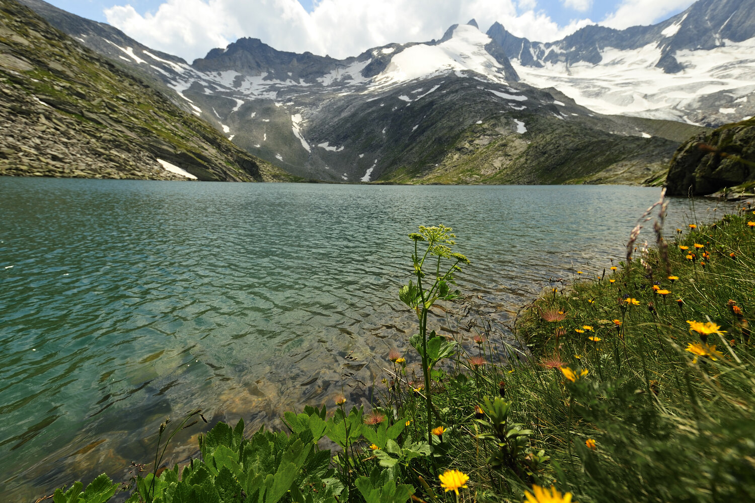
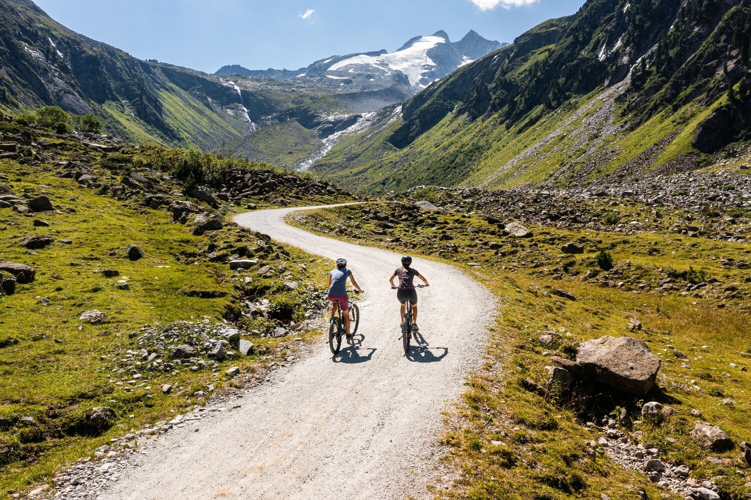
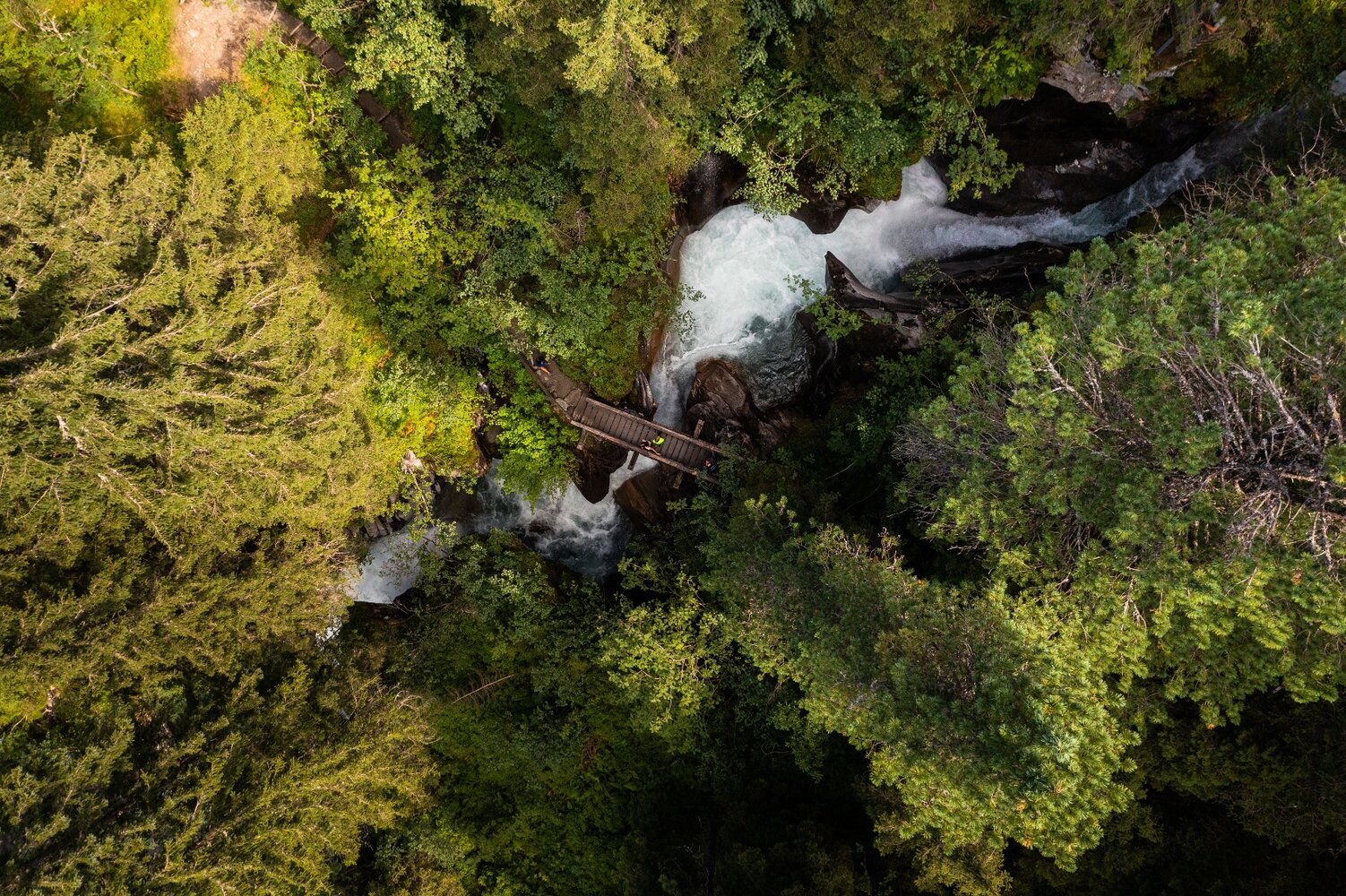
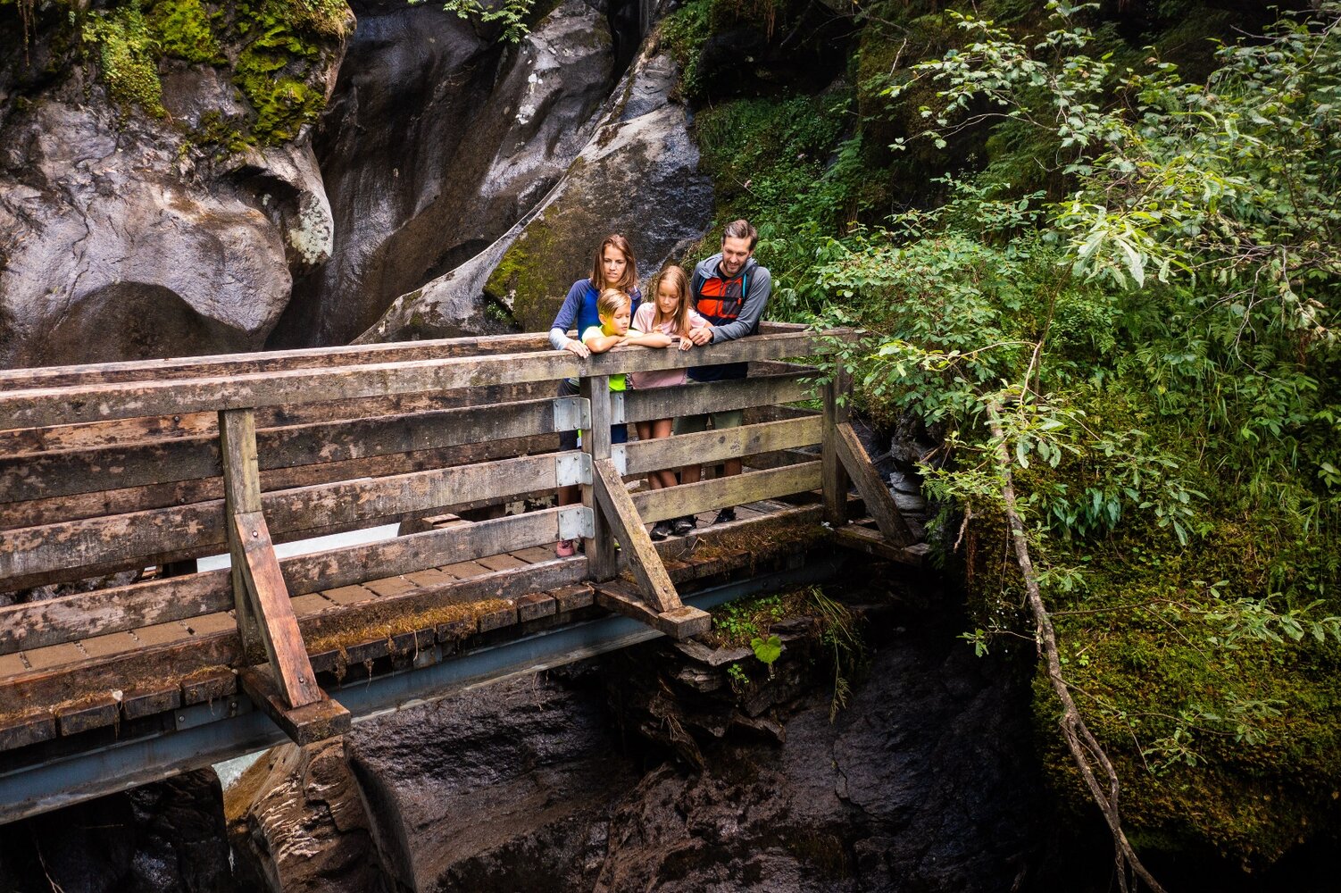
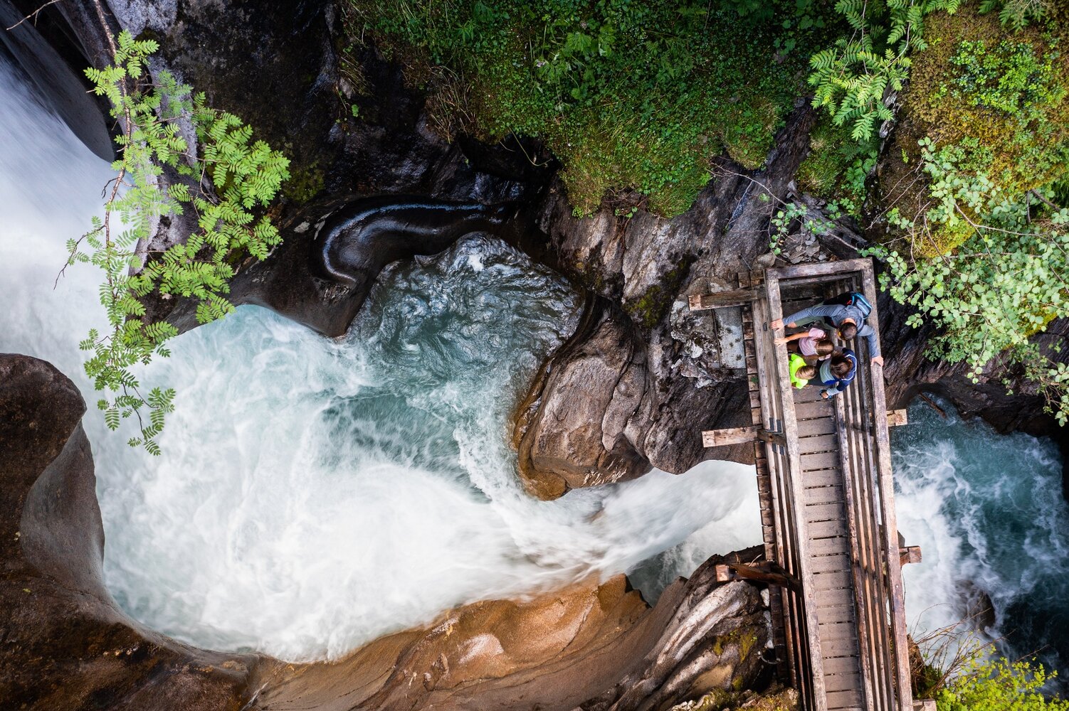
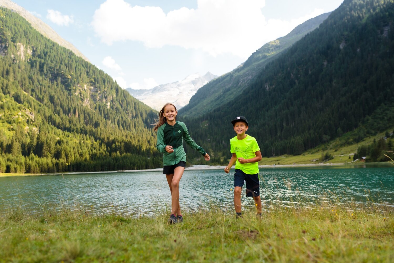
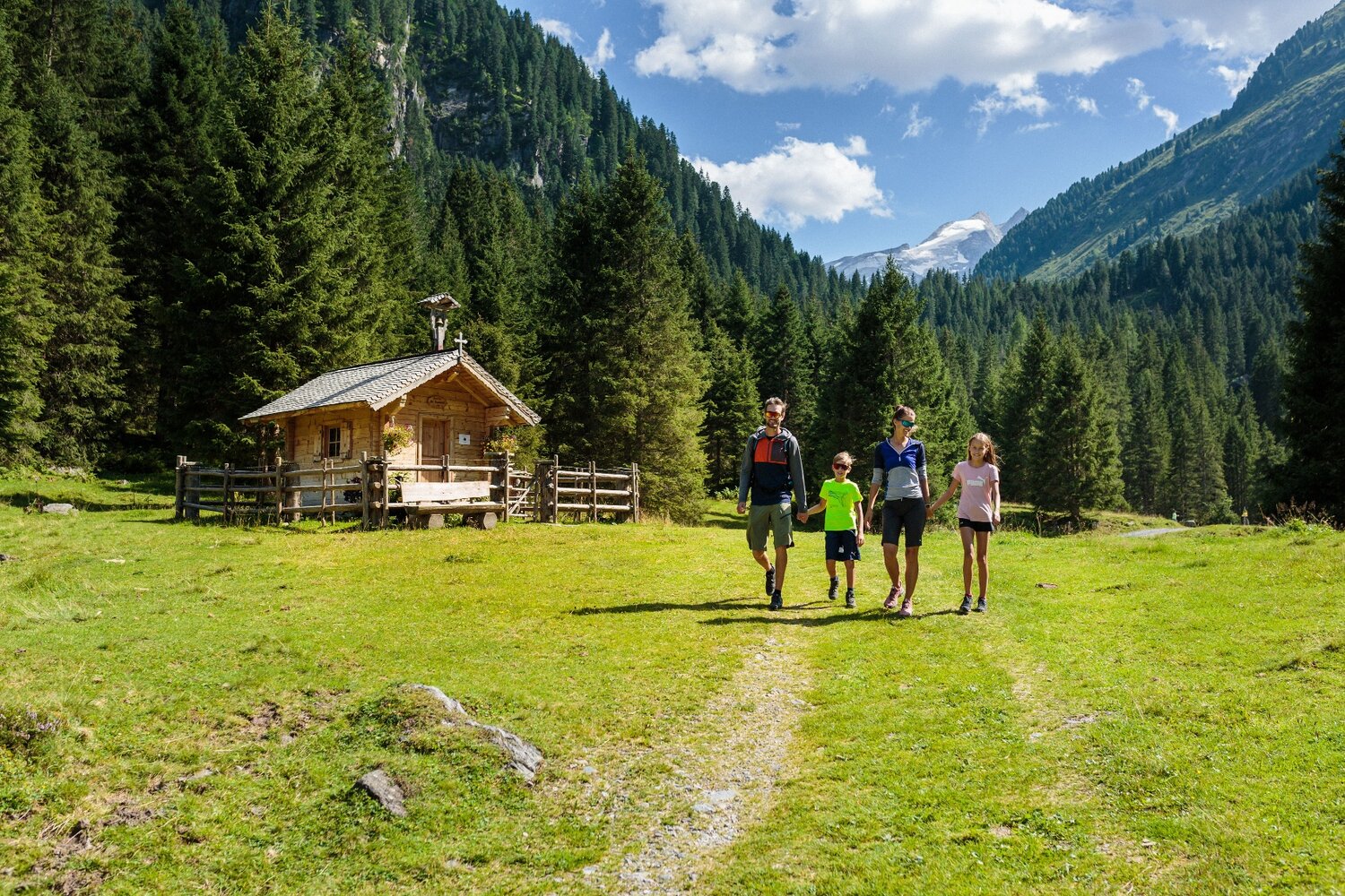
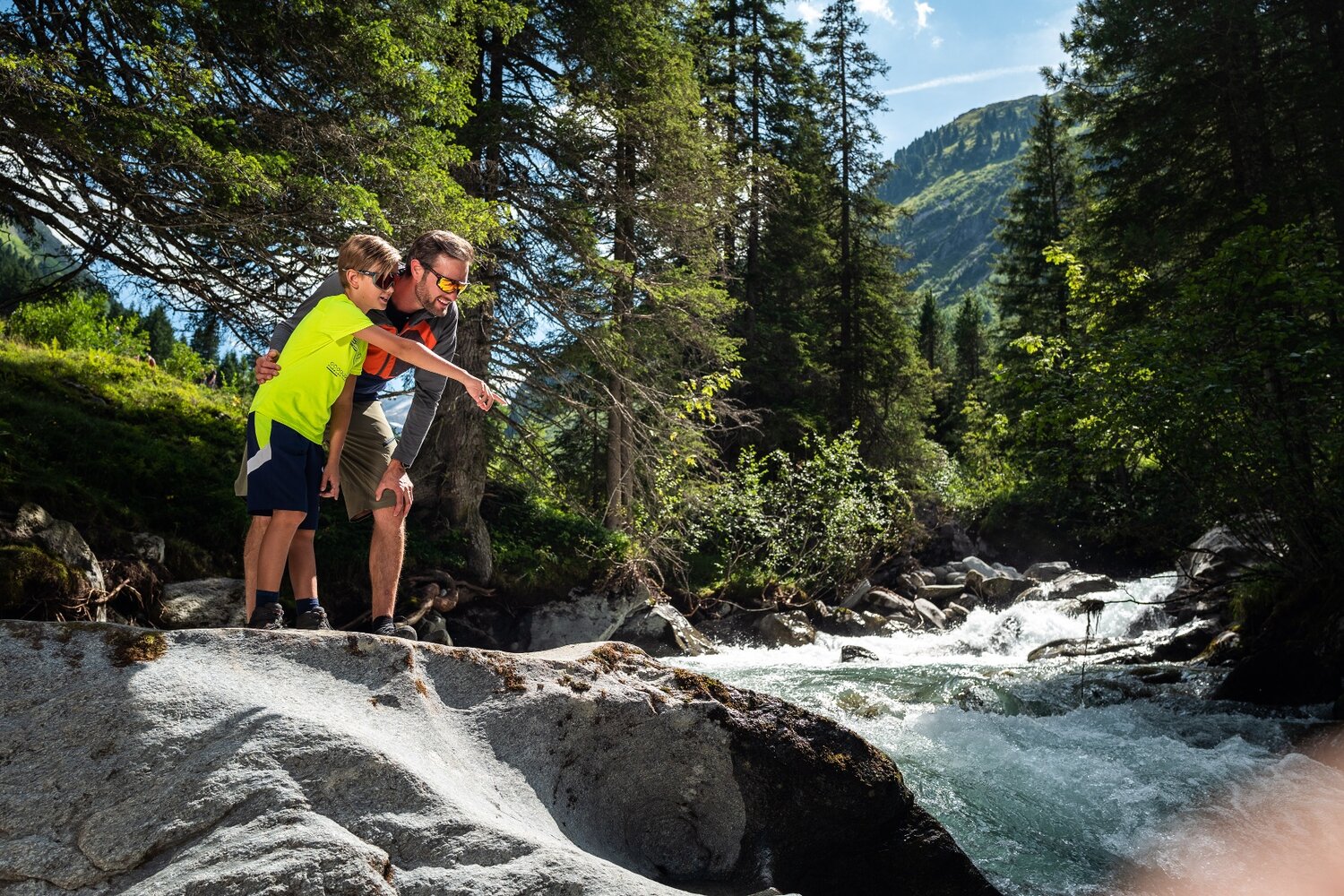
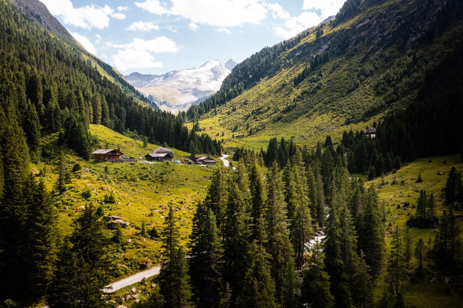
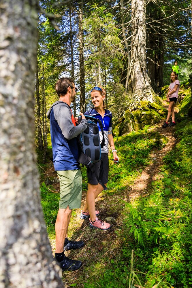
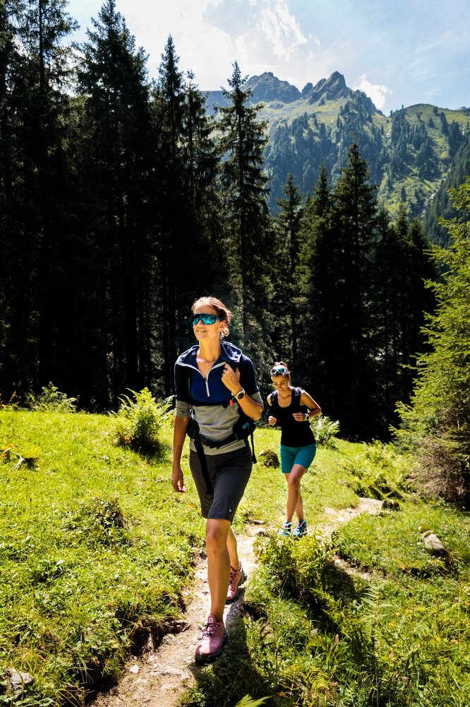
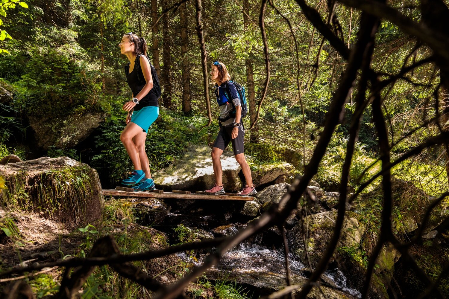
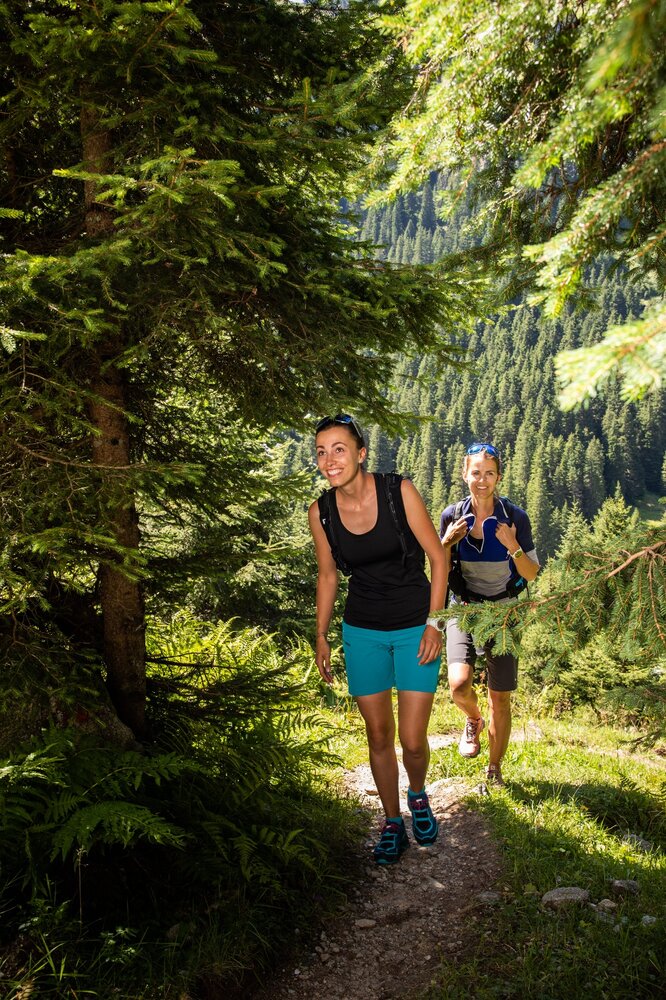
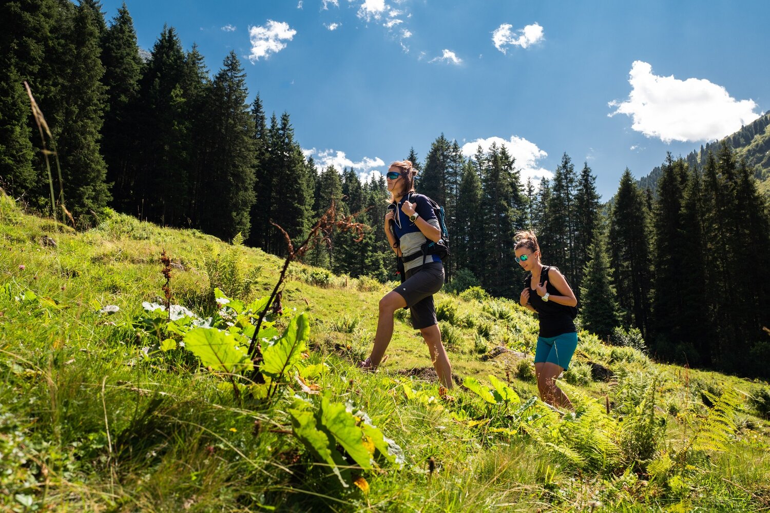
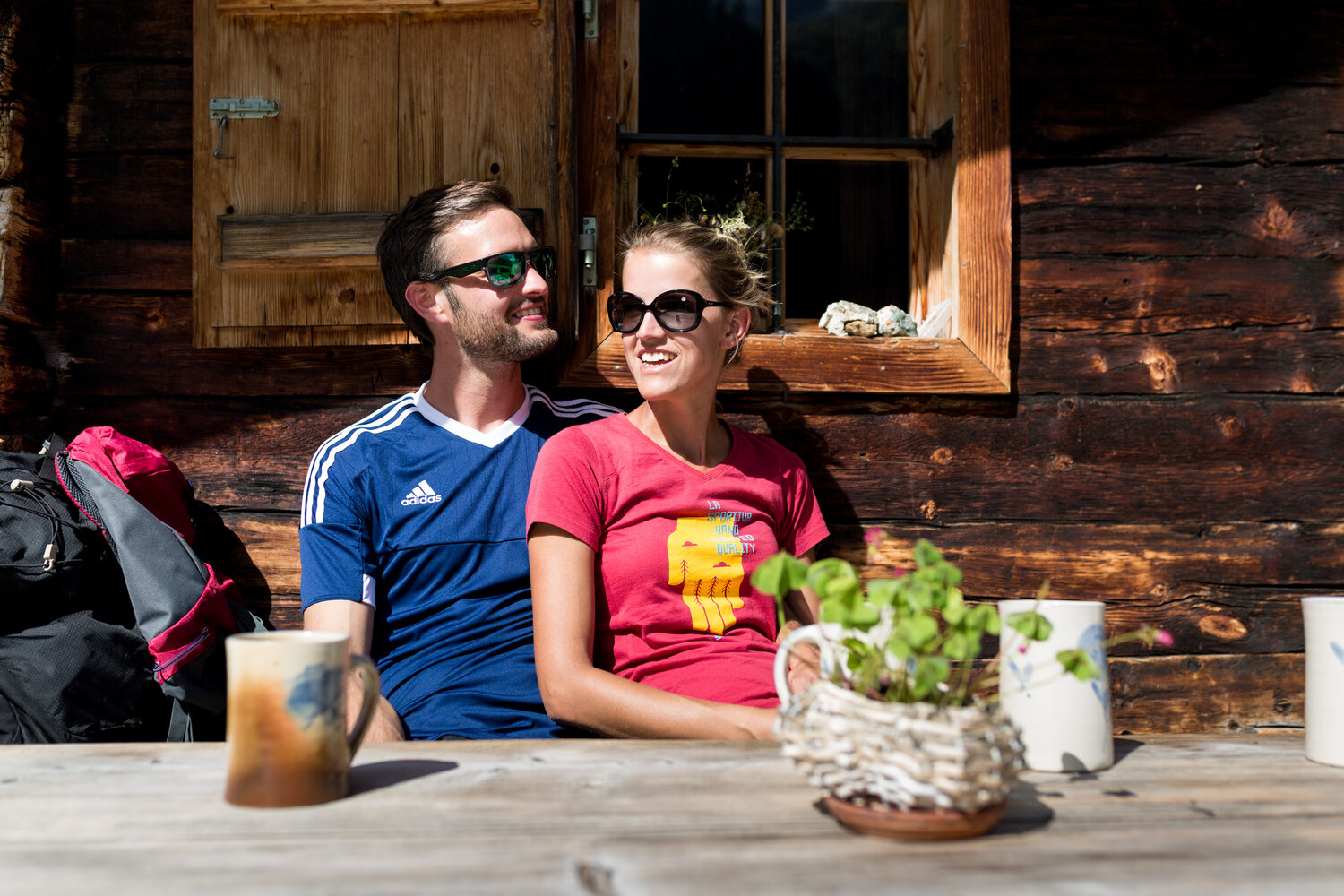
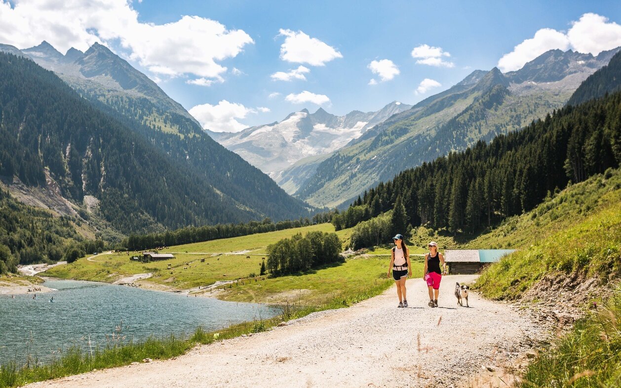
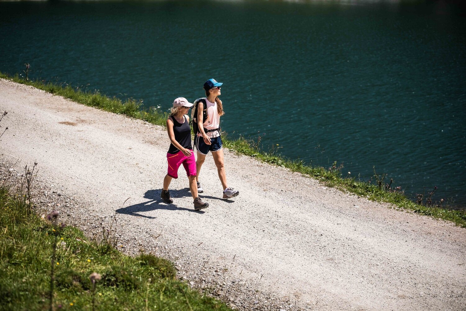
From the car park of the Gasthof Finkau (1.409m) at the end of the Durlaßboden lake, the path leads down a shady forest path no. 540 past the natural monument, Leitenkammerklamm, up to the rustic Trissl Alm (1.583m). The path continues straight on through open terrain, along the stream, through the wonderfully romantic Wildgerlos valley. In the westerly valley of the Hohe Tauern National Park, large rock formations, which can be climbed by young and old, provide lots of variety on the approx. 2 hour hike through to the large waterfall at the end of the valley. A head for heights is an absolute necessity for the steep ascent on path no. 540 to Zittauer Hütte (2.328m). Crossing over stone steps and secured with a rope on the rock face, you can climb up past the moraine to the waterfall and then finally onto the Zittauer Hütte (2.328m). The lodge, which has been awarded the environmental standard, was built in 1900. A magnificent landscape awaits you at the top with the Wildgerlossee and the choppy glacier landscape of the Wildgerloskees. Then it`s back to the Gasthof Finkau along the same path. It is also possible to just hike through the wunderful Wildgerlos valley and turn around at the turnoff to Zittauer Hütte.
Zittauer Hütte
Beschreibung
Through Leitenkammerklamm natural monument to Wildgerlostal, then to the Zittauer Hütte and the beautiful Wildgerlossee.