


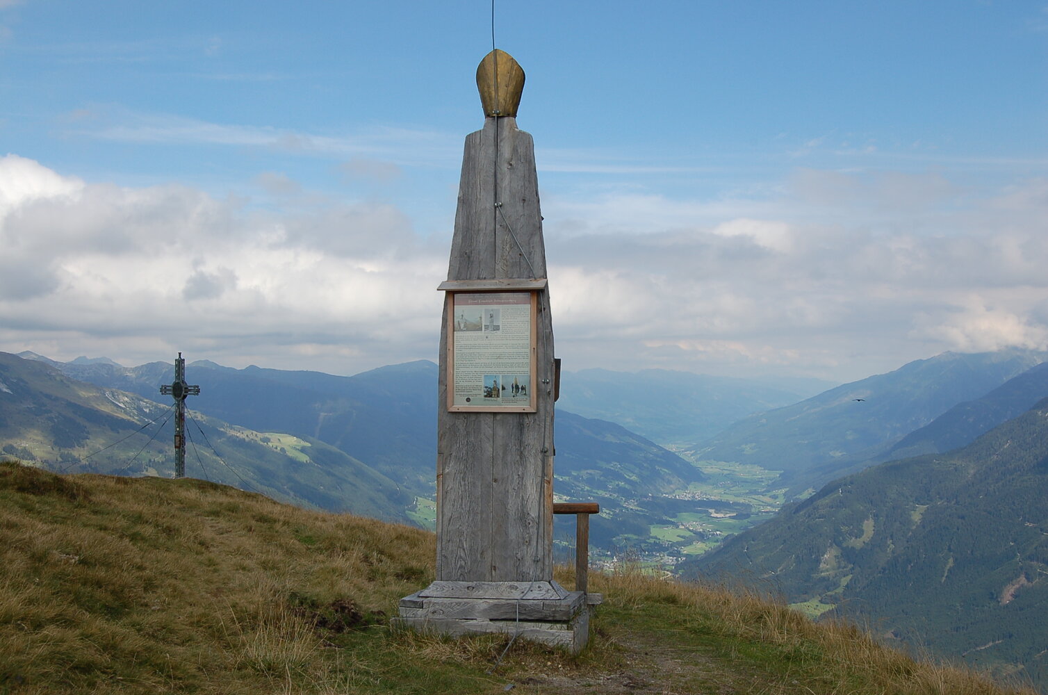
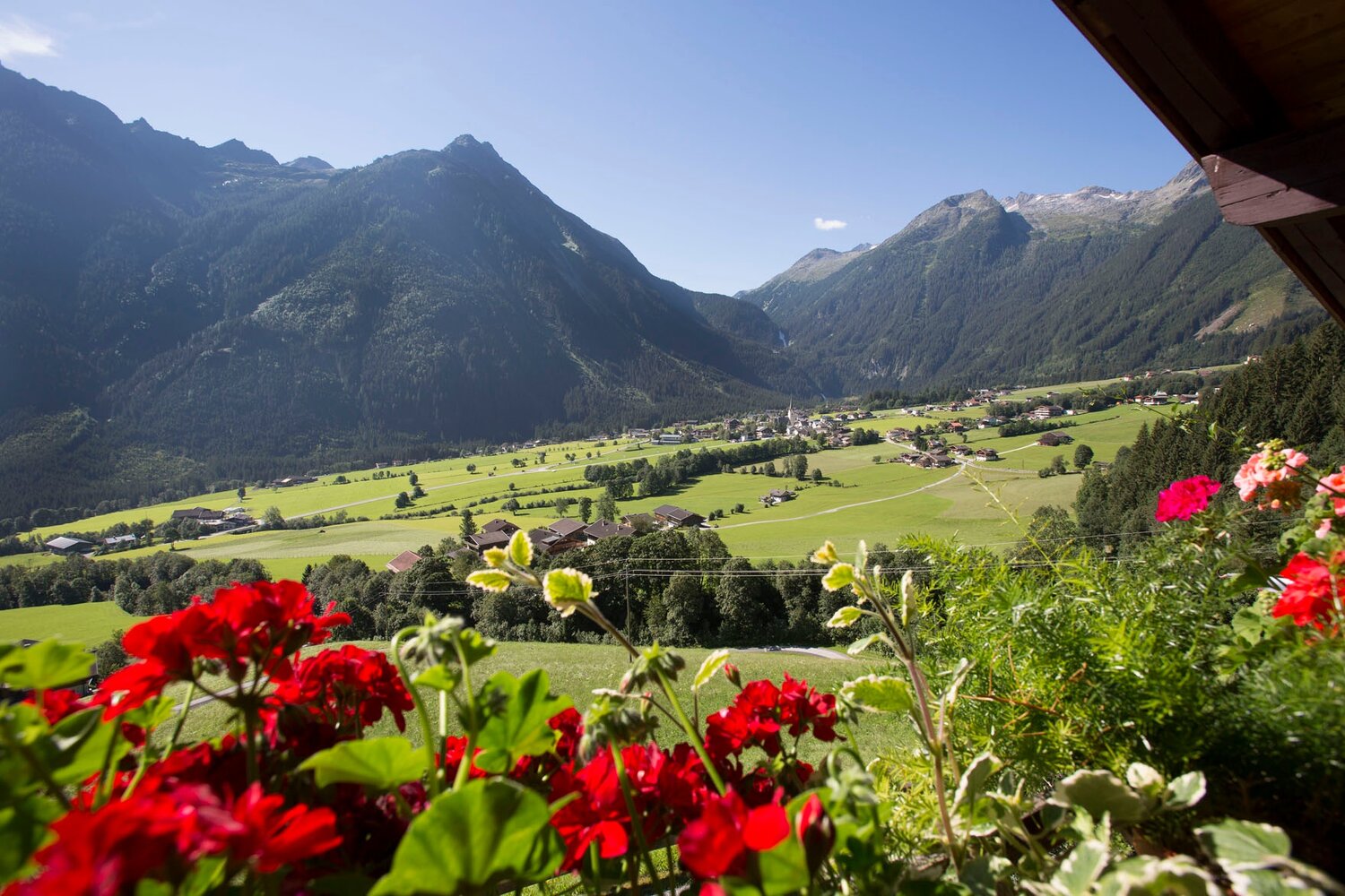
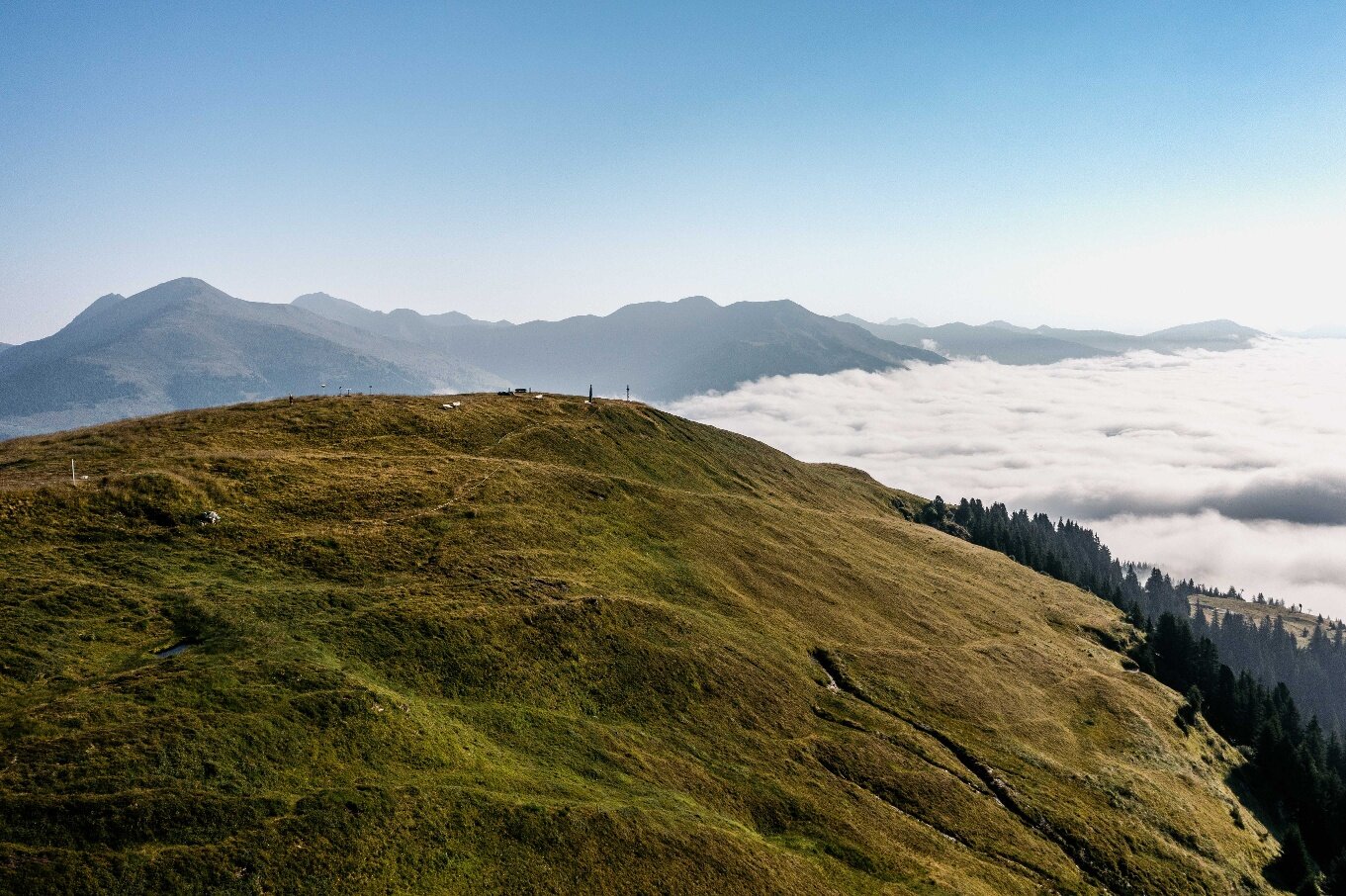
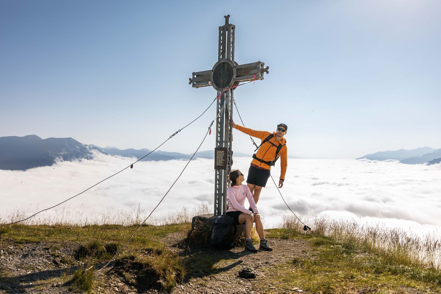
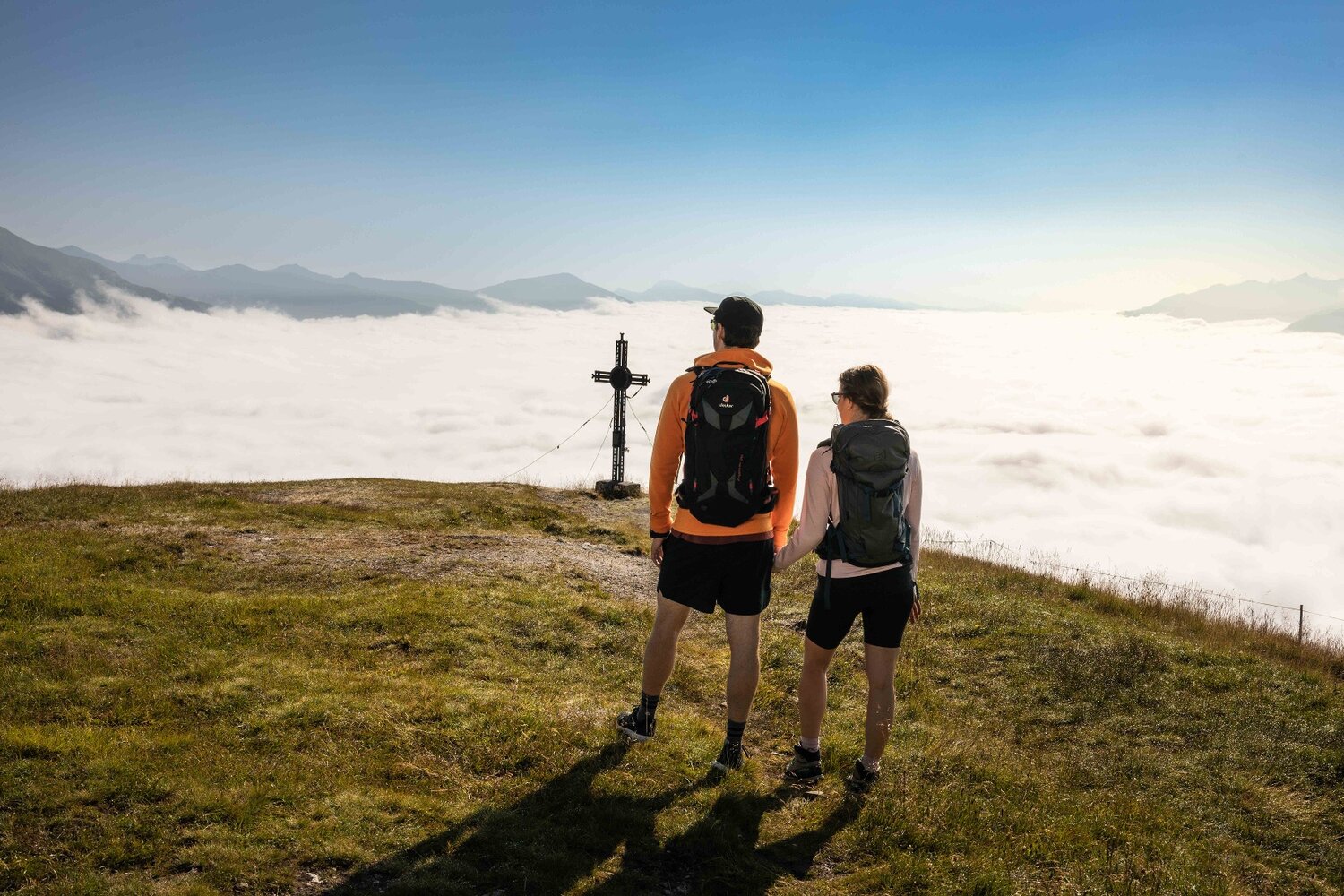
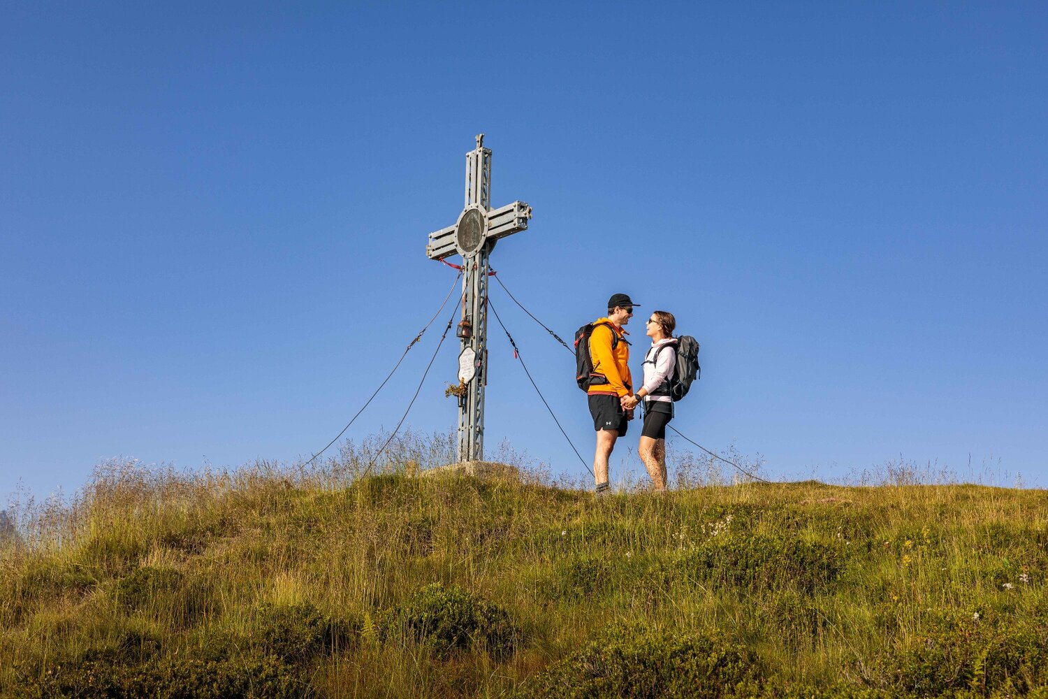
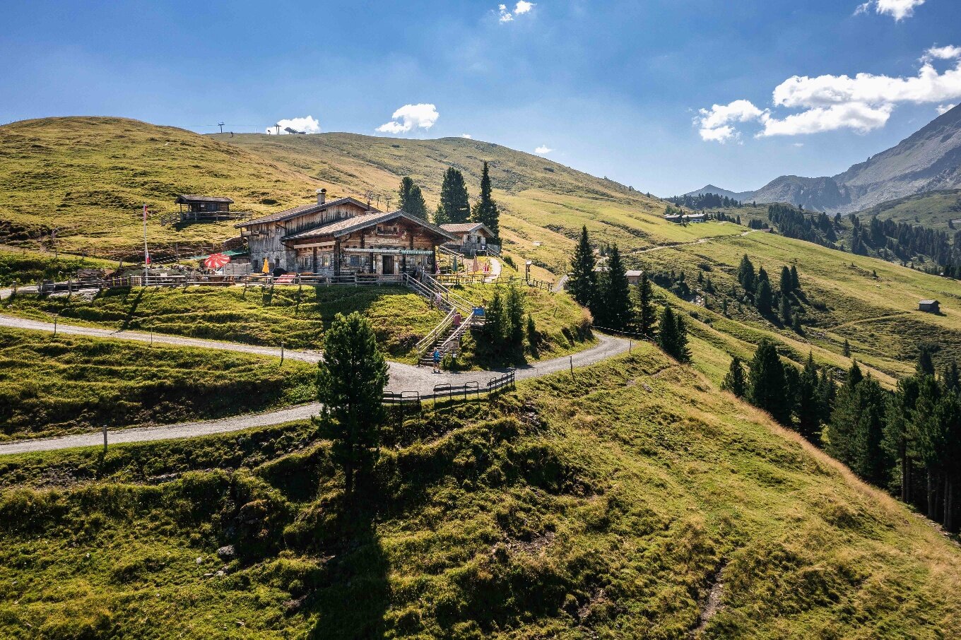
This hike begins in the small community of Unterkrimml. Close to the Bergerbauer organic farm, a gravel path, which turns into a hiking trail, leads through meadows and forests to the rustic Samalpe. Soon after this hut, you will cross the Gerlos Alpenstrasse, follow the path in the direction of Filzstein, then continue via a virtually flat pathway to Silberleiten. Now, however, the path gets a little steeper, but before you know it you will have reached the Gletscherblickalm, a hut which invites you to enjoy a pleasant refreshment stop. With your tummy full, you will have no problem at all tackling the last few meters up to the top of the Plattenkogel. From the summit, you have breathtaking views of the glaciated mountains of the national park, as well as of Zillertal and Salzachtal valleys.