

Ab Wald Ortsmitte Richtung Neukirchen – über Brücke dann links hoch – Plenkenhof – 50 m vorm Plenkenhof rechts ab – Waldweg zur Hieburg – Ghf. Abelhof
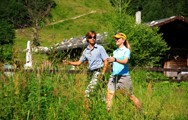
Gemütliche Wanderung entlang des Sonnberges
Ab Wald Ortsmitte Richtung Neukirchen – über Brücke dann links hoch – Plenkenhof – 50 m vorm Plenkenhof rechts ab – Waldweg zur Hieburg – Ghf. Abelhof